Surprise Canyon Trail – Panamint City
Trip Overview
Surprise Canyon Tail to Panamint City is an interesting trip back in time to a mining town that had two different lives. One in the 1800’s and one as late as the 1980’s.
The descriptions below are a combination of two trips taken to Panamint city in November of 2011 and February of 2013. In November we experienced rain and snow and in February the weather was perfect. This hike is not recommended in the summer as the weather can exceed 100* and there is little to no escape from the sun and heat.
The trail should be considered strenuous and is around 5.5 miles one way with nearly 4,000′ of elevation gain from the trailhead to Panamint City. We found that there are many places that the trail is indistinct and some exploration might be necessary to get back on the main trail. The trail is primarily rocky terrain and seems like it is never ending up hill.
There is reliable water for the first part of the trail, flowing out of Limekiln spring and Brewery spring, but then becomes dry. There are two reliable sources of water just outside Panamint City. One is from a spring above “the Castle” in Sourdough Canyon, and the other is from a spring fed barel by thompson camp in Water canyon.
Table of Contents
Getting There
Getting to the Surprise canyon trailhead involves several miles of dirt roads. Be sure to familiarize yourself with the last few miles of the trip as you will be on dirt roads without any street signs to assist in navigation.
IMPORTANT: The last 1.5 miles of the road you will be driving into Surprise canyon. The road here is generally single lane and can be any variation from nicely graded and smooth, all the way to impassable without 4 wheel drive and high clearance. When we did the trail there were a couple of rough spots but nothing that our SUV had any issue with. As always when driving in the desert, be aware of your surroundings and the weather.
Using your mapping software of choice you can search “Chris Wicht Camp” on surprise canyon road as the destination point. As you look at the map, there’s two main ways to get there. You can come in from the south direction via Ballarat Road (preferred), or from the north on Indian Ranch Road.
Via Indian Ranch road
Taking Indian Ranch road from the north side where it intersects Trona Wildrose road adds 8 extra miles of dirt road driving before hitting Surprise Canyon Road. It is generally a good road but the extra dirt road driving increases the chance of making a wrong turn. After turning onto Indian Ranch Road, travel 10 miles to a large intersection with a white rock in the middle. Go east (left) toward the mountains and suprise Canyon
Via Ballarat Road
If coming from Ballarat road, once you enter the ghost town of Ballarat, turn north (left) on Indian Ranch road and continue for 2 miles until you come to a rather large intersection with a white rock in the middle of it. At that intersection turn East (right) to head toward the mountains and surprise canyon.
From the Ballarat road/ Suprise Canyon road turn off it is about 4 miles to the end of the road and the parking location.
As of 2023 Google maps could not provide turn by turn directions, but the Waze app did.
Surprise Canyon Trail – The Trek to Panamint City
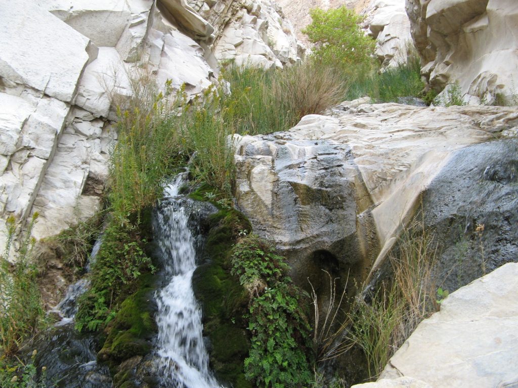
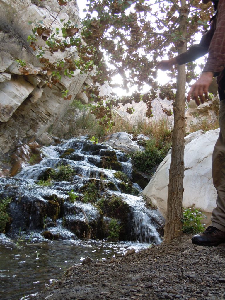
We were eager to get started so we didn’t get any photos of the trailhead area but it starts out just past where the road ends at Chris Wicht camp. Right away you start out deep in a canyon. Its hard to imagine that there used to be a road through here. Soon after starting you come to the first obstacle. A not insignificant scramble either up a waterfall or over a 5+ foot rock. Depending on the time of year the waterfalls can be flowing aggressively. We chose to climb over the rock and stay dry for the moment.
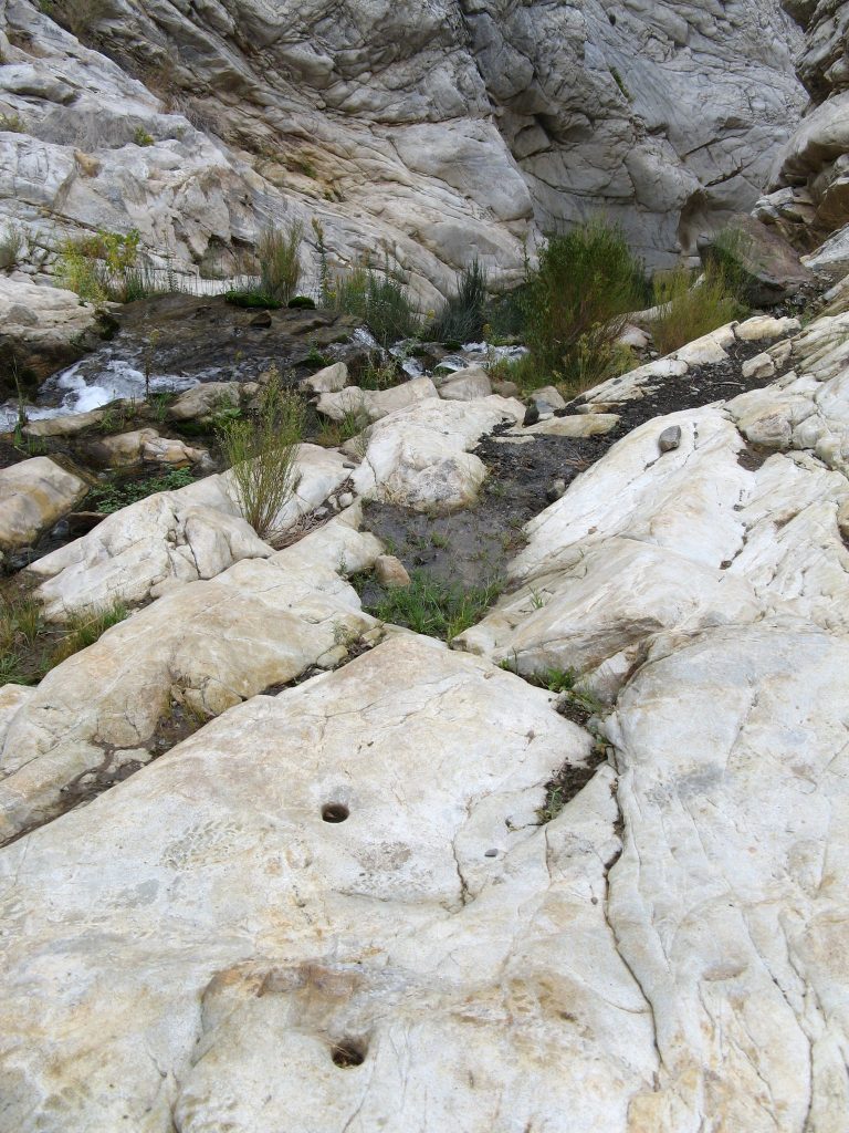
Once gaining the top of the waterfall and looking back down the trail, you can see the remnants of the 4WD days with the holes drilled for the anchor points. Up until the early 2000’s surprise canyon was popular with Jeeps and other off road vehicles. They would use these holes to place anchor posts where they could winch themselves up the waterfall.
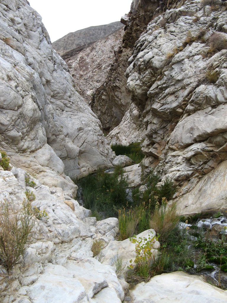
Its a stark contrast to see so much water, when just leaving what seems like such a barren desert scene in Trona and Panamint valley
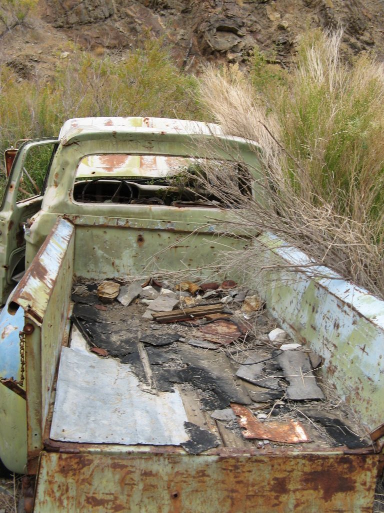
The first sign of how significant of a road there used to be is this truck sitting on the side of the trail. In this section of the trail there is nearly no evidence that a road used to run through here. A flash flood in 1983 destroyed the road that once led up the canyon.
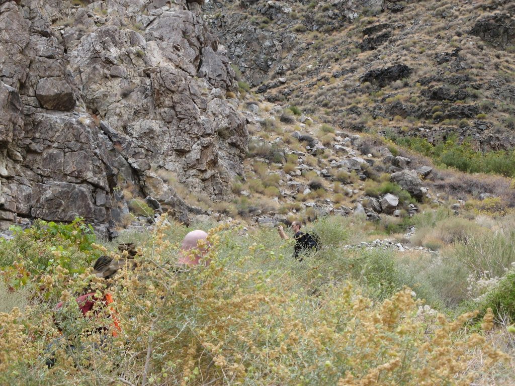
The trail up the canyon varies between being easy to follow and overgrown by 6′ brush. On our first trek up the valley three of us ended up on three different use trails. Due to being in a steep valley, there was no danger of being lost, but some trails proved to be easier than others.
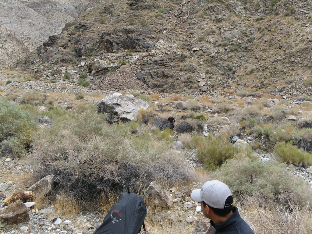
After passing Brewery spring the canyon begins to widen out some but for a while the trail is still indistinct. On the north side of the canyon is also the 1800’s era red light district. All that remains of it now are some stacked stone foundations.
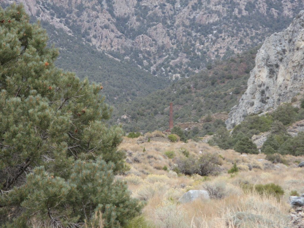
After what seems like forever comes the first glimpse of the smelter tower that marks the location of Panamint city. This is not the time for excitement though, as there are still miles to go (at least it will feel that way). That tower is tall and still a loooong way away.
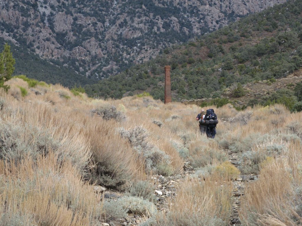
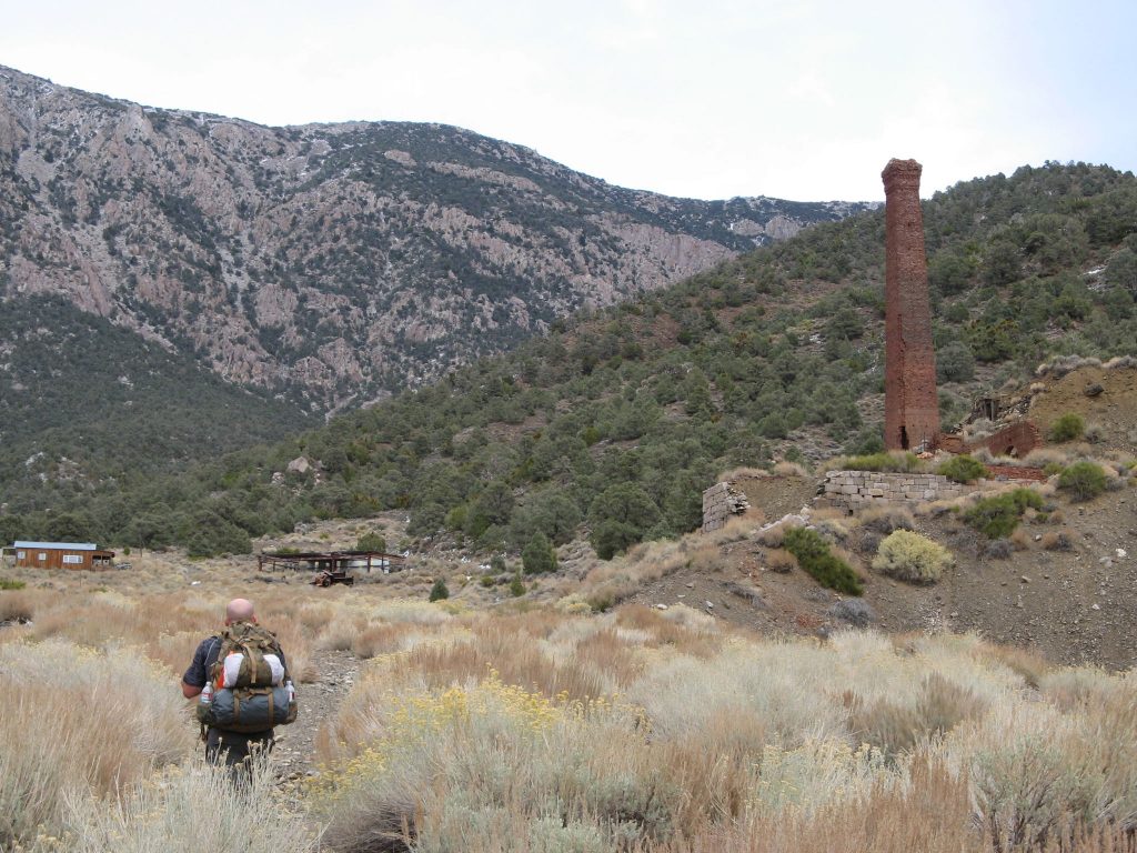
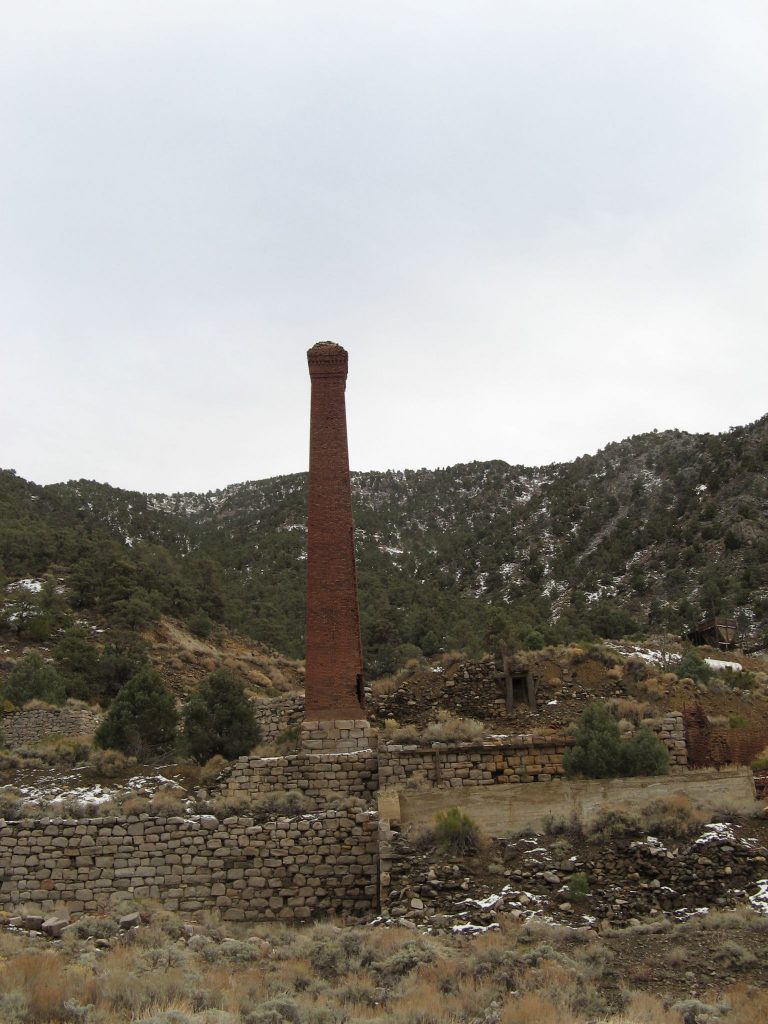
The size of the tower comes in to focus as you get closer to it. By the time that we got there we almost didn’t care about it anymore! 4000′ of elevation gain is no small feat. Panamint city sits at about 6300′ of elevation.
Exploring the “City’s” Buildings
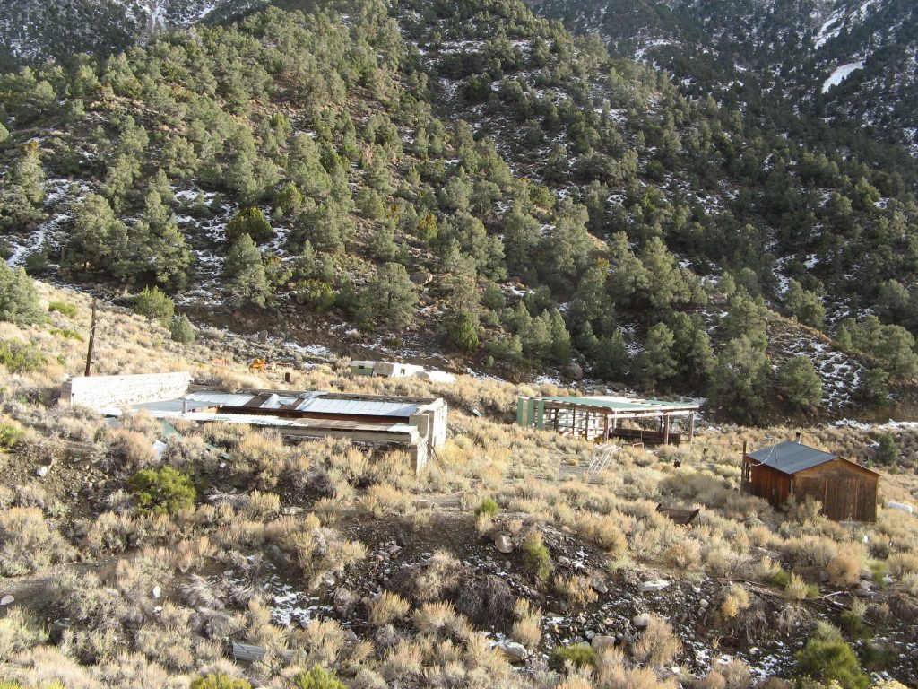
Up until 1983 there was an active mining operation in the valley. Then overnight the road was washed out by a flash flood and the town was abandoned. Most of the equipment was left in place, including the fully equipped mill, several vehicles and buildings. The buildings are all in various states of disrepair with only two of them being habitable (The “Castle” and the “Hilton”). The image above is taken from the north side of the valley overlooking the garage and the “Panamint City Hilton”
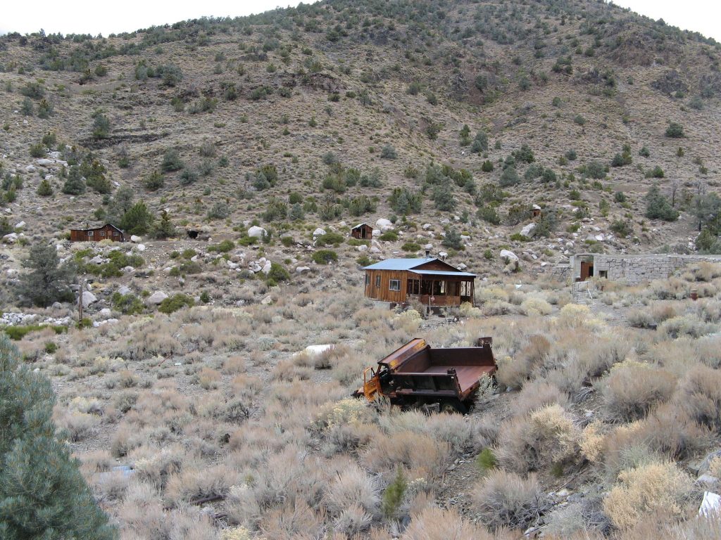
From the south side of the canyon you can again see the Hilton in the foreground along with the Overflow cabin in the background on the left. To get to the Castle is a short trek up Sourdough canyon which is to the left of the Overflow canyon and North.
Overflow cabin
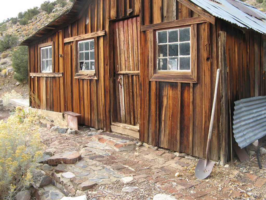
The Overflow cabin is just up the hill on the north side of the valley. From the outside it looks to be in decent shape with a nice tin roof and most of the windows intact.
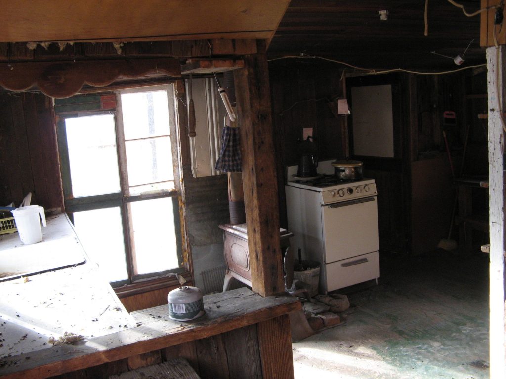
Looking inside you still see a nearly fully equipped house with a range, wood stove and a sink/ counter area. It would all be good except for the fact that the rodents have completely taken over. There’s droppings every where and unless you have no fear of hanta virus, this is likely not a viable option to stay in.
Panamint City Hilton
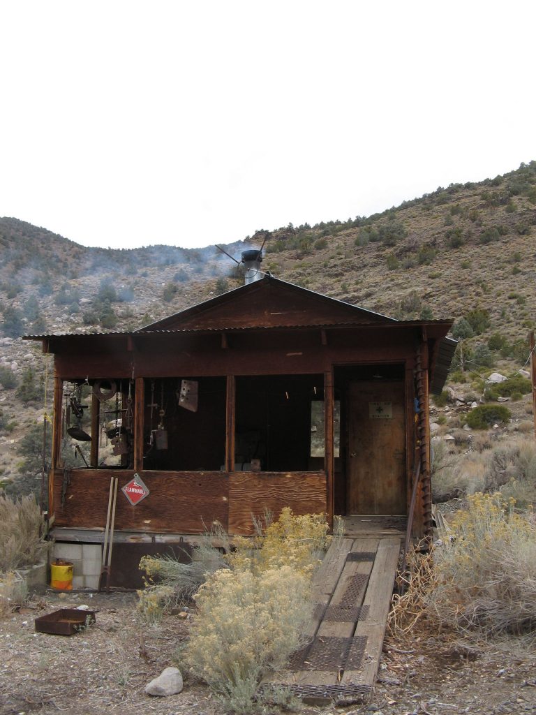
The Hilton is one of the two “nicer” cabins that can be occupied. While there are rodent droppings present, it’s not nearly as bad as the overflow cabin. There’s a nice porch for sitting on, and technically the house is ADA compliant with the ramp up to the front door.
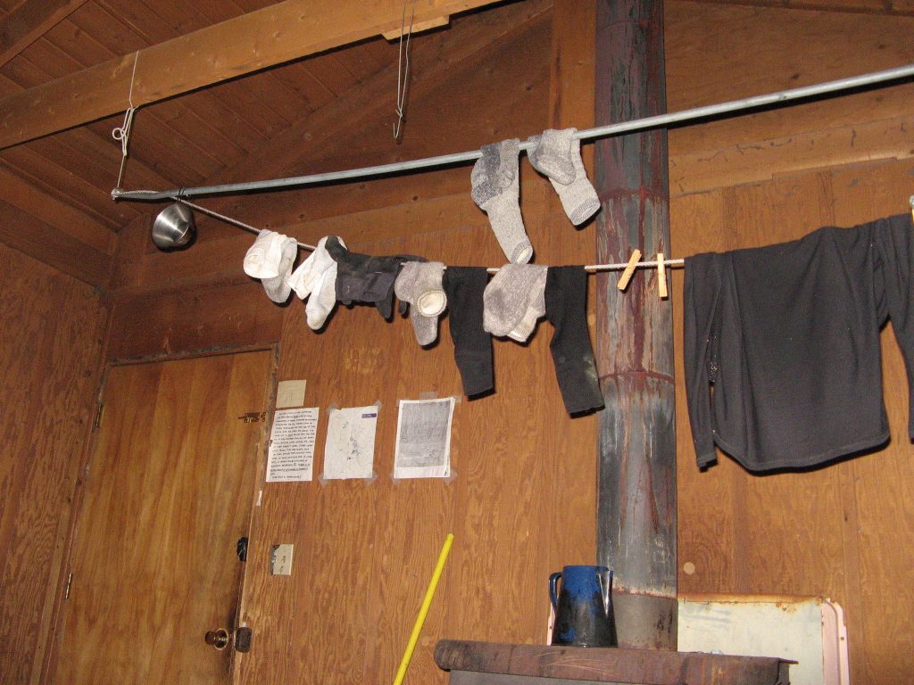
Since we were there when it was raining/ snowing we leveraged the clothes lines to dry out our soggy socks.
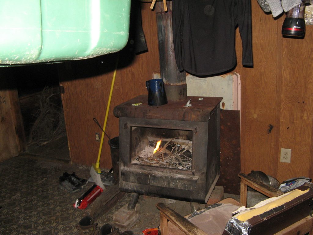
There’s also a wood burning stove in the cabin. This was a welcome relief to us as well as while the snow was falling out side, we were toasty warm. We did find though, that it is not a good idea to place a duraflame log in this type of stove. It simply turns to mush and creates a raging inferno. Lesson learned and no harm done.
Also in the Hilton is a single cot and a kitchen with no working appliances or amenities.
The “Castle”
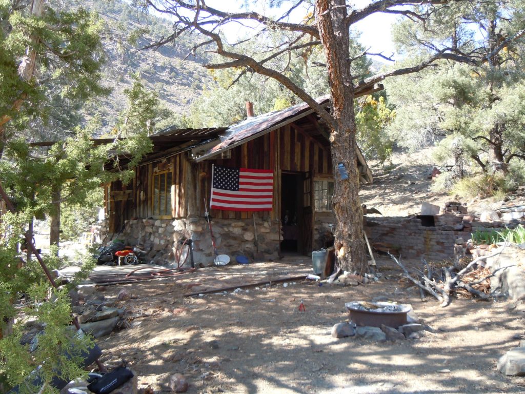
The castle is a little bit away from the main part of Panimint city up a side canyon. Its construction is different in that it has a stone foundation and has fared a bit better than the other buildings. There are still the ever present rodent droppings, but feels more like a normal residence.
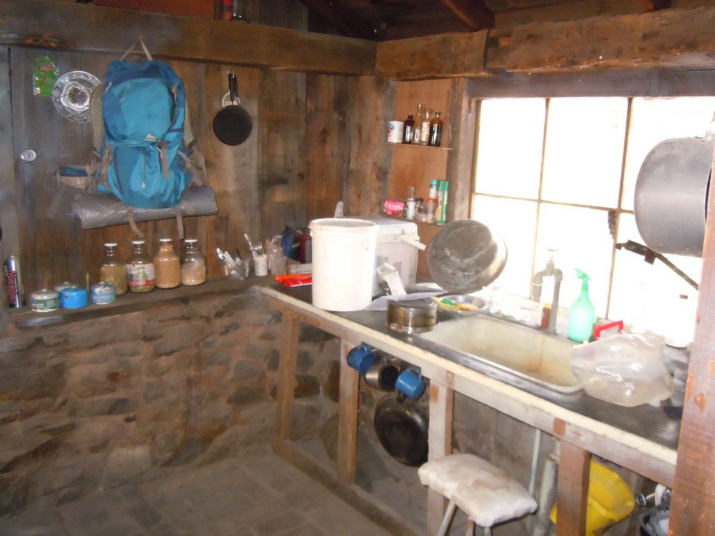
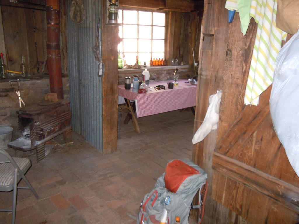
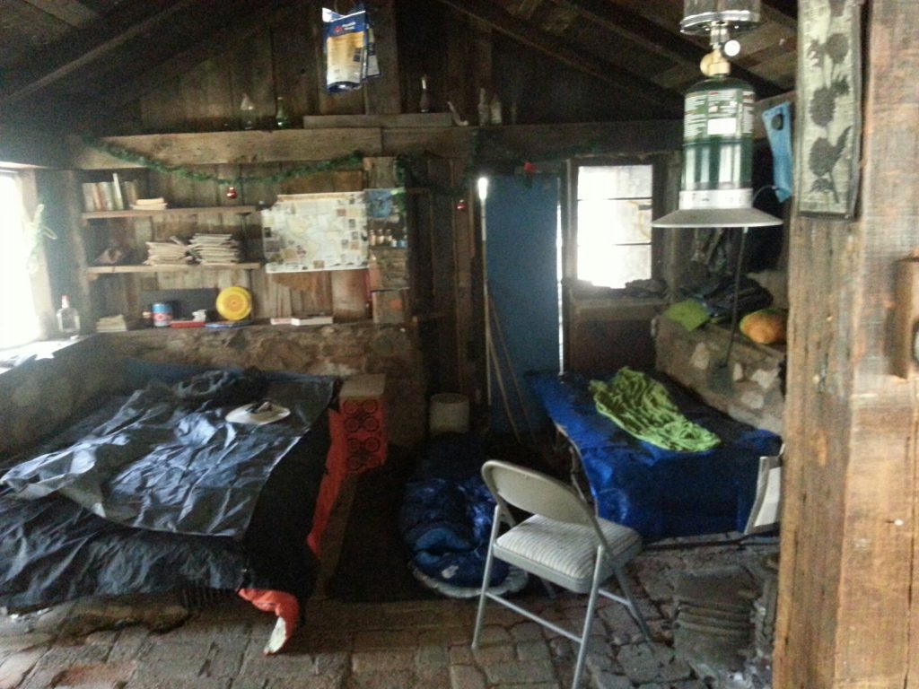
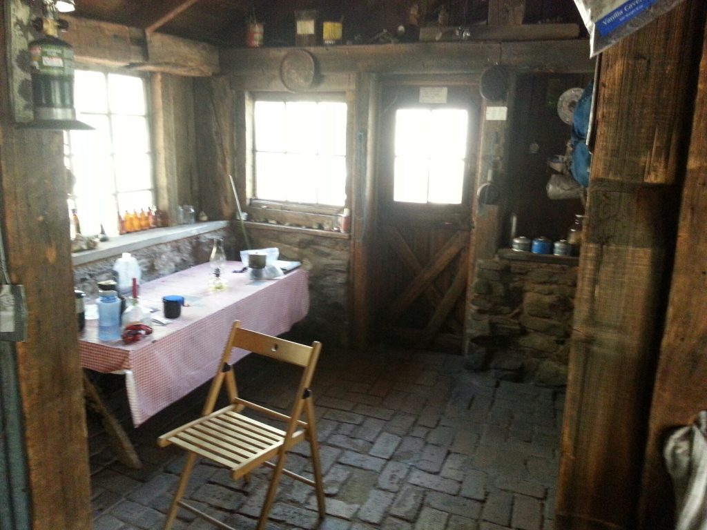
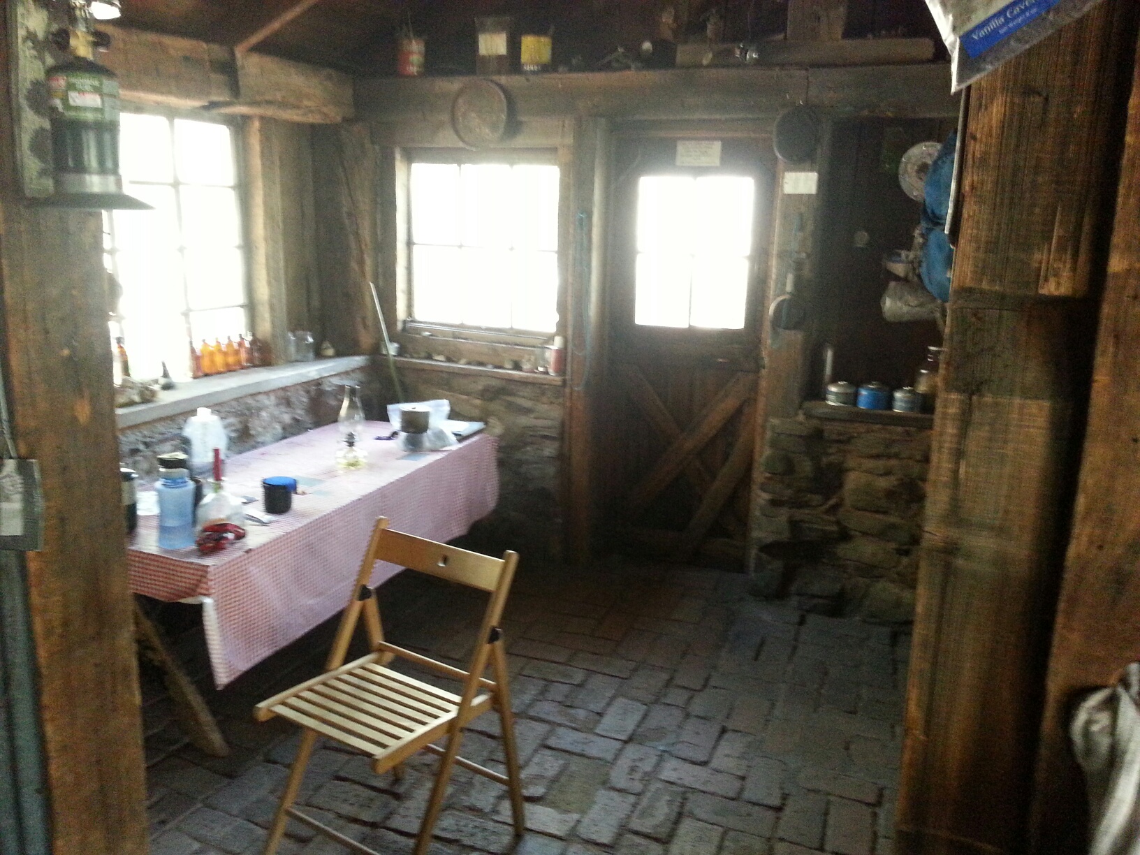
There are two rooms to the castle, a “bedroom” with two beds and a kitchen/ dining area. the floor is brick. The kitchen features running water, although we had to “fix” it several times to get it to work. The water is supplied by a hose running several hundred feet up the canyon to a spring coming from the ground. Invariably one or more of the extensions for the hose would break and therefore no more water.
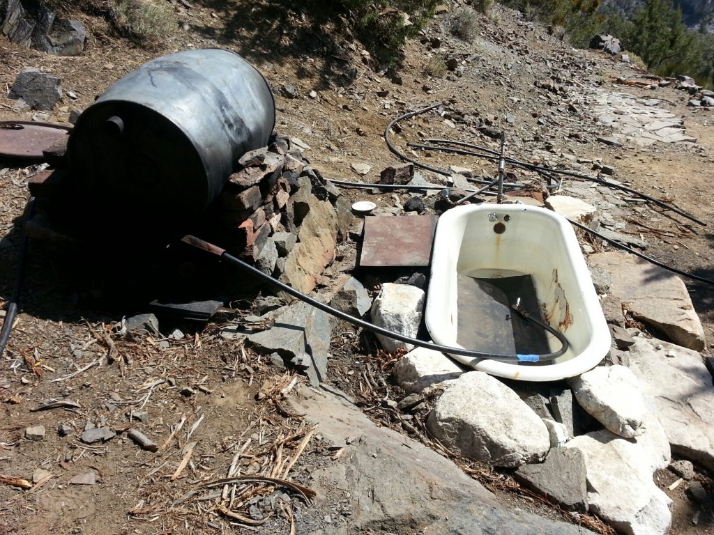
There’s nothing better about backpacking than visting the hot springs. Well, at the Castle, you can take a hot bath if you desire. There’s a large metal drum that can be filled with water from the same spring/ hose system feeding the sink. Then you light a fire under the drum to heat the water and fill up the tub for a nice relaxing soak.
Mining Artifacts
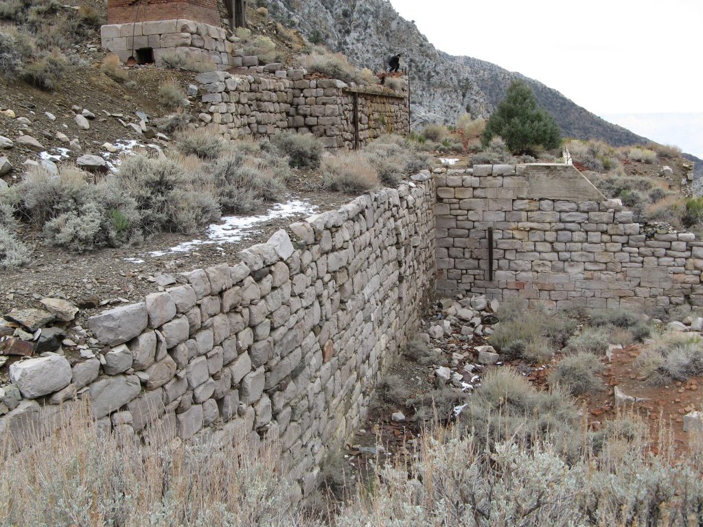
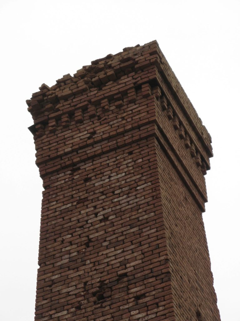
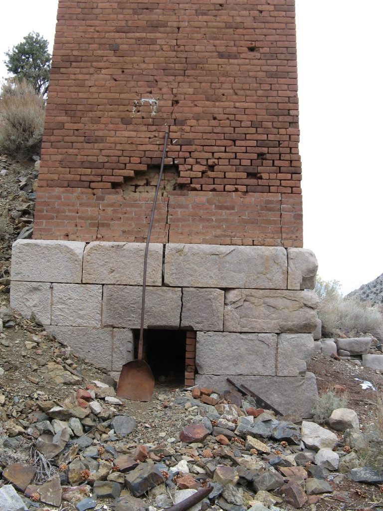
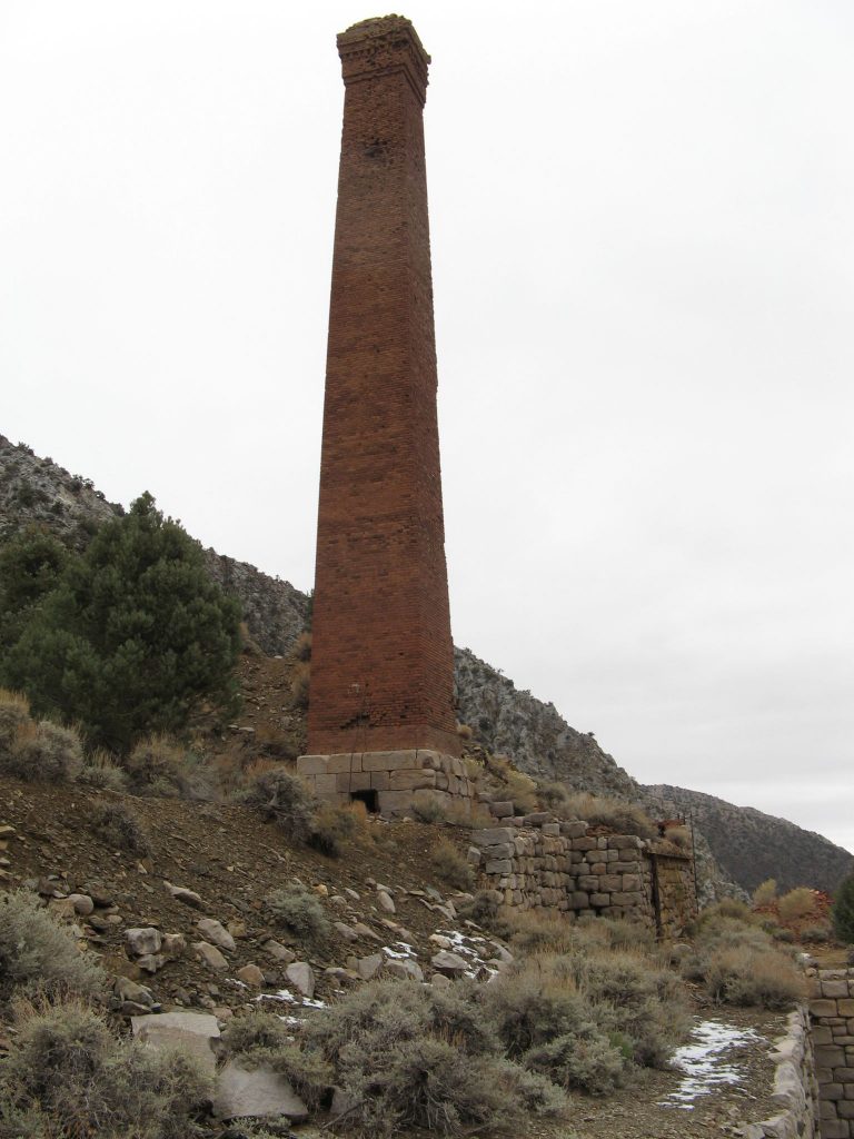
The smelter is the dominating structure in the area. It can be seen for over a mile from down the valley. The workshop above it on the hill still has all of the machinery from when the mine was operating in the 1980’s.
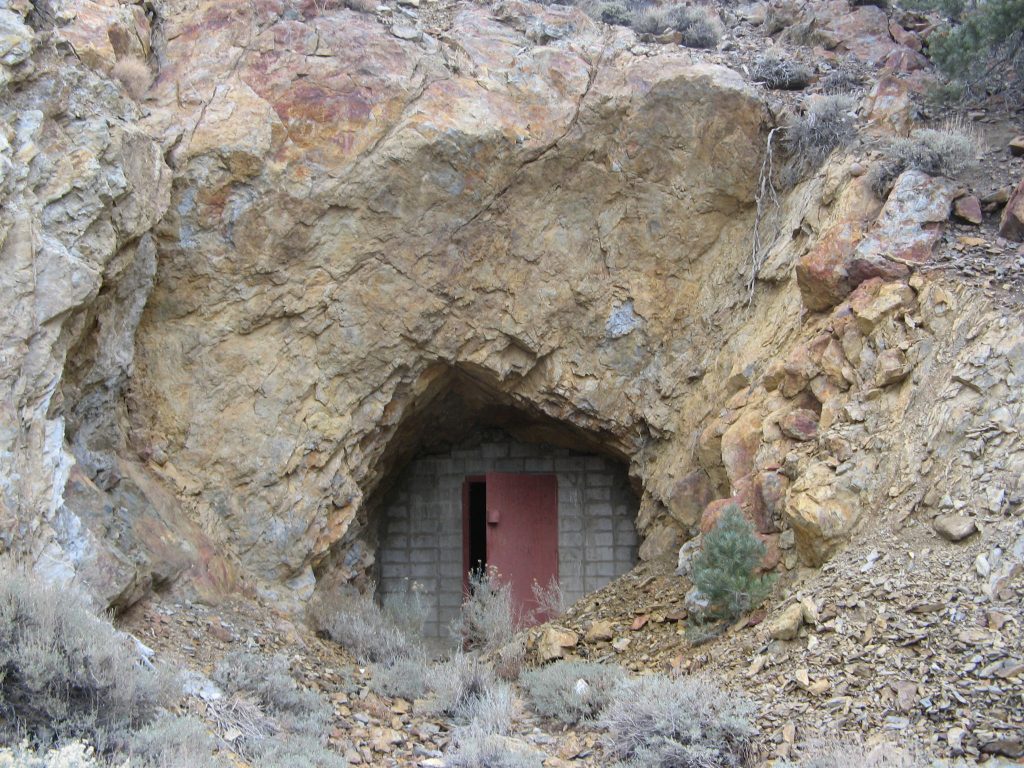
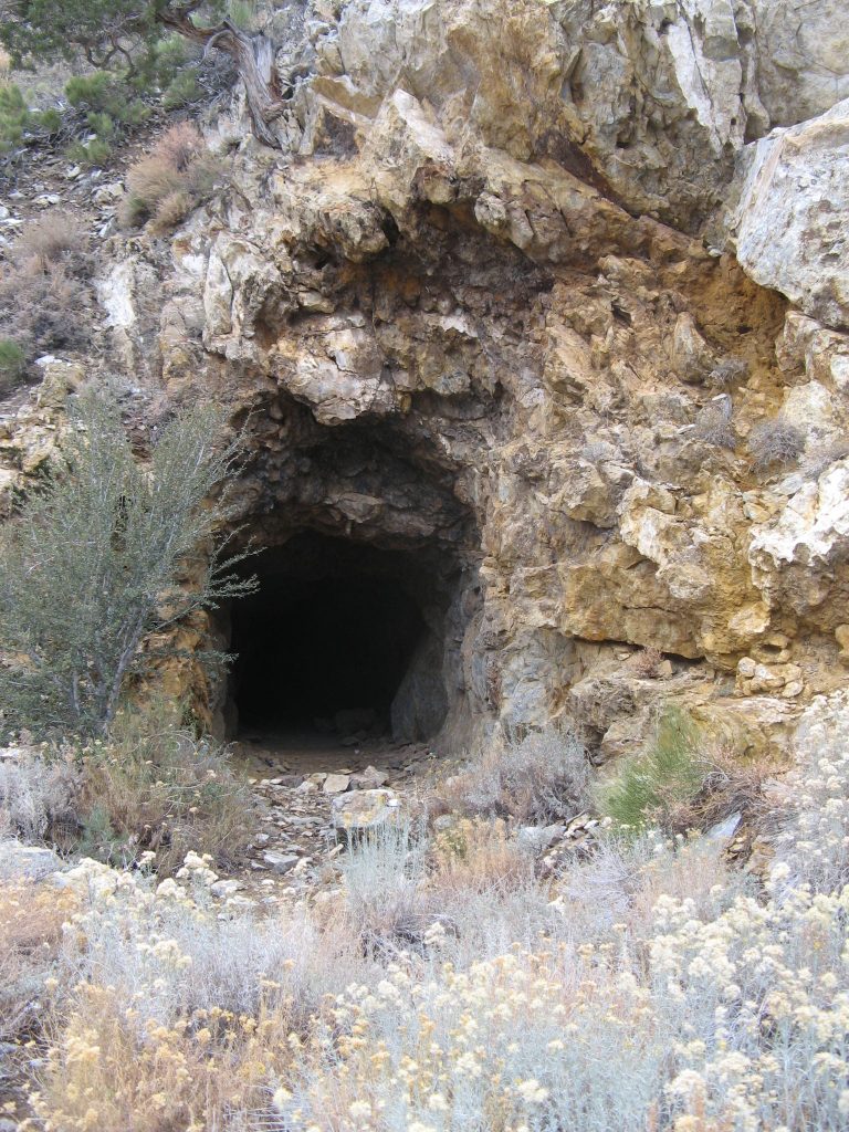
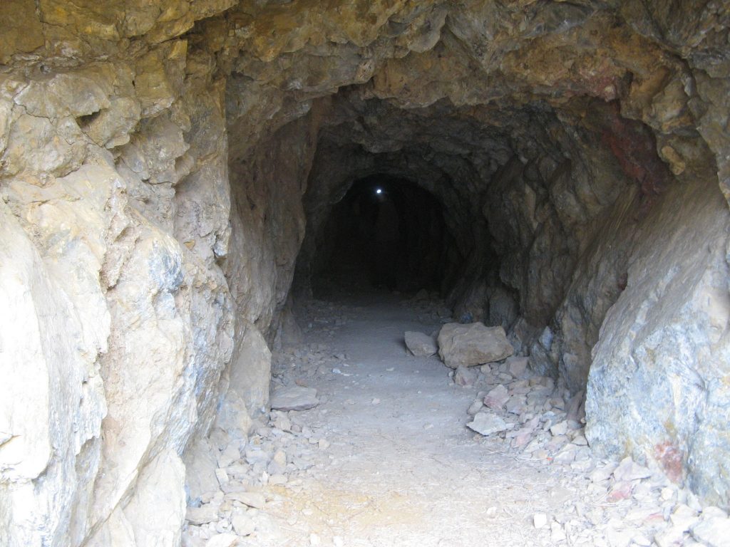
There are still several mines in the area as well. Just above the workshop is a tunnel that goes straight back through the mountain. I’ve read that this was a failed attempt to link to the Wyoming Mine that is further up the hill. Also intact is the dynamite room, complete with its heavy metal door.
There is so much more to explore here that we didn’t end up taking many photos unfortunately.
Vehicles
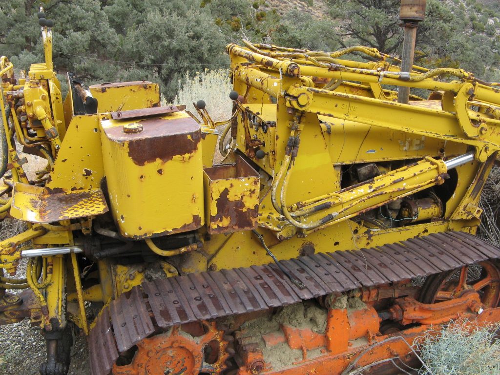
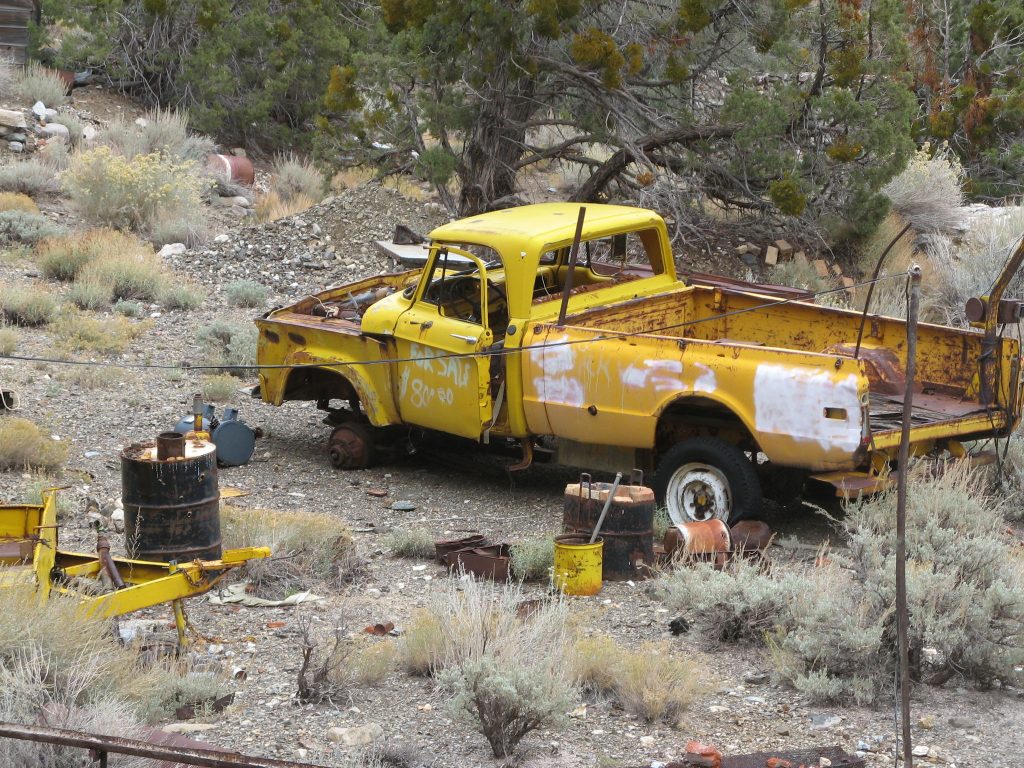
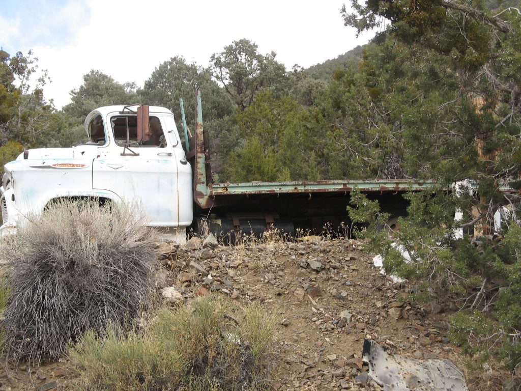
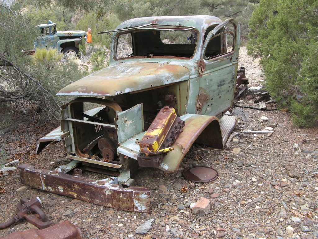
Vehicles are littered through out the valley. Some of them date back to the 40’s or 50’s while most seem to be from the 60’s and 70’s. Despite some bullet holes most of the them are relatively intact.
Frenchman’s Canyon – View to Death Valley National Park
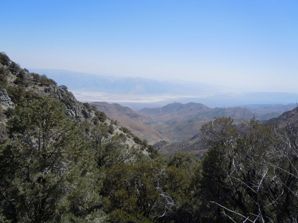
In addition to Surprise canyon itself, there is a side canyon that is well worth the effort to climb. From the top of Frenchmans Canyon you can get a great view of Death Valley proper. This canyon is located to the east of Panamint city and runs to the South East

