Hiking Mt. Baden Powell via Vincent Gap
Table of Contents
Trail Description
Hiking Mount Baden-Powell from the Vincent Gap Trailhead is a challenging and rewarding adventure, The peak is named after the founder of the Boy Scouts of America, Lord Robert Baden-Powell. Although it is a strenuous hike, the reward will be worth it as from the summit of you will get stunning panoramic views.
The Vincent Gap Trailhead is located along California State Route 2 (Angeles Crest Highway), Near Wrightwood, CA. The trailhead is situated at an elevation of around 6,650 feet which is about 4.2 miles and 2,700′ below the summit.
There is no water source on the trail so be sure to bring plenty along as there is a relatively high amount of exposure to the elements along the hike. As with most trails in upper elevations of the Angeles forest, pay special attention to the weather. In the winter this area can receive sgnificant snowfall, and in the summer temperatures can reach dangerous levels as well.
Directions to the trailhead
NOTE: Due to 2023 storms Highway 2 is closed approximately 1 mile before the trailhead. Be sure to check conditions prior to departing.
Google Maps Pin for Trailhead Location
As mentioned the Vincent gap trailhead is located on highway 2 west of the town of Wrightwood. The most direct route to get there take Interstate 15, from either direction, to the CA 138 exit for Silverwood lake/ Wrightwood. Turn west on 138 toward Wrightwood. If coming from Bakersfield and north, it may be more beneficial to take the 14 over to the west side of the 138.
On CA138 go about 8.5 miles and then turn left on to CA highway 2. As you pass through the town of Wrightwood this is your last chance to get any last minute supplies.
The trailhead is about 14 miles ahead on the left side of the road. It is well signed and should not be easy to miss. THe easiest sign to see may be the Pacific Crest trail parking sign just before the parking lot. Parking is plentiful with two large areas on each side of the highway, but you want to park on the south (left) side if possible to avoid having to walk across the road.
Trip Report/ Summary
You can examine the route and elevation profile at CalTopo’s site
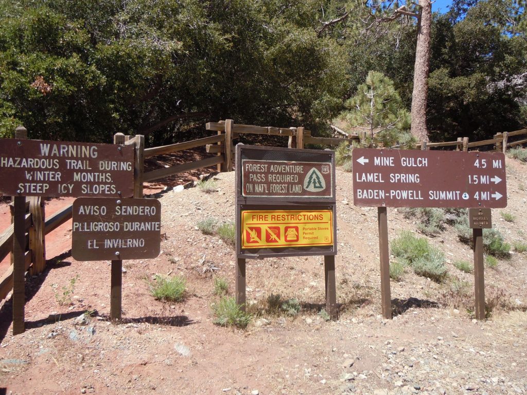
Arriving at the trailhead it is very busy with all the different signs and destinations. Be sure to start on the south side of the highway. There are pit toilets at the trailhead, but as with most busy destinations, it may be in your best interest to use the facilities prior to arriving.
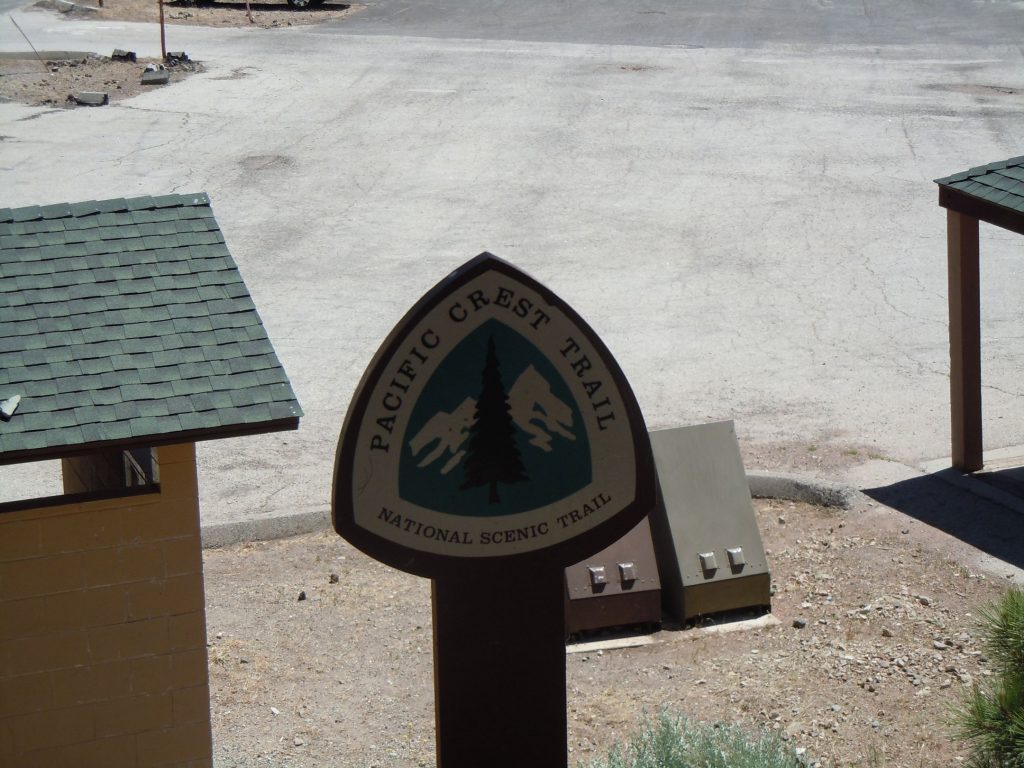
Included in the signs decorating the trail head is the iconic Pacific Crest trail marker. The route to Mt. Baden Powell shares the route with the PCT until the last 1/4 mile to the summit.
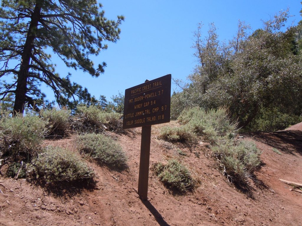
We didn’t get too many images of the trail itself. It’s very well maintaned and easy to follow. There wasn’t too much spectacular about it but there are some very interesting trees. About a mile in there is a bench for you to take a quick rest and evaluate your situation.
Then about 1.5 miles in is the Lamel screen sign. Be sure to continue up the hill at his point and not follow the arrow pointing that way.
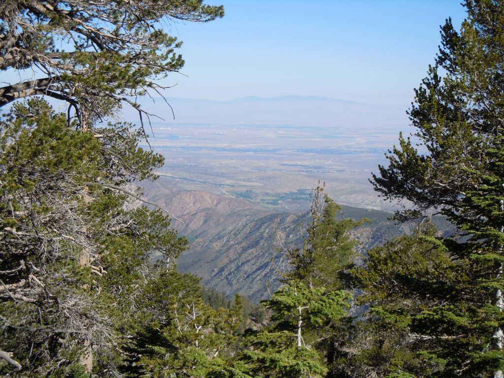
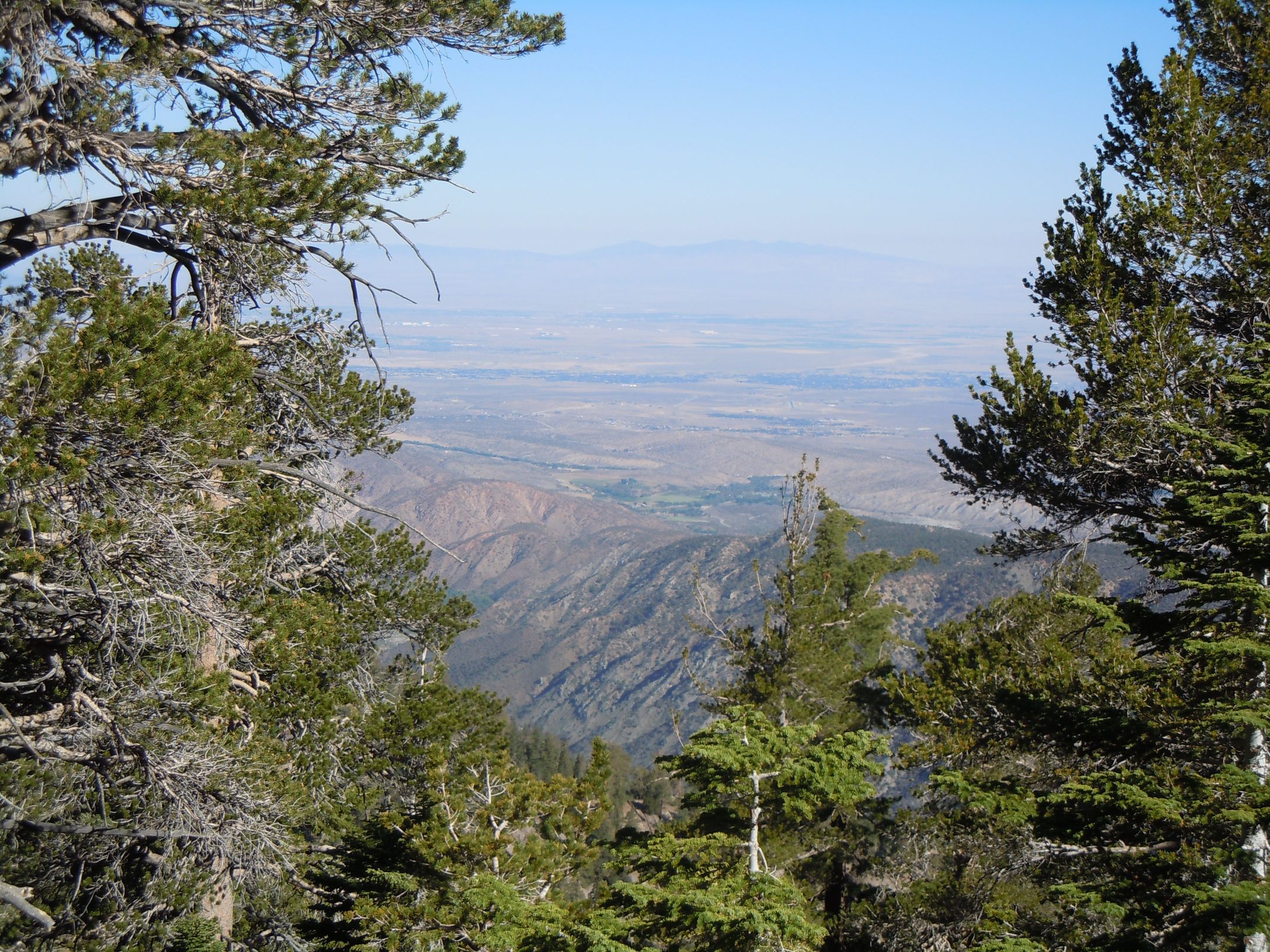
As you gain all that elevation the trees will begin to thin out. The views into the deserts to the north will slowly begin to grow.
After 45 or so switchbacks later you will reach the Baden Powell Saddle. The views from this location are incredible and your first views of the north side of the range will begin to appear
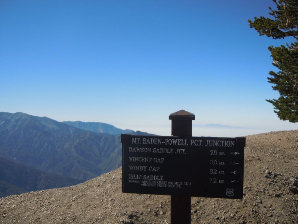
Just before the summit there’s a sign detailing the locations that are further down the Pacific Crest trail. On the list of destinations is Windy Gap which is a trail you can read about here.
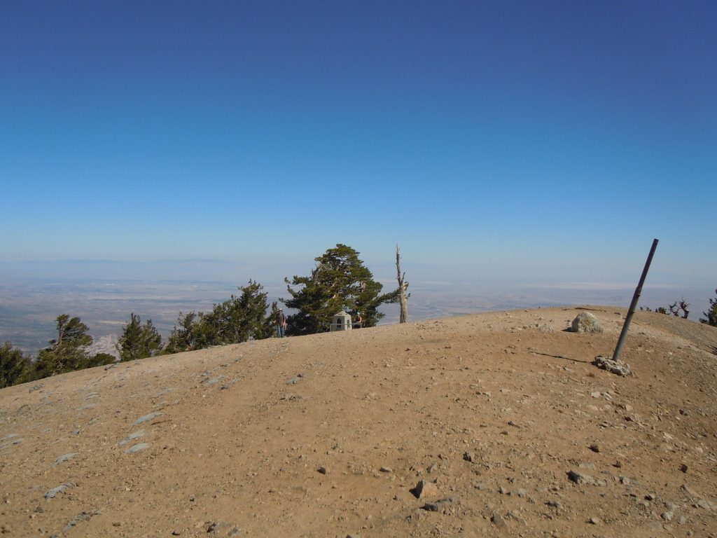
about 1/4 mile after the PCT/ Baden Powell junction is the summit. There’s a large obelisk commemorating/ memorializing the founder of the Boy Scouts of America, Lord Baden Powell. It can be seen way in the background of the photo above
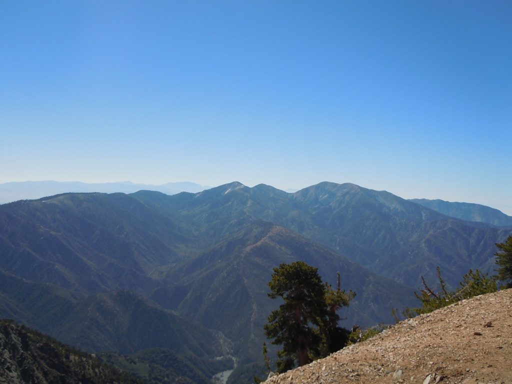
Mt. Baden Powell’s prominence from the peaks around it is on full display. Combine that with the few trees on the summit, and the 360* views are limitless in all directions.
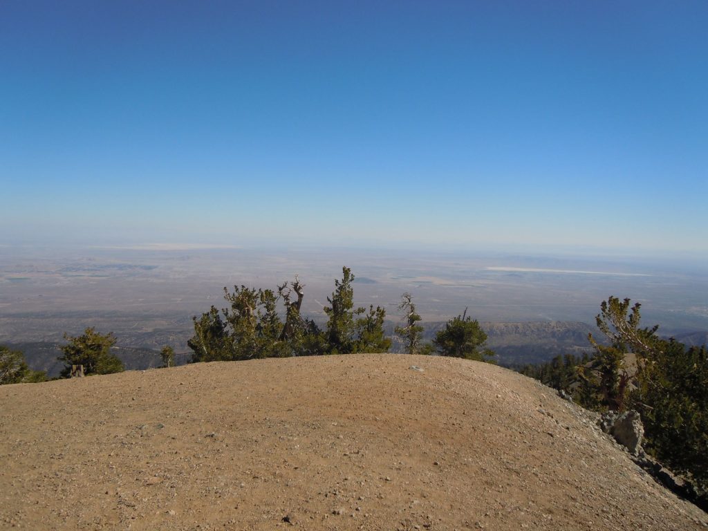
Looking north toward the desert communities. On a clear day you can see the Sierra Mountain range.
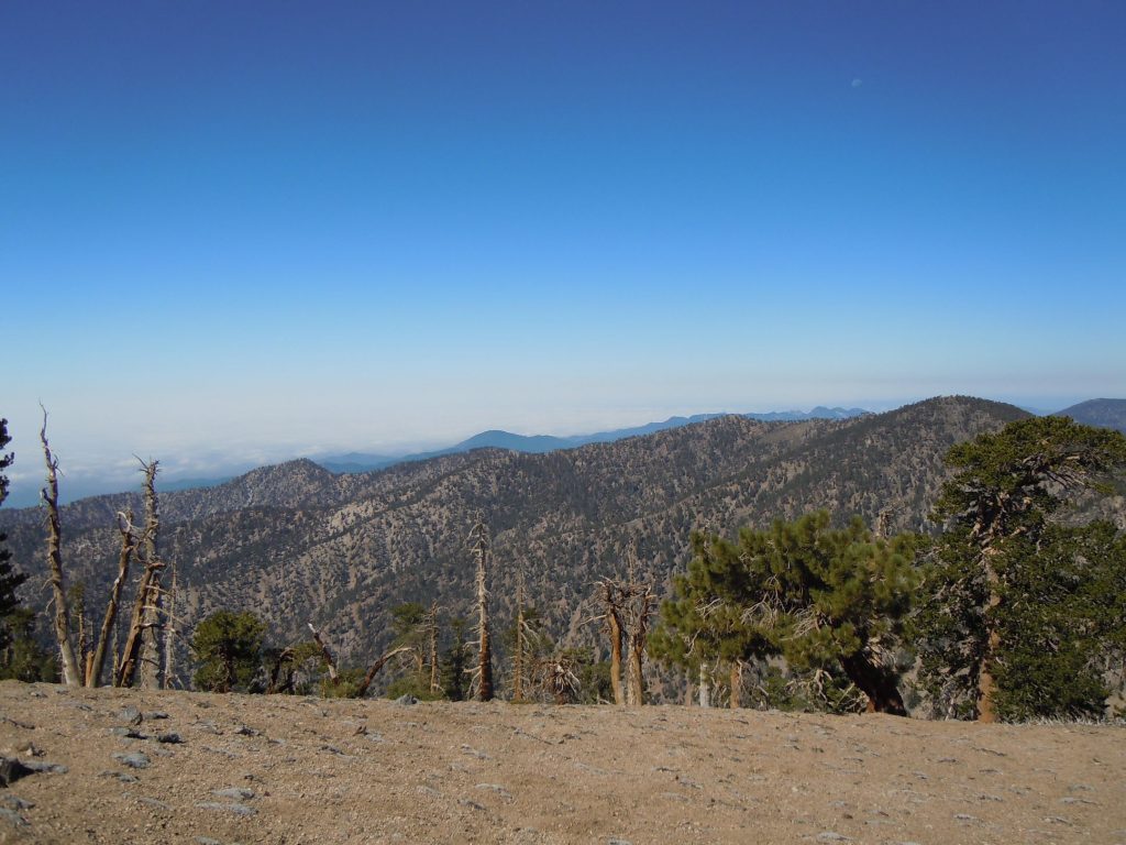
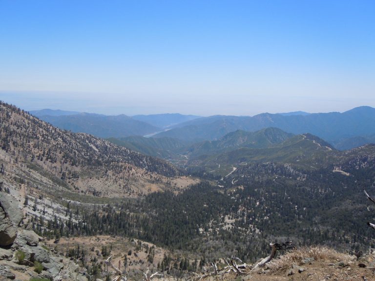
Looking back to the South West you can see all the different layers and ranges of the San Gabriel Mountain range.
Conclusion
Mt. Baden Powell is a challenging and rewarding hike. The trail strikes a good balance of being popular yet isolated. It is well worth a try on a late spring or fall day when the weather is not too hot and the snow is gone.

