5 Mile walk around Bonelli Park
Want to combine a great breakfast with a relatively leisurely 5 mile walk around Bonelli Park? This is the route for you!
Table of Contents
Trail Description
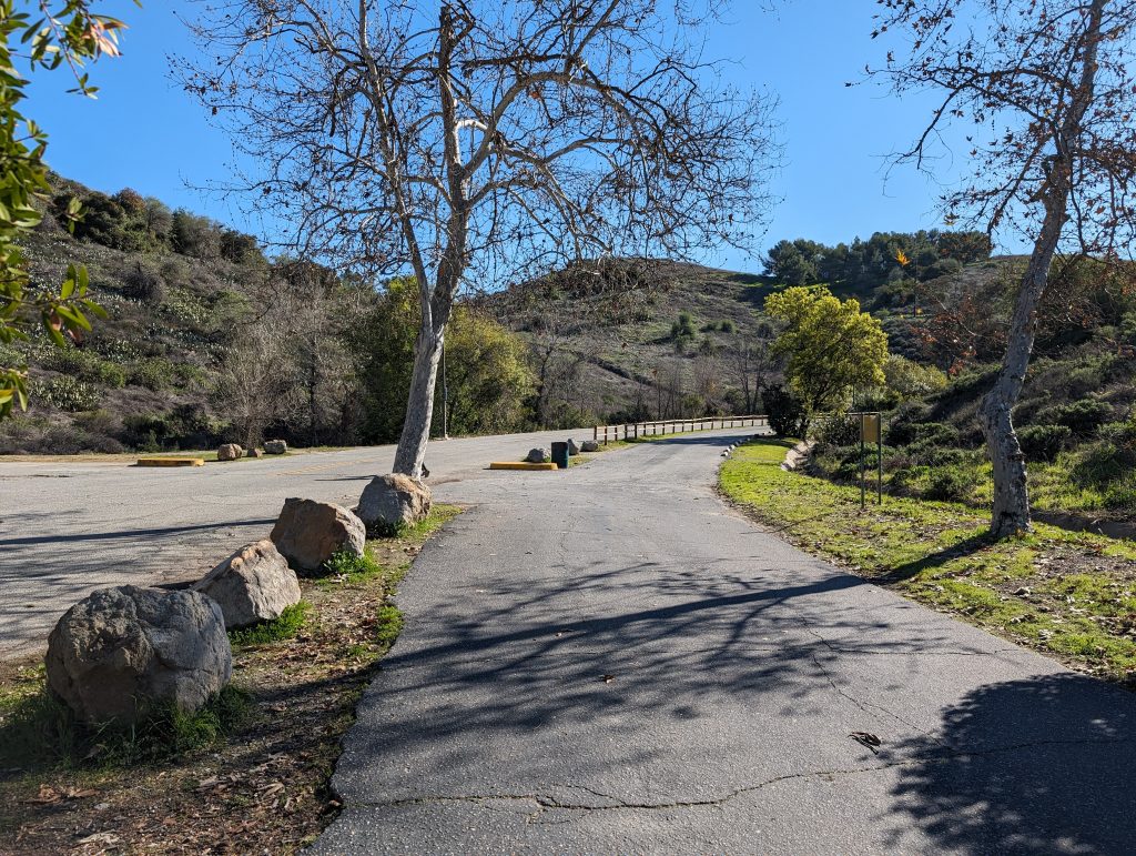
This is a popular and at times very busy route but there is ample parking in the parking lot on McKinley Avenue near Brackett Airport. In the event that the parking lot is full, you can park on along the street as well. There is a lot to do on this route and you can combine the walk with any number of activities such as bird/ animal watching, fishing, plane spotting, swimming (in the summer at a specific area) or even just having breakfast at the hangar cafe. The route can also be expanded to include going all the way around Puddingstone Lake, or incorporate any of the Bonelli Park trail with it.
Directions to the Trailhead
The parking area for the Bonelli Park walk can be found at this Google Maps link. It’s located on the south side of Brackett Airport. You can also follow directions to Norms Airport Cafe since they share the same parking lot. It is on a maintained road and is in a generally safe secure area.
Trip Report
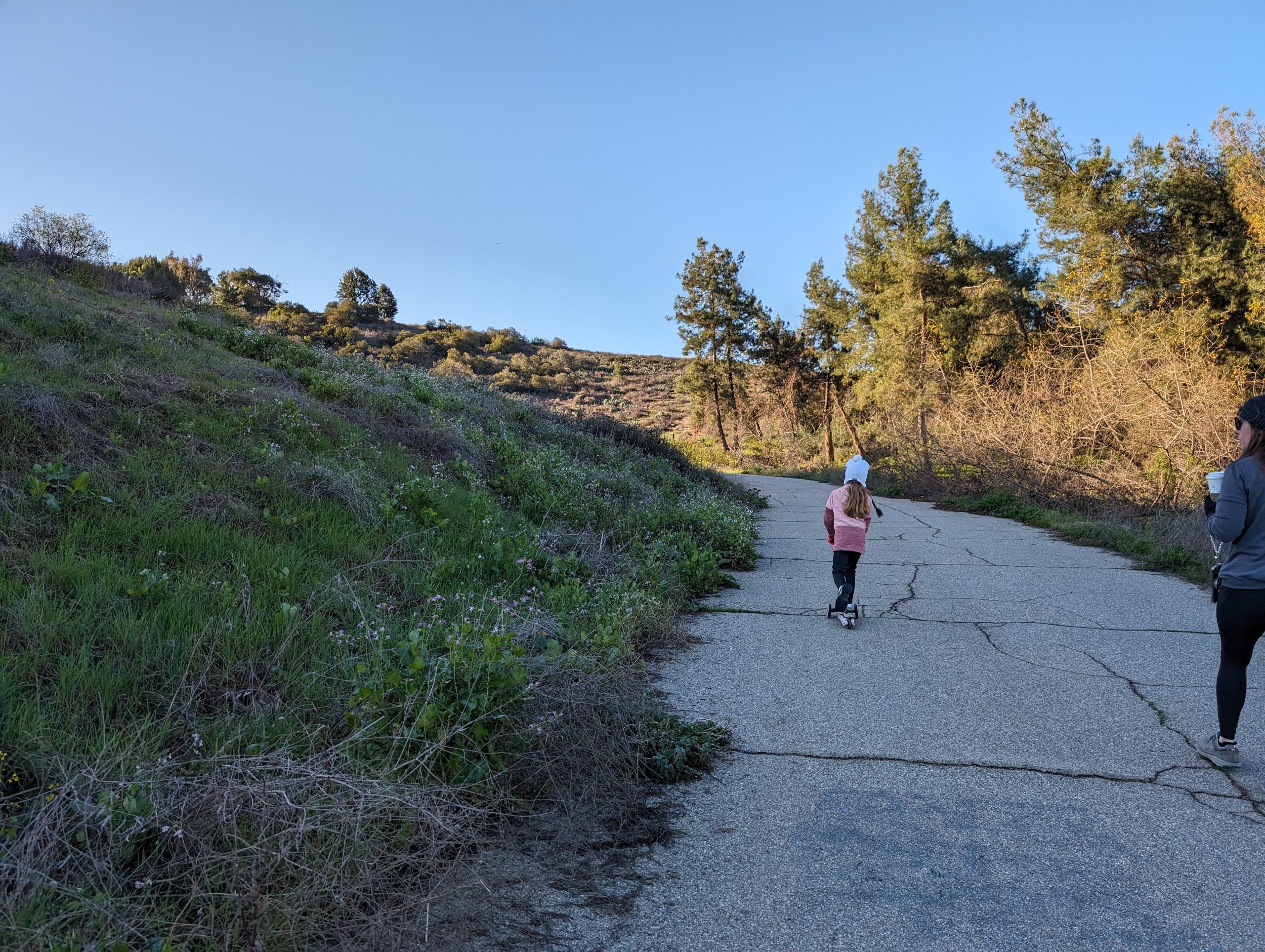
Completely forgot to take photos of the parking lot area and the gate that you go through but it’s pretty self explanatory to get started on the walk. From the parking lot, continue walking to the west, same direction you were just driving to get to the parking lot.
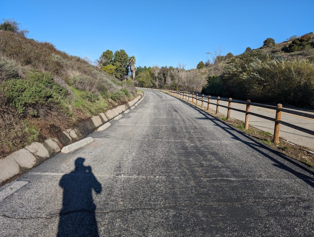
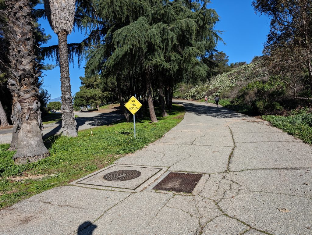
After about 1/2 of a mile, you will come to the gate that is the edge of the Bonelli Bluffs Trailer park. go around the gate and continue to follow the paved road. There is a dirt trail that follows the fence. That will be a path for a different time.
Continue to follow the road through the park, you will quickly pass by the maintenance area on the left which will indicate you’re on the correct road. Continue straight at any intersections you come to, and the road will gently curve around to the right. You will soon encounter some tent camping areas on the left side of the road. See if you can see any flat spots to put out a tent, we sure couldn’t!
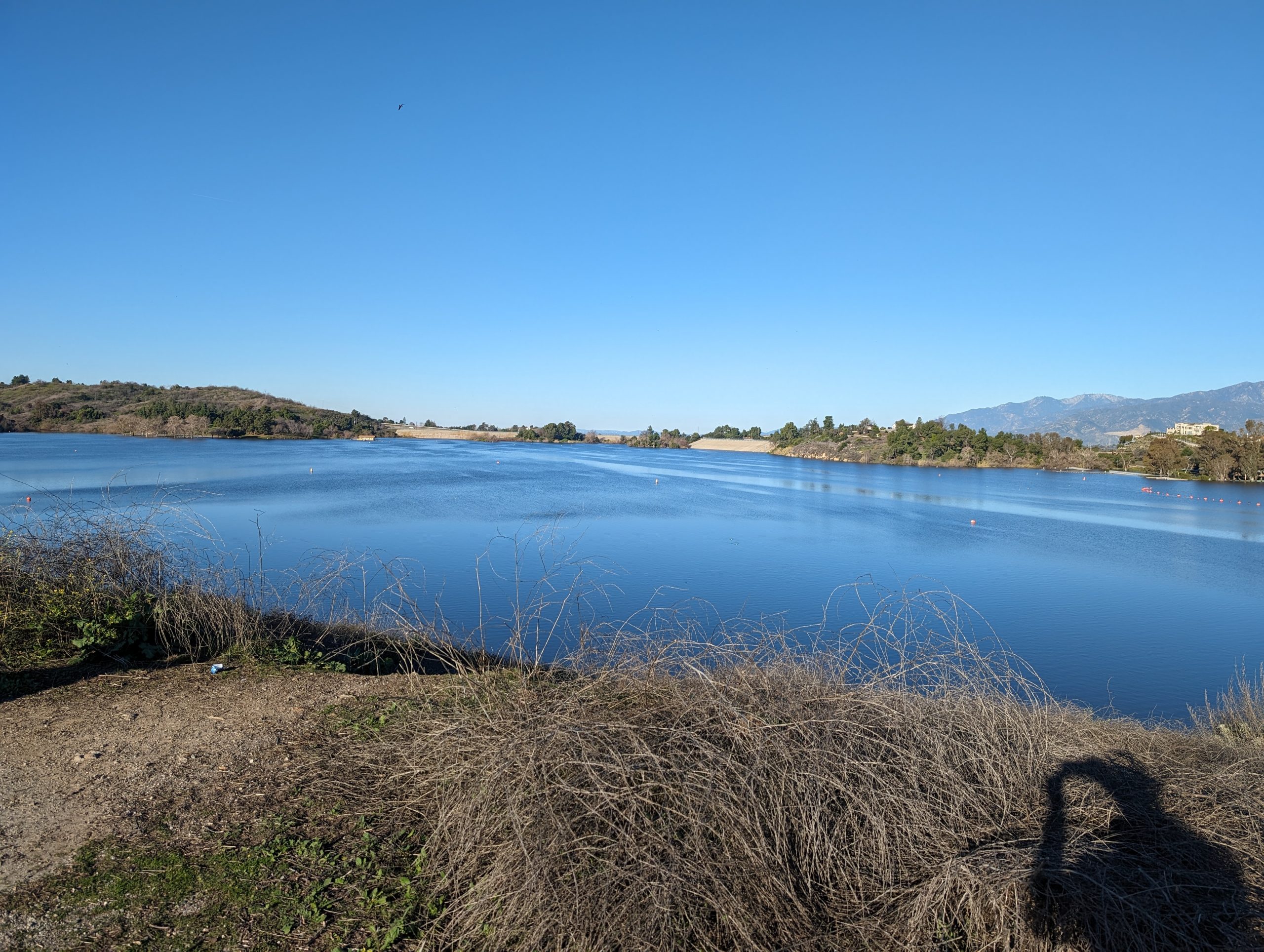
As you wind through the Bonelli Bluffs park, you get your first view of Puddingstone reservoir. As you come along side the inlet bay you will come to another gate (again failed on the photo). Go through the gate, and the road will gently begin to rise and curve to the left. You will wind back to the right and then encounter the only significant elevation gain of the climb. Even that is stretching it as the climb is only about 50′ (15m).
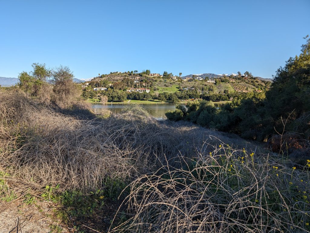
As you come around the corner to the top of the climb, you get a view of Puddingstone Estates, the north shore day use area and can see the power boat launch ramp.

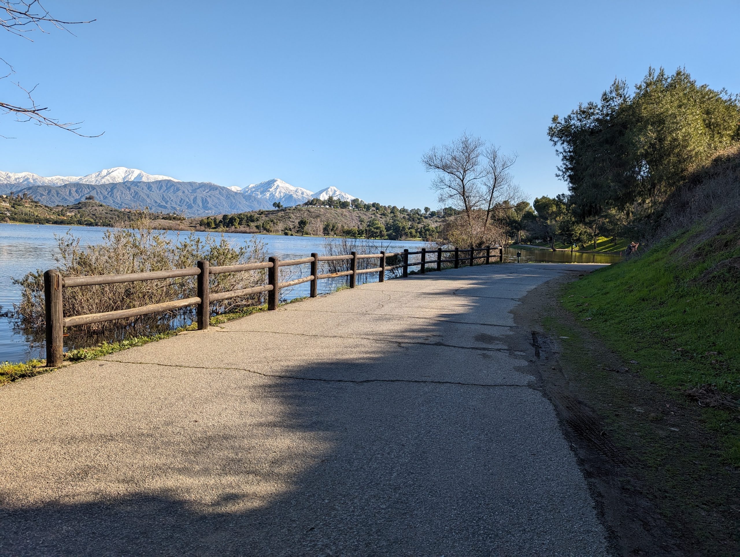
From the top of the hill there is a view of nearly the entire Puddingstone Reservoir and beyond. Looking southwest you can see the swim beach and the lifeguard towers t). Just to the left of the swim beach is where we will rejoin the lakeside trail (at the far end of the lake in the photo on the left).
Continue on the road going down the hill, on your right you’ll notice a gentle down slope that leads to the lake. Historically there’s been good bass fishing there in between the trees. after you reach the bottom of the grade you’ll pass the east shore picnic area and your first restroom opportunity. Keep going straight and the road will dead end into Fisherman’s drive. From here you can either go right or left, as it is the beginning of a loop where you will return to this point. We chose to go left to that we could have the scenic lake walk as we return to this point.
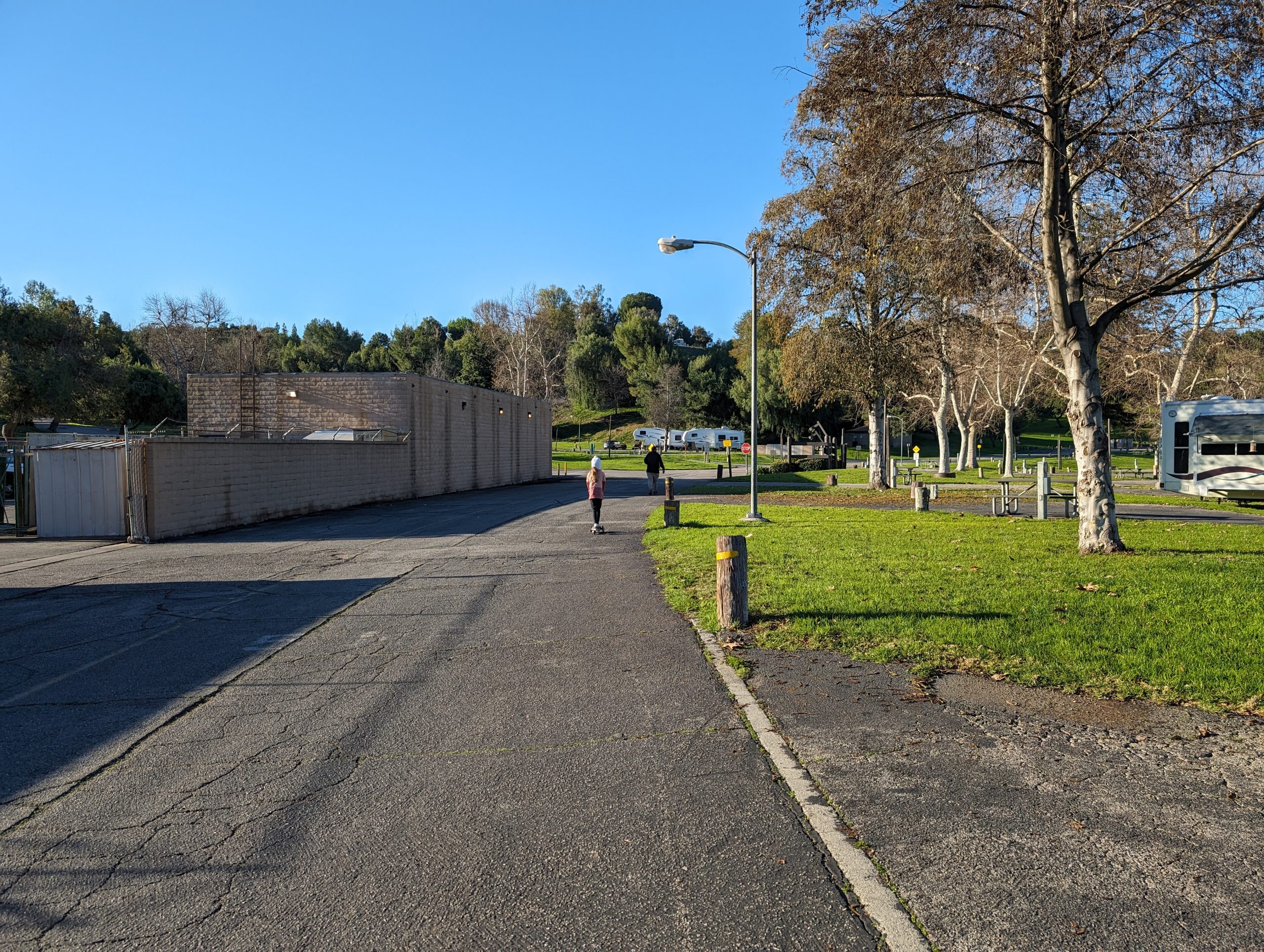
After you make the left turn, you may notice what used to be additional parking for the recreation area. This was sectioned off to make this protected area for walking/ running/ biking and is a welcome upgrade from how it used to be with no sidewalks.
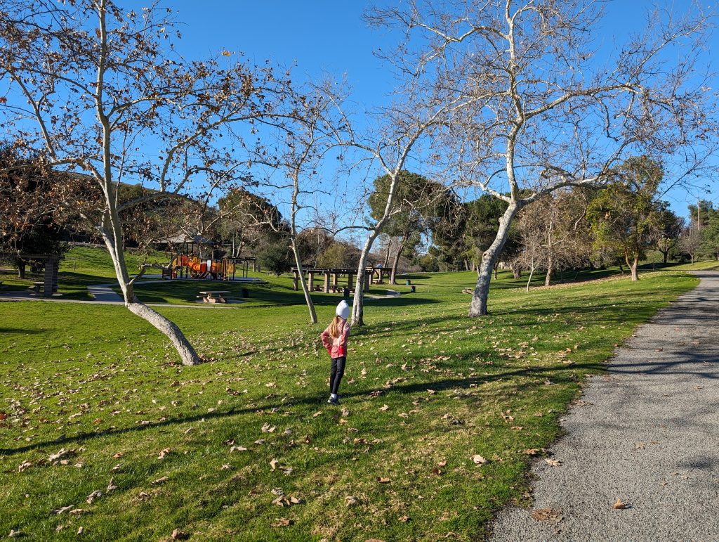
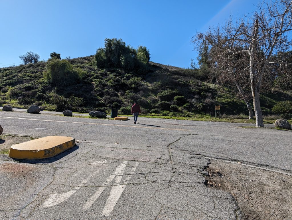
As you follow the road around the corner, you will begin to encounter the day use areas of Bonelli Park. there are many small areas that have playground equipment as well as shade shelters and picnic benches. The path in this area gently ascends and decends some very small hills, and is generally enjoyable. Even in the summer months there are sufficient trees to allow for shelter from the sun.
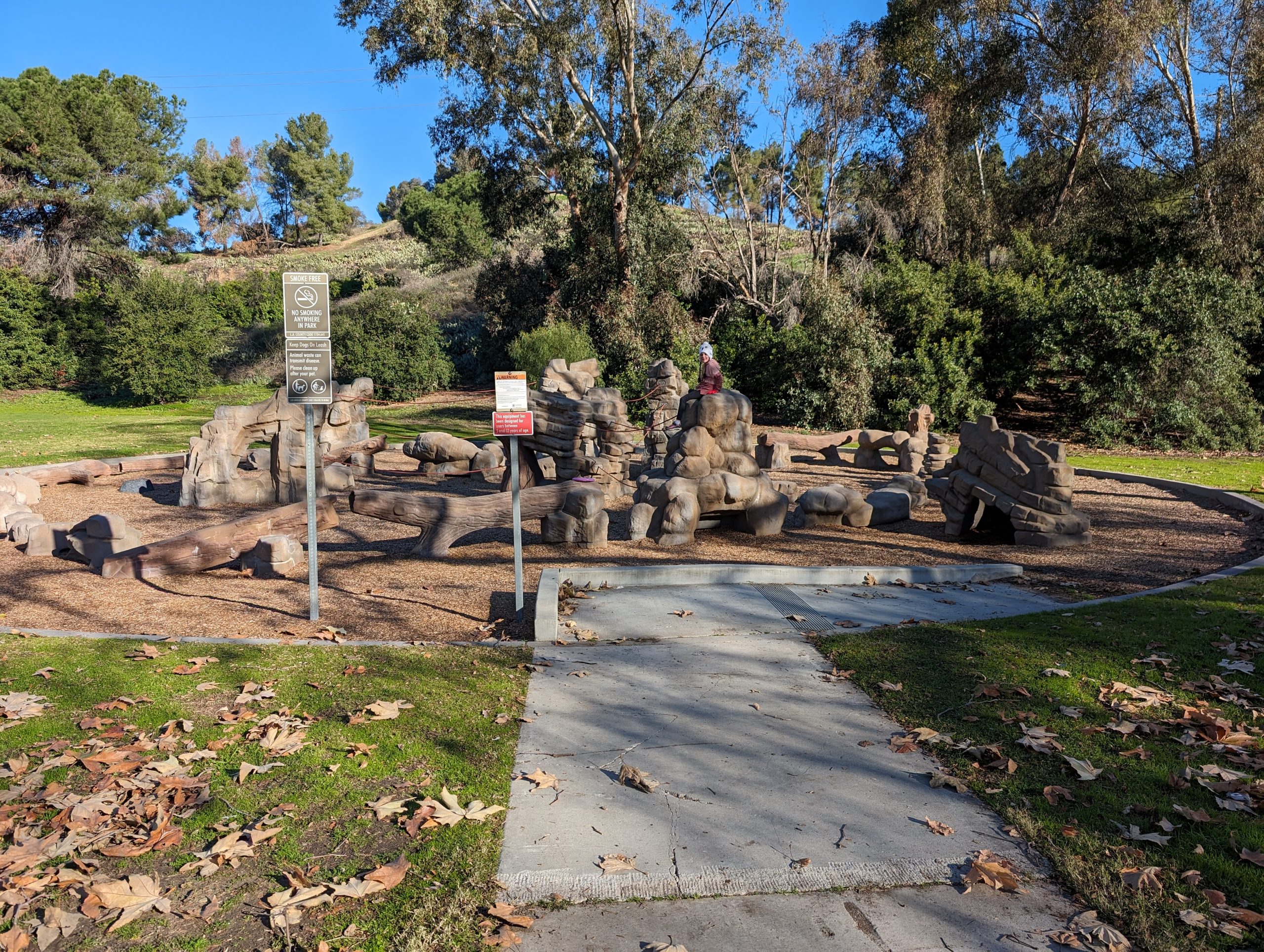
About half way through the walk, there’s an area with some interesting playground equipment. It is essentially a small rock climbing/ agility park. Very popular with the 7 year old crowd.
As you are walking the path will turn back towards the north and the parking lot will dead end. Prior to the ending of the parking lot watch for a bridge on the right hand side. You will want to cross this bridge, failing to do so will cause a much longer walk all the way around the lake (which is still enjoyable, but adds several miles to the route). Just past the bridge you will be able to see the swim beach across the inlet.
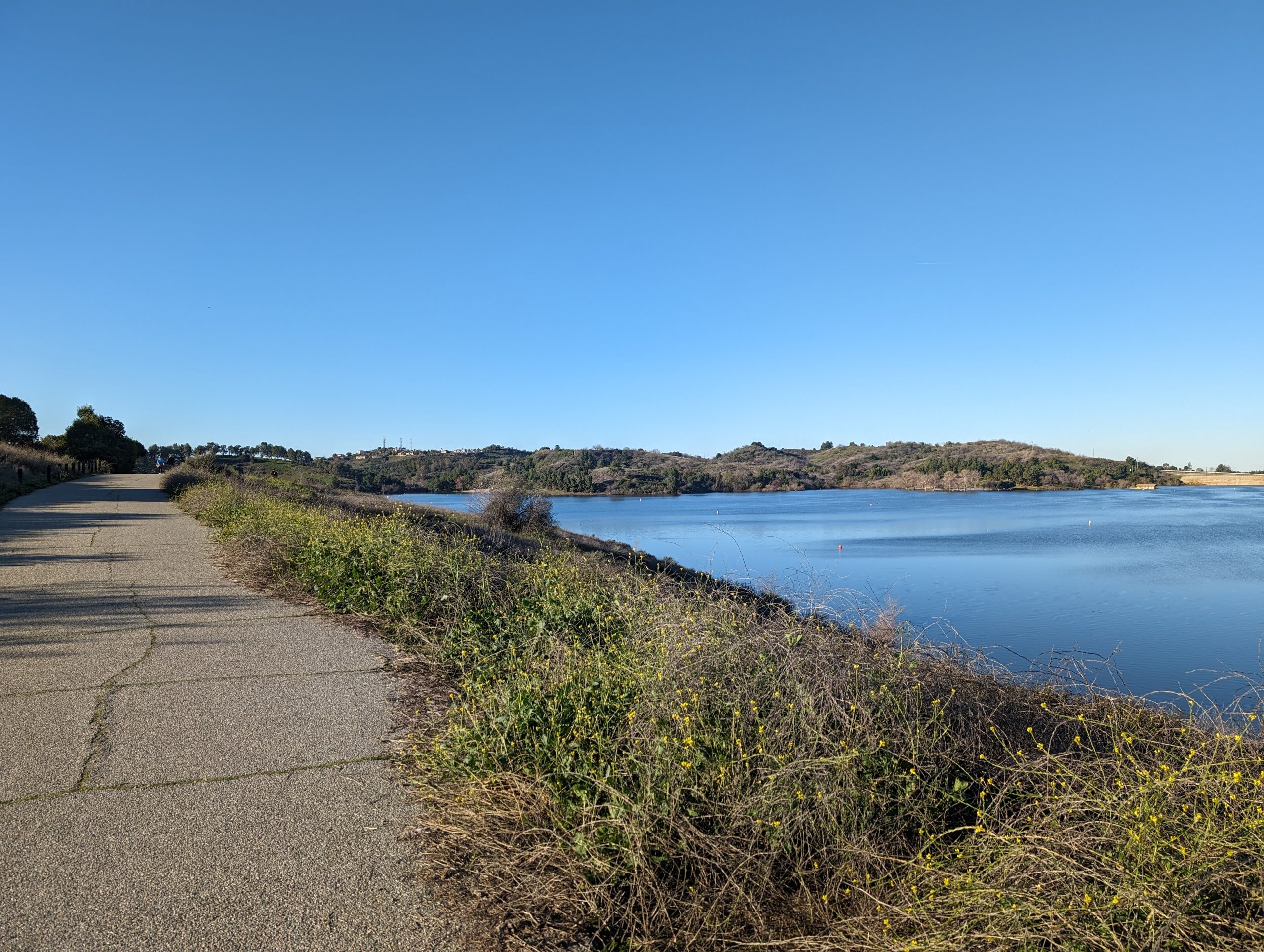
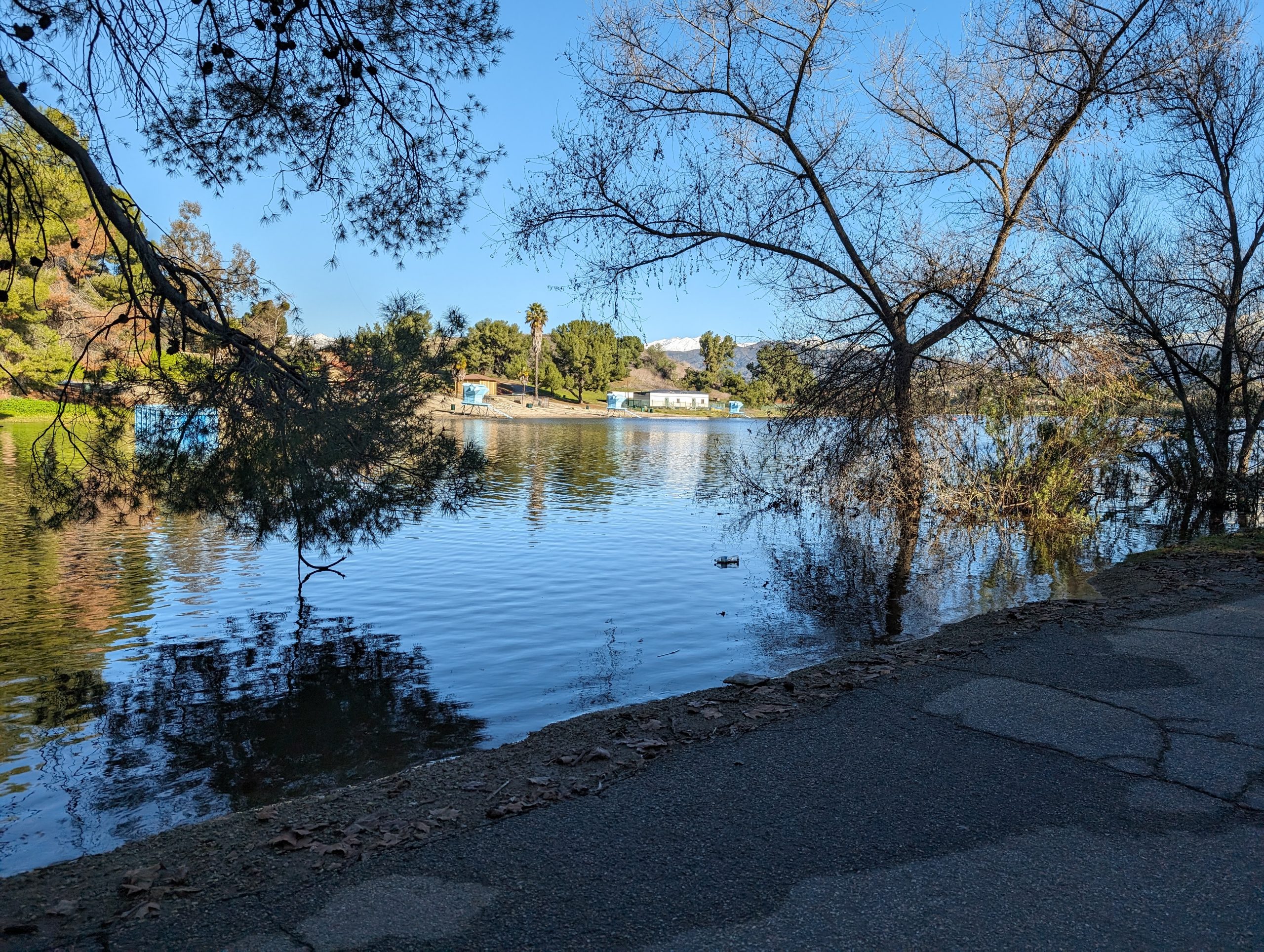
The trail will continue to follow the lake shore. In February 2024 when this report was written the lake was at the highest level we’ve ever seen. This is a another popular fishing area along the north shore of the lake.
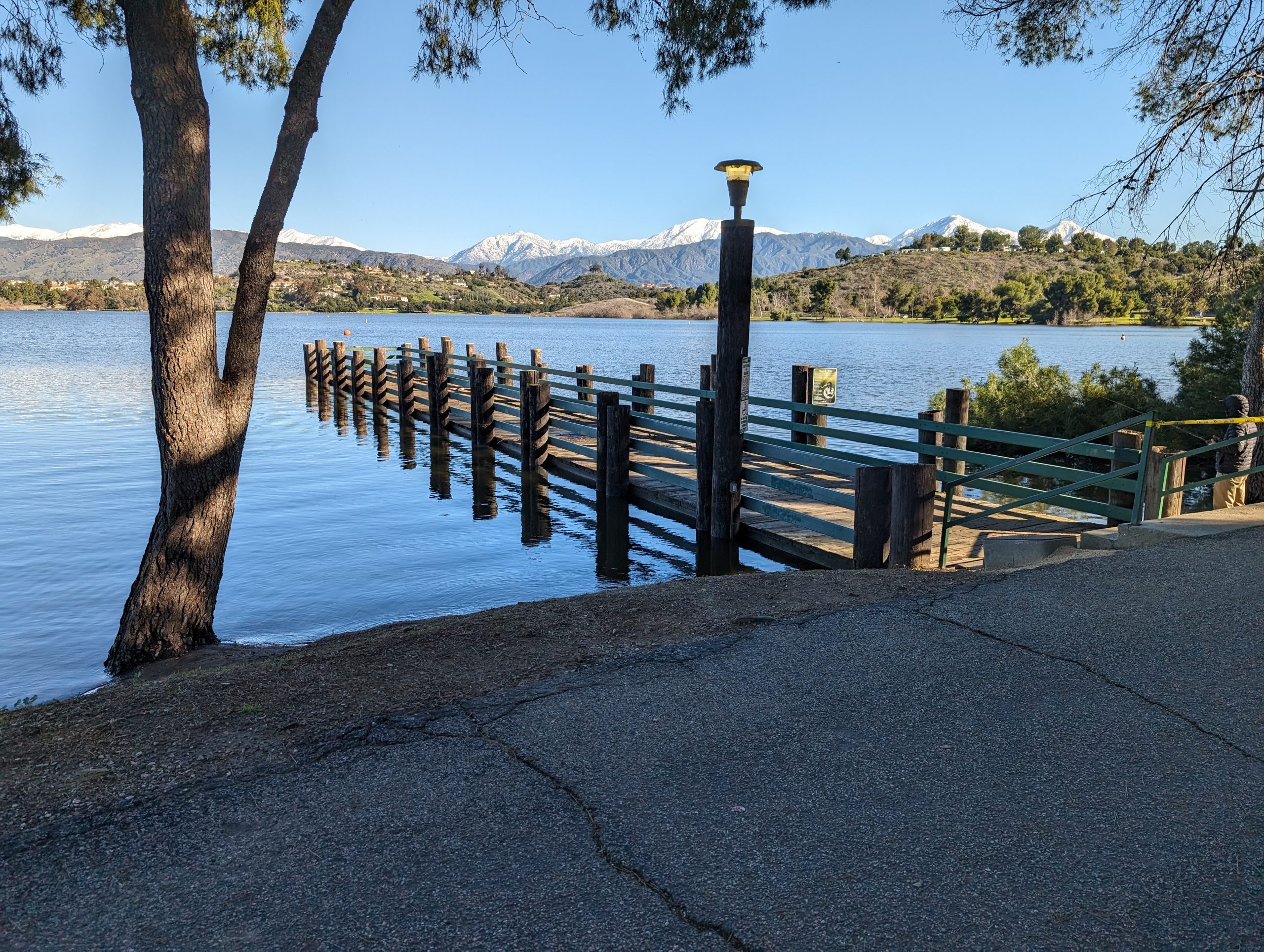
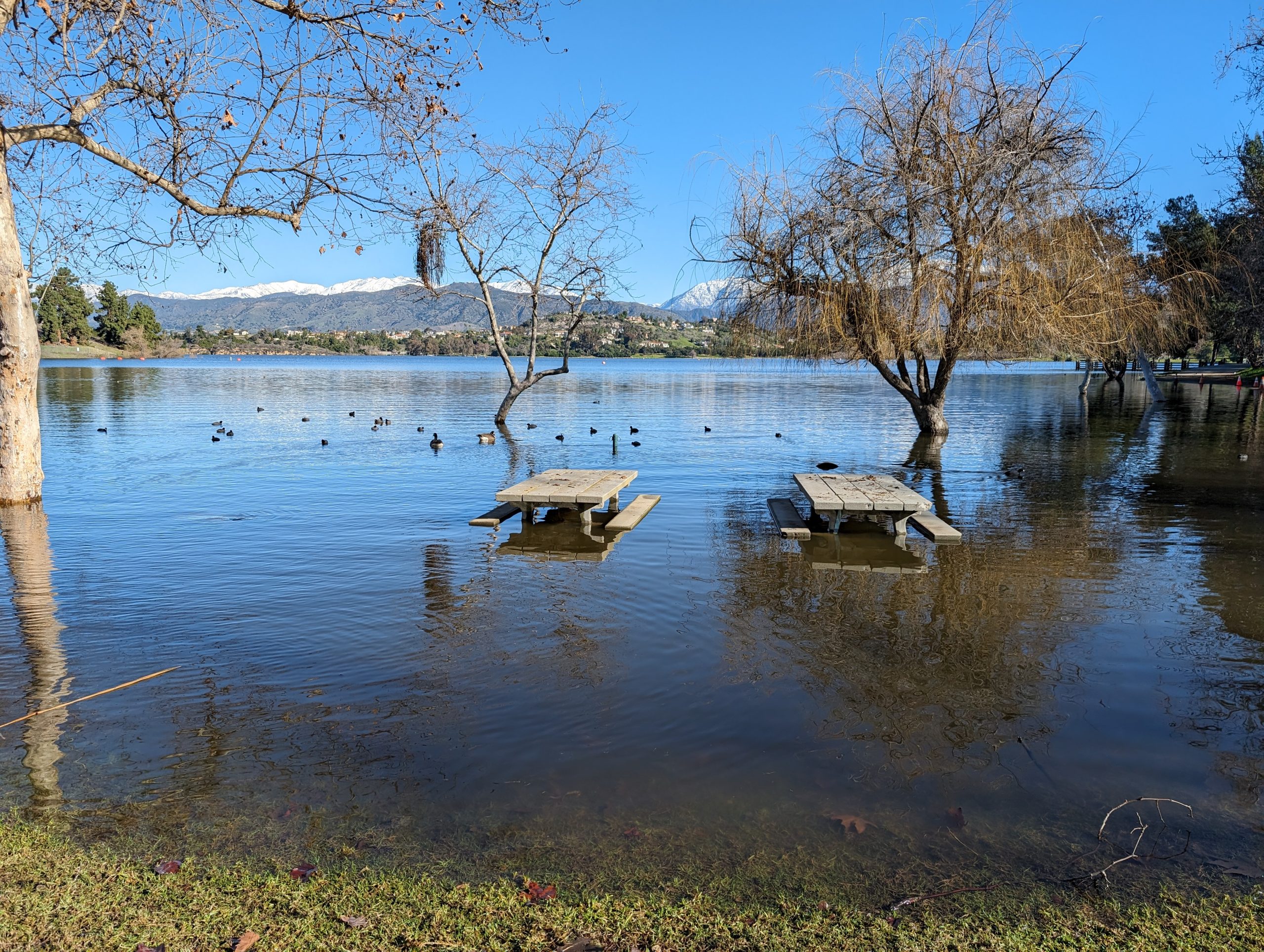
Normally there’s at least a couple of feet between the bottom of the pier and the water. At this time the water was touching the bottom of the pier and it was closed to access. The waterfowl were definitely enjoying the water level though as there were many many ducks and geese floating around.
Within another 1/3 mile of the pier you will arrive back at the intersection where we made the original left turn.
Be sure to take the access road to the right and not the parking lot road to the left. This will keep you on the gradual incline of the road, and not stay in the lower parking lot. There’s no harm in taking the lower road, just causes a bit more of a climb to get back to the upper road.
From this point you’ll return to the starting point on the same track that you came in on.
Conclusion
This 5 mile walk around Bonelli Park is great for several different reasons.
- Easy to access with good parking and a paved route
- There’s plenty of rest spots to take breaks as needed
- There’s plenty of restrooms available as well as water fountains
- Wildlife is plentiful and diverse, whether it be shorebirds/ waterfowl or animals such as rabbits and squirrels (and the occasional snake)
- it is a popular route with minimal chance of getting disoriented/lost
- There are many many options to extend or customize the route.
If 5 miles is too much to walk for the younger ones in the group, this route is completely paved and is good for using scooters