Icehouse Canyon to Chapman Trail Loop
Table of Contents
Trail Summary
Icehouse Canyon trail is a VERY popular and moderately challenging trail located above Mt. Baldy Village. Combining the trip up Icehouse Canyon trail and a return down Chapman trail entails about 8.5 miles of trail with around 2,600′ of elevation gain (and then loss). It tops out at 7,600′ of elevation. It can be hot in the summer and snowy/ icy during the winter. Utilizing the Chapman trail to return adds about a mile compared to heading directly back down Icehouse canyon trail. Also the Chapman trail is much less used and there are a couple of places where you have to go over/ under fallen trees and washed out sections of the trail.
There is water available along parts of the trail. The first mile of the route follows Icehouse Creek and then Columbine spring can be found just before heading up the switch backs at around the 2 mile mark. There is also a spring below Kelly camp on the Chapman trail.
This trail also serves as the primary access point to Ontario and Cucamonga Peaks, as well as the Three T’s trail that will eventually lead to the Mt. Baldy Notch.
Getting to the Icehouse Canyon Trailhead
The Icehouse Canyon trailhead is located just off of Mt. Baldy Road. Here’s a google map pin.
To get there take the 210 freeway and exit Baseline Ave. Turn west onto Baseline and then at the first signal go north (Right) onto Padua avenue. Continue north on Padua for 1.8 miles until reaching Mt. Baldy Road. Turn East (Right) onto Mt. Baldy road and continue 8.8 miles to the Icehouse Canyon Parking lot.
Be aware that an Adventure pass is required to park in this area and the parking lot generally fills before 7am due to the popularity of the trail. If the parking lot is full there is plenty of street parking although it can add up to a mile to your hike depending on when you arrive.
Route and Elevation Map (CalTopo)
If you haven’t used CalTopo before Click here for a useful guide.
Trail Photos and Description
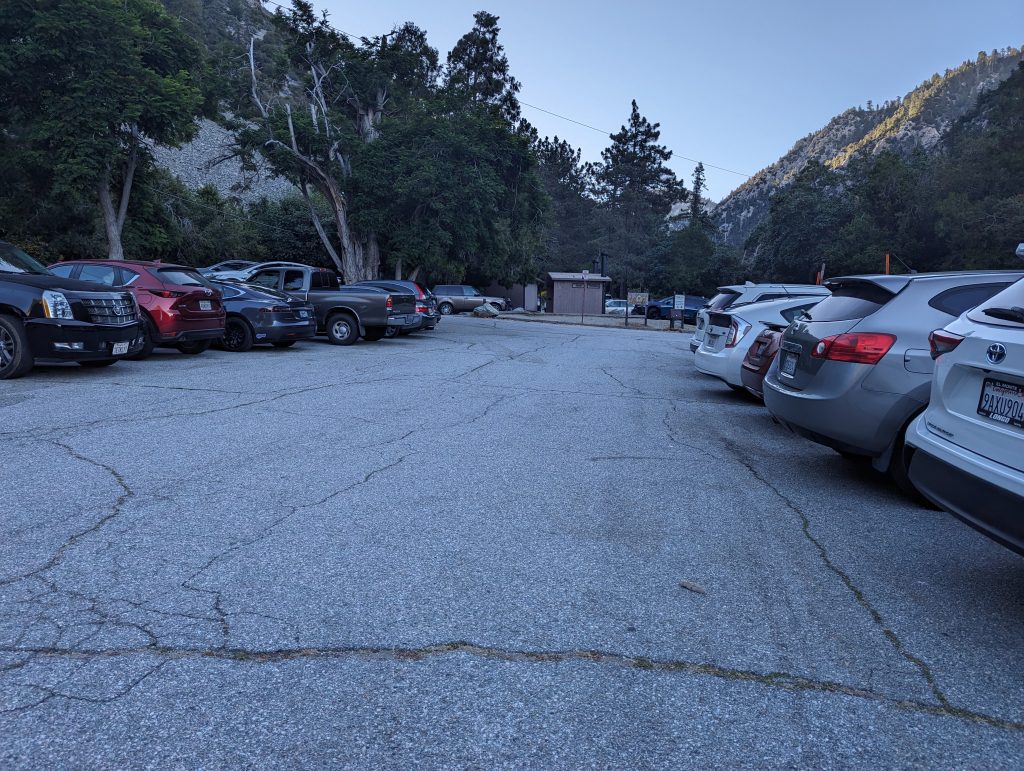
This is an extremely popular trail. The small parking lot holds about 40 vehicles and will consistently fill up before 6:30am. There is plenty of parking along Mt. Baldy road, but you might expect to park up to 1/2 mile away from the trailhead. There is a pit toilet restroom at the trailhead, but it is excessively used and can be quite disgusting at times because of it.
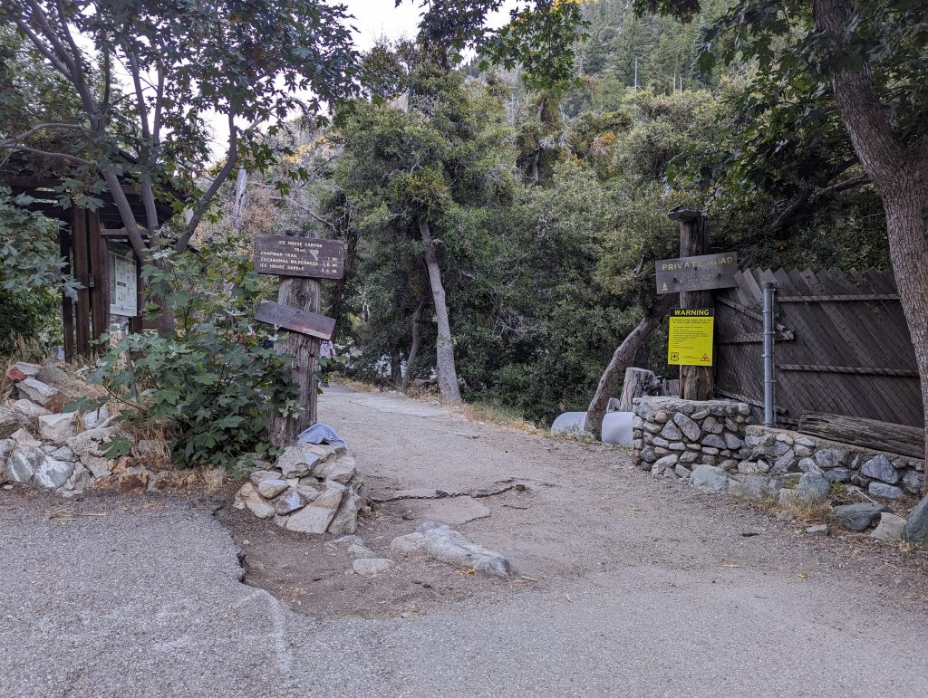
The trailhead is at the end of the parking lot. There are walk in cabins along the route and therefore the first part of the trail is actually a road leading to the private parking lot for these cabins.
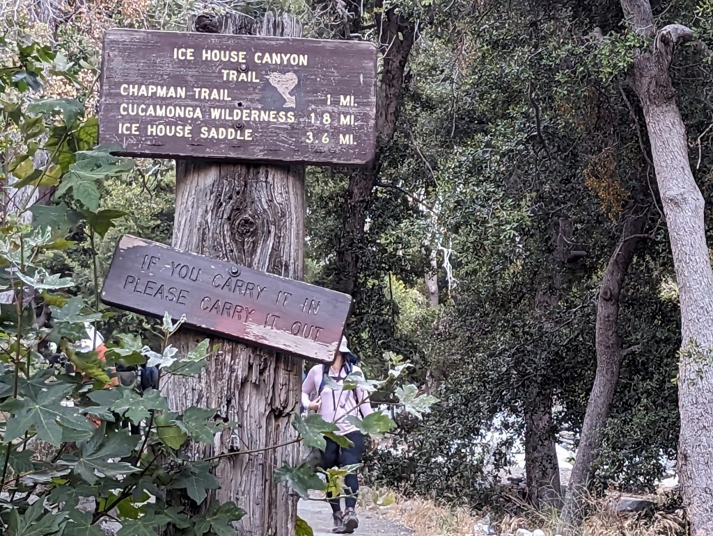
The trail is well marked and clearly defined. The most popular destination is Ice House Saddle which is 3.6 miles from the trailhead.
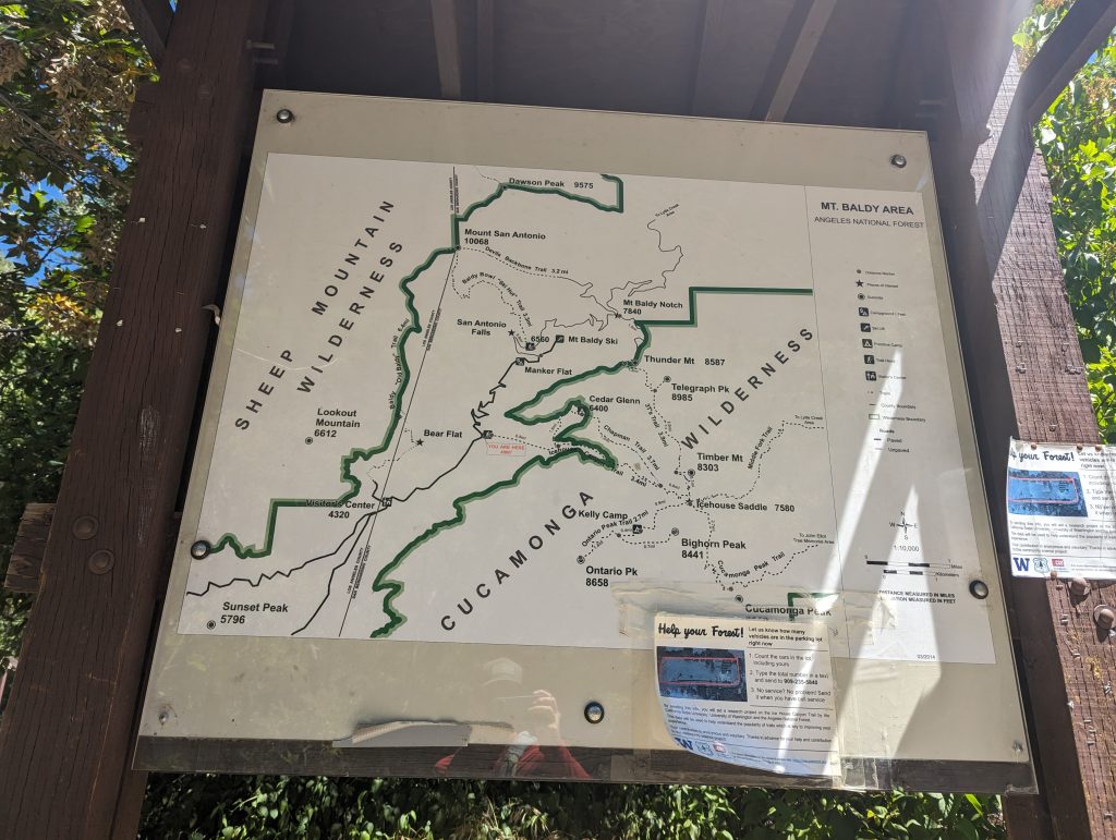
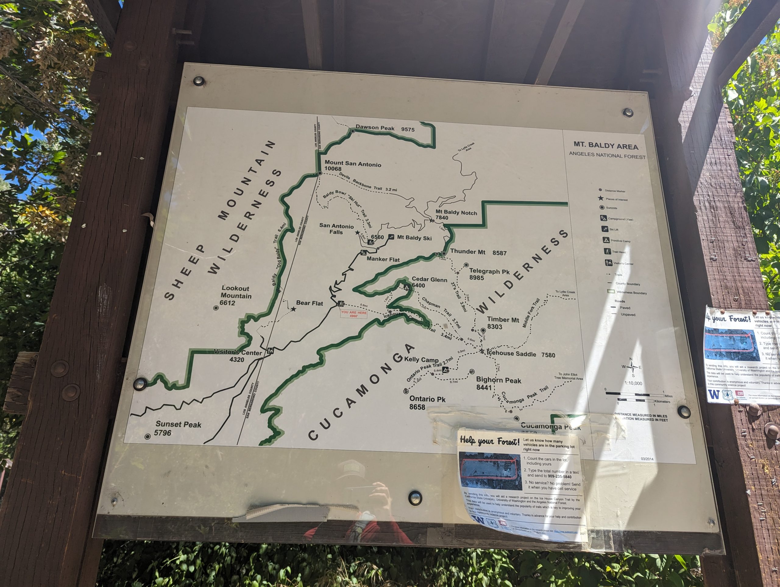
At the trailhead there is a decent map showing the trails in the area and some relative elevations. This trail is also popular with overnight backpackers. There are several trail camps in the area that are accessible by this trail such as Cedar Grove (Chapman Trail), Kelly camp (Ontario Peak Trail) and Comanche Camp (Middle Fork Trail).
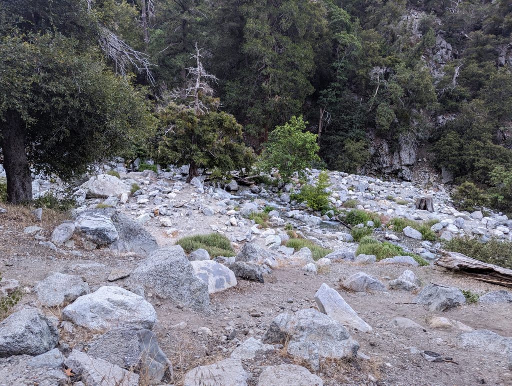
The beginning of the trail is a flat dirt road, but then quickly turns into a rocky path. Because of the heavy use, the trail is easy to follow but the footing is uneven at times.
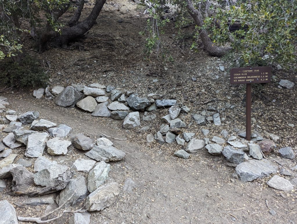
At this sign post is the lower intersection with the Chapman trail. This is where on the way back we will rejoin the Icehouse Canyon Trail.
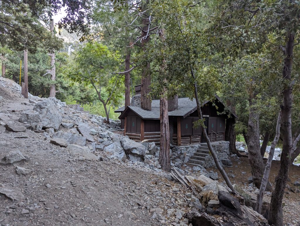
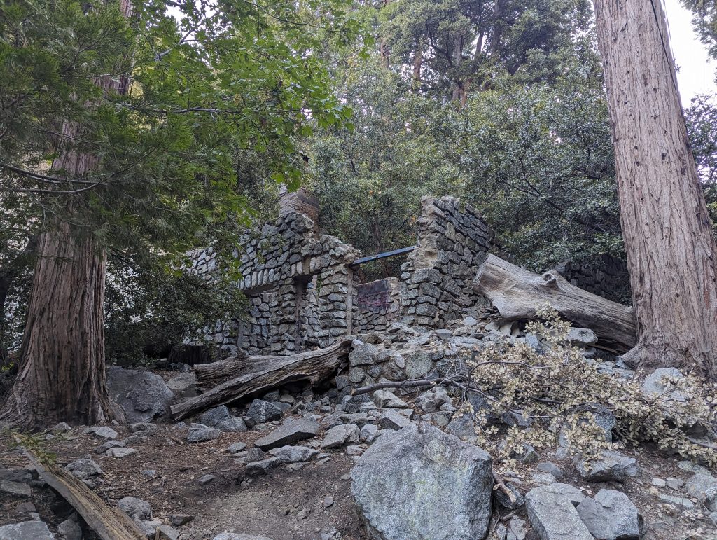
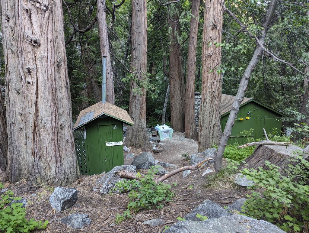
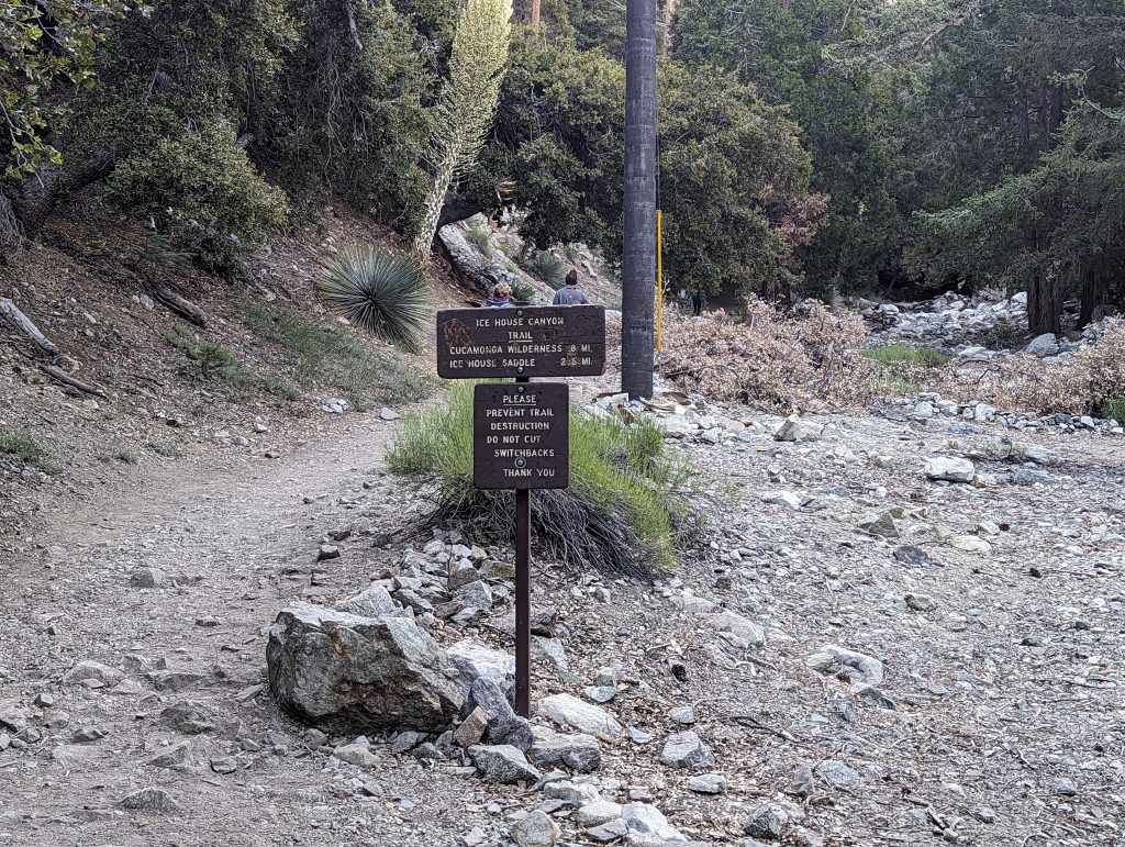
During the first mile and a half or so there are several cabins lining the stream. There’s also many more foundations and chimneys from where cabins used to be. At one time there were over 100 cabins in the area, most of which have been lost to history.
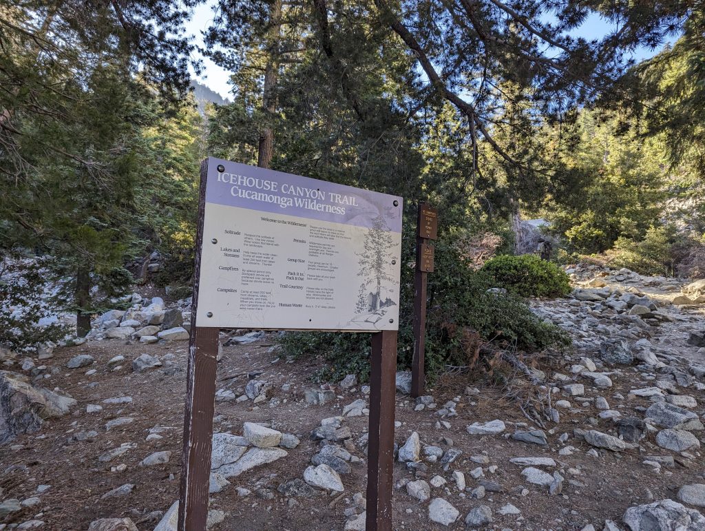
Around 1.75 miles the trail enters the Cucamonga wilderness. A free wilderness permit is required even for day hikes within the Cucamonga wilderness area, but we doubt that many comply with this requirement.
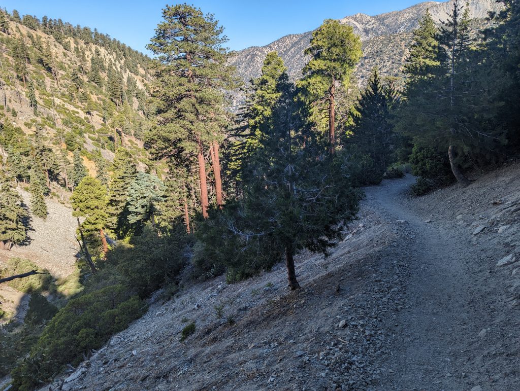
After entering the Cucamonga Wilderness the trail begins to ascend the canyon wall. This is the beginning of the “difficult” part of the trail. There are no switchbacks yet..just steady elevation gain.
Failed to take a photo of it, but as you approach the first set of switchbacks, Columbine spring is just off the trail. This will be the last reliable water source for this route until reaching Kelly Camp on the Chapman trail.
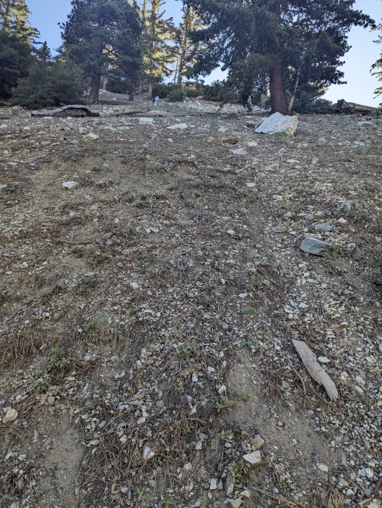
This image is looking up the switchbacks, you can see the elevation gain here as the hikers on the swtich back above already look small and distant.
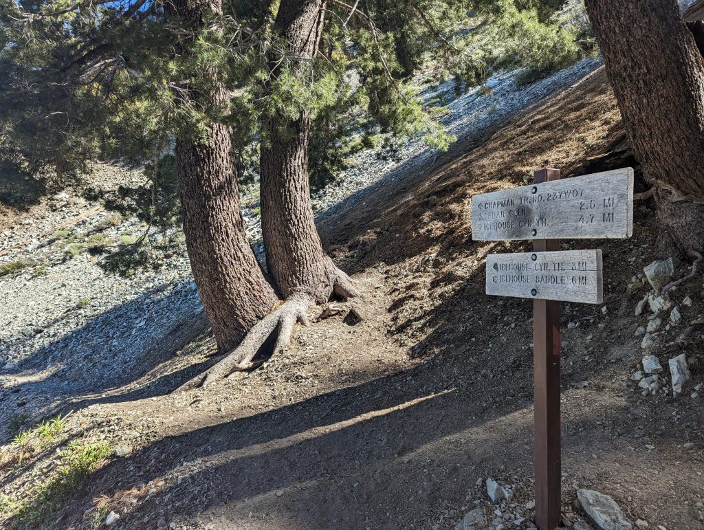
As you reach the last switchback around the 3 mile mark you will find the sign for the upper intersection with the Chapman Trail. Continue to the right for the additional .6 miles to first arrive at the summit of Icehouse Saddle.
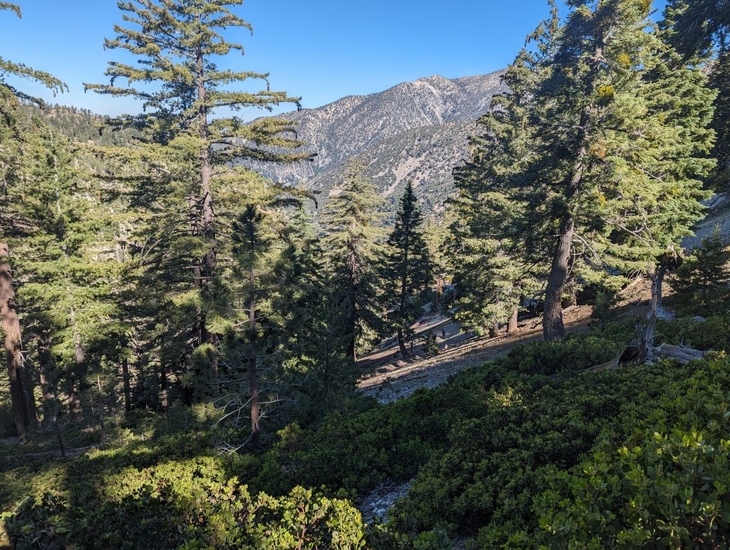
The last stretch from the Chapman trail intersection meanders through the forest and manzanita before reaching the apex of the saddle.
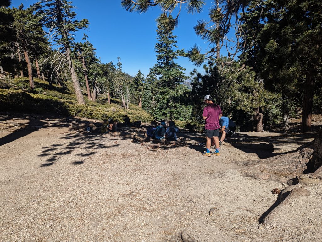
At the saddle there’s several downed trees and open areas to take rest and have a snack before starting the descent.
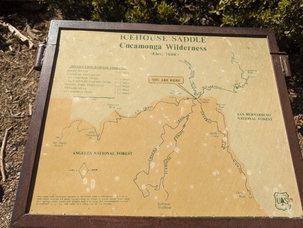
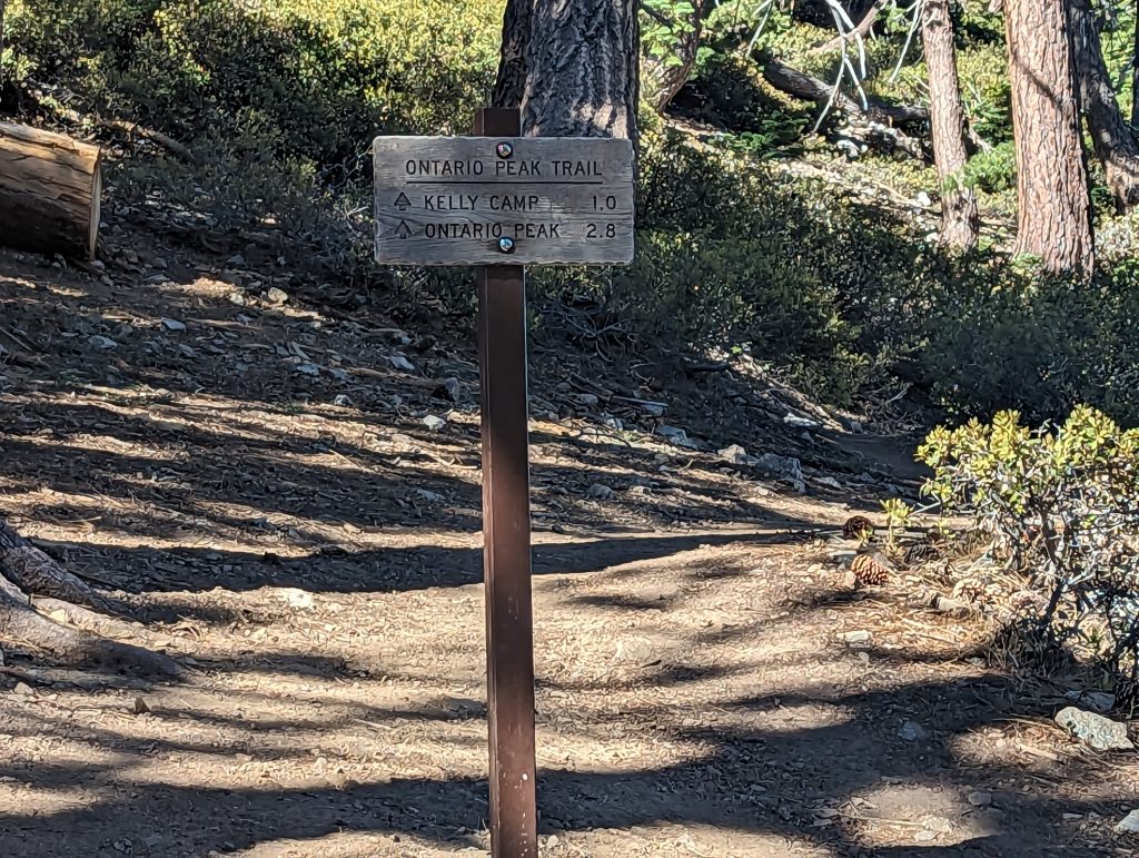
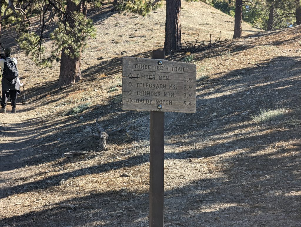
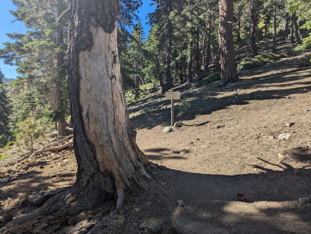
For those with a more adventurous spirit, the saddle is also the junction for 4 other trails. These lead to Cucamonga Peak (also including Middle fork Trail), Ontario Peak, and the three T’s of Timber, Thunder and Telegraph peaks.
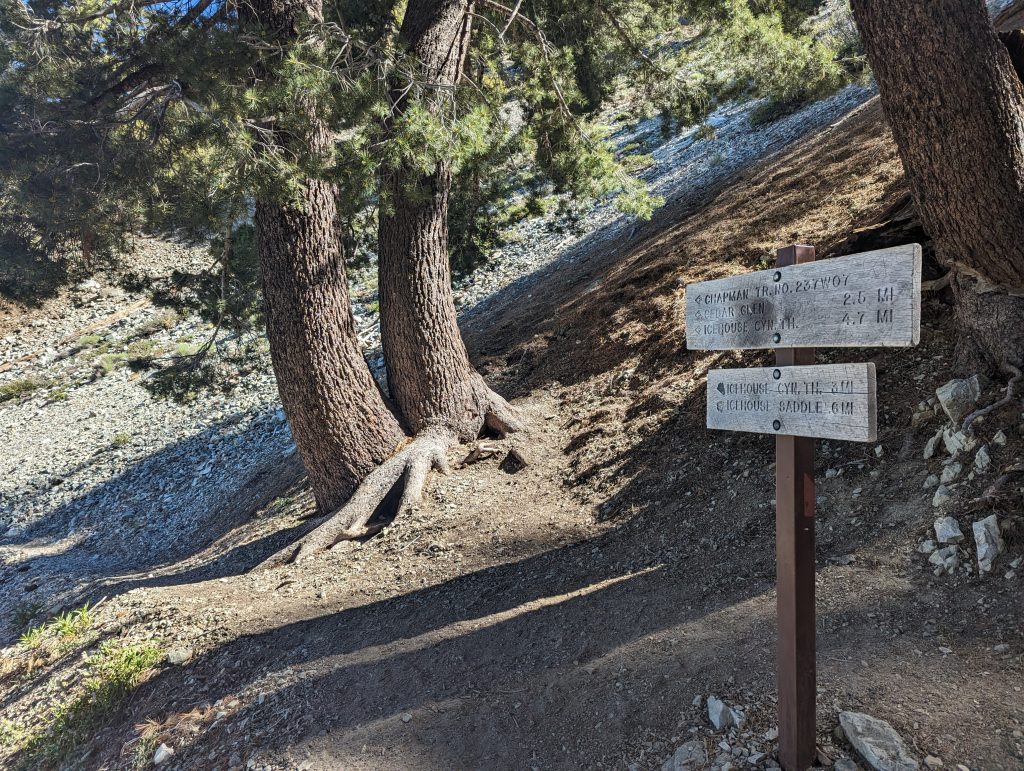
As you make the way back down the trail, instead of turning to go down the first set of switchbacks, go straight to continue on the Chapman trail. Going this way will add about 1.7 miles to the trip according to the sign.
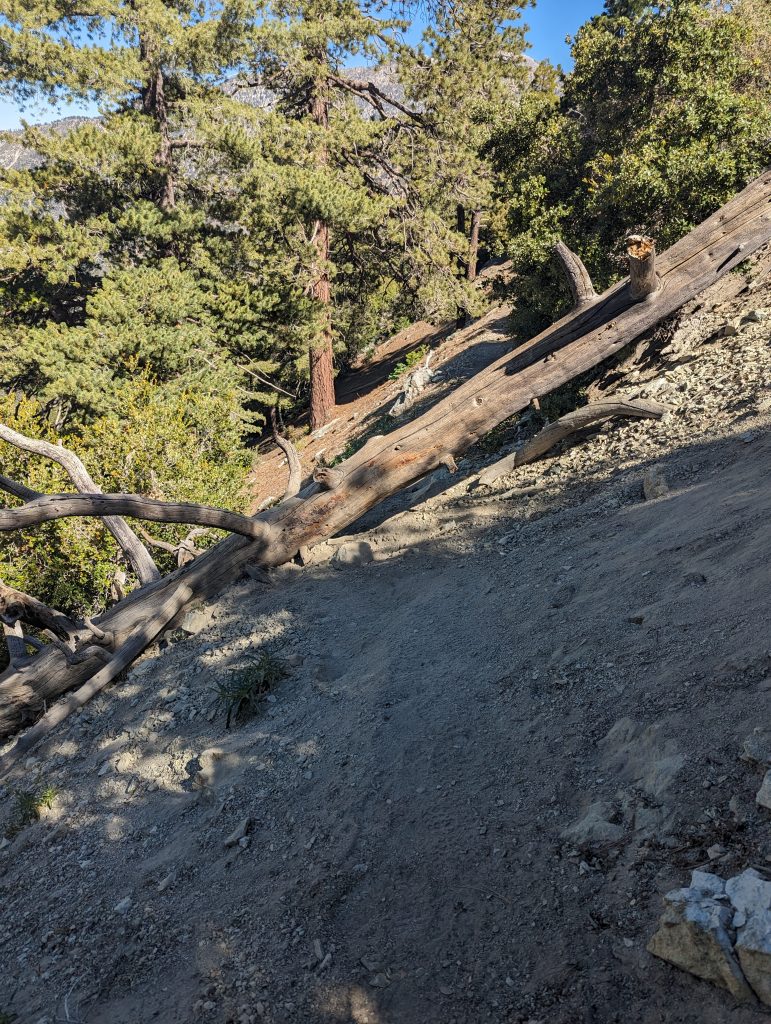
The Chapman trail is much less frequenly used and much more exposed than the Icehouse canyon trail. As of July 2023 there’s also at least 4 trees that have fallen across the trail that must be navigated. None are particularly difficult to conquer for the average person.
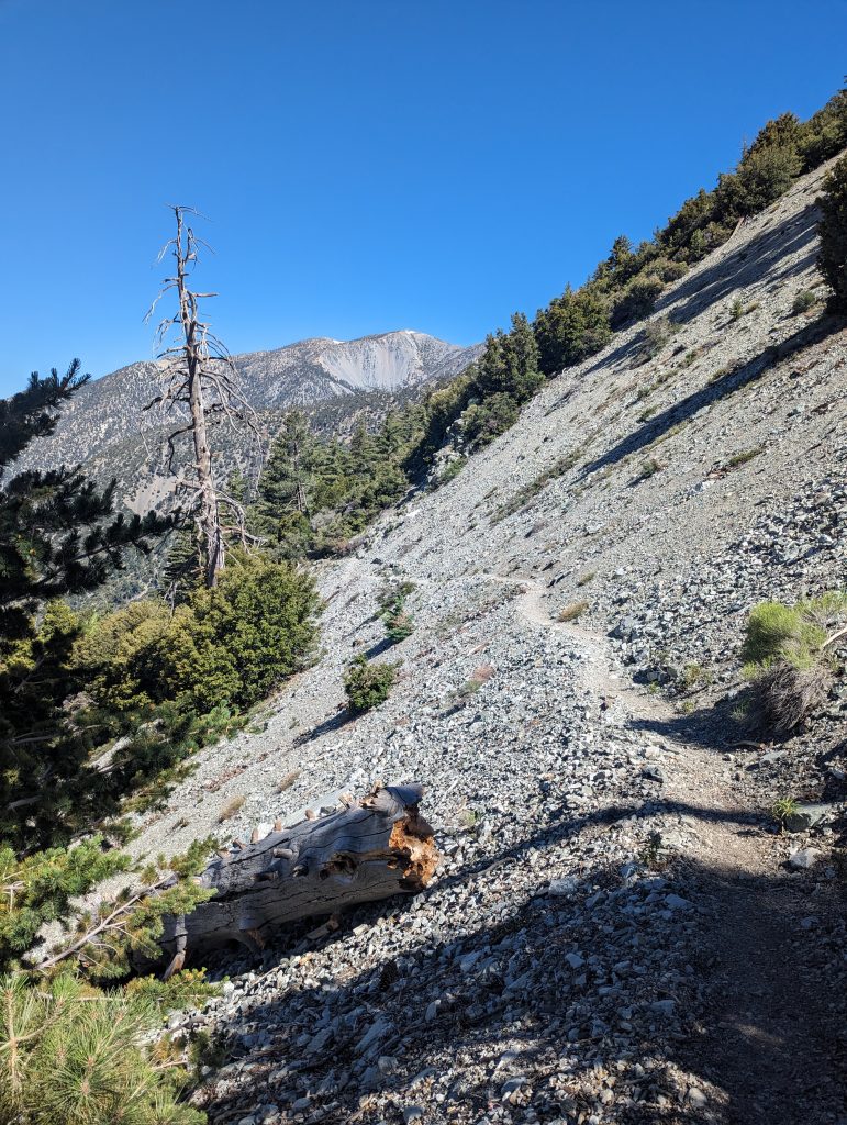
While the Icehouse trail quickly descends into the canyon, the Chapman trail skirts the side of the hill maintaining its elevation. There is little protection from the sun and as seen in the photo the trail can be quite narrow at times as well.
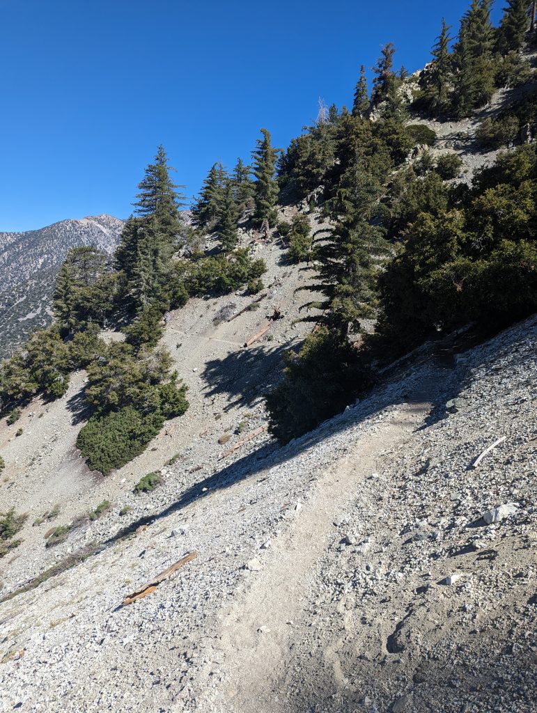
Another view of the trail with another downed tree coming around the corner.
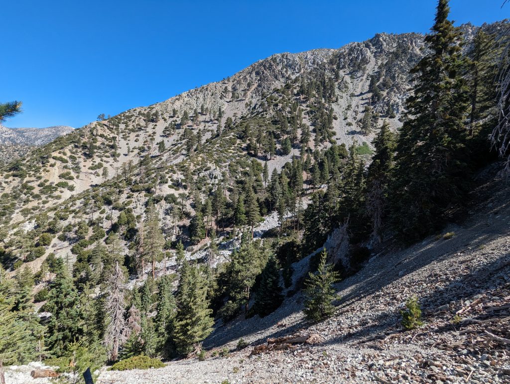
A benefit of the higher Chapman trail is the view. Many of the canyons and hillsides are visible due to being on the South west facing slopes where the trees tend to not be as plentiful.
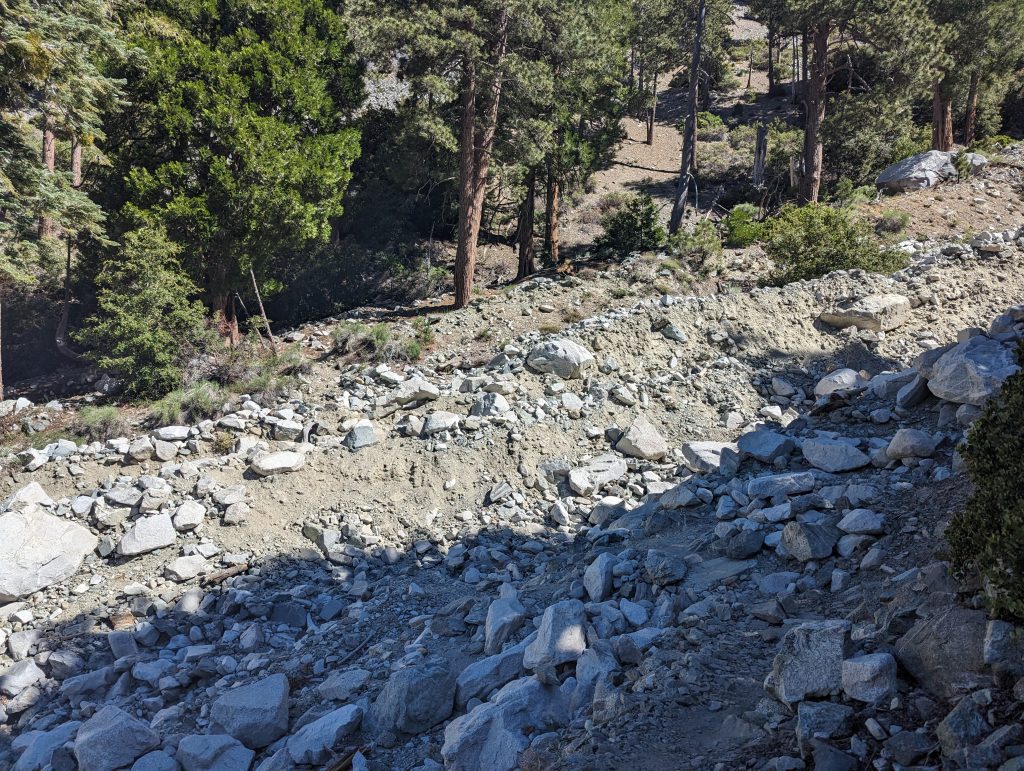
The trail crosses a Telegraph wash where there was a significant flood event. The trail no longer exists as it crosses the drainage, but it’s relatively easy to find on the other side.
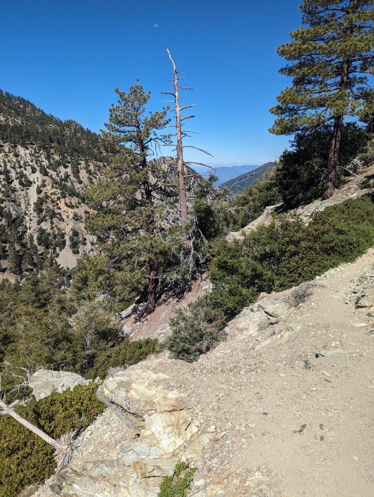
In between the valleys you can sneak a peek down to the San Gabriel Valley and civilization below.
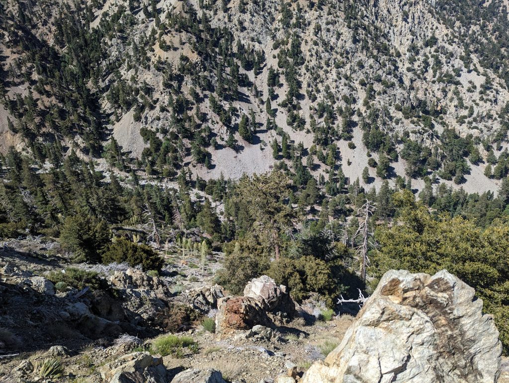
From parts of the trail, you can see the Icehouse canyon trail far down in the bottom of the valley below.
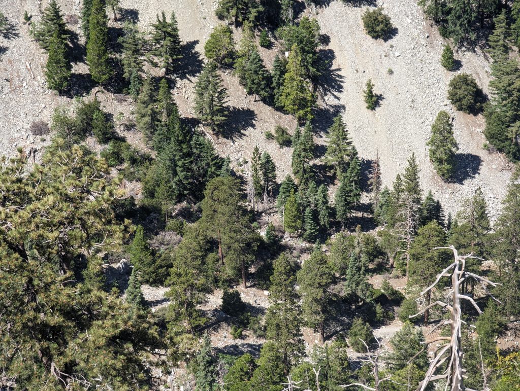
For some perspective, this image was taken from the same location as the one above. You can barely make out the hiker in the center of the picture near the bottom.
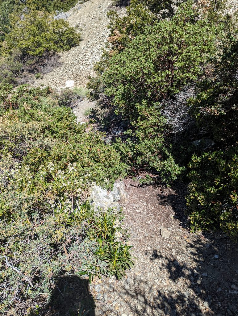
Portions of the trail are slightly overgrown as well. This can make a haven for spiderwebs if you happen to be the first one through in the morning.
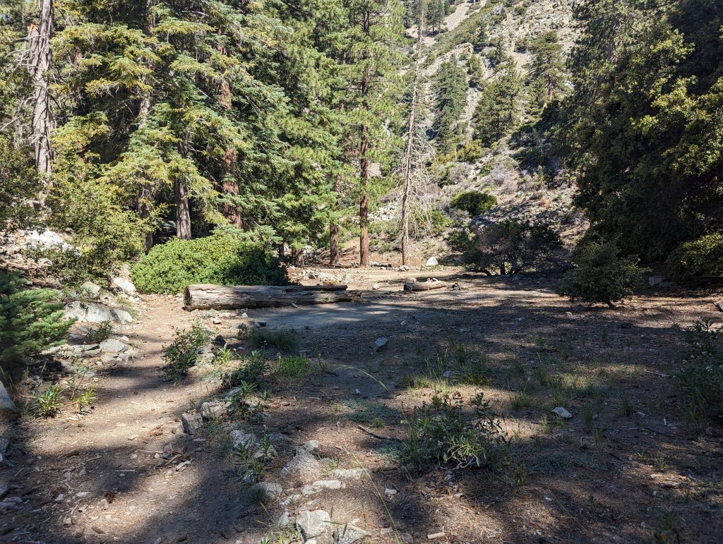
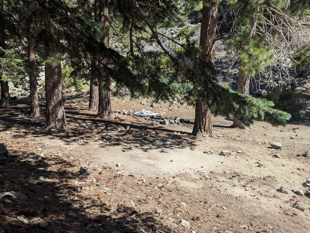
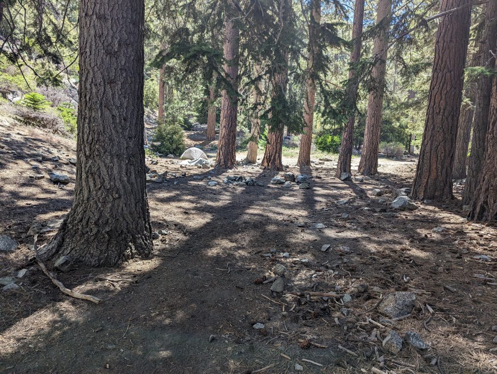
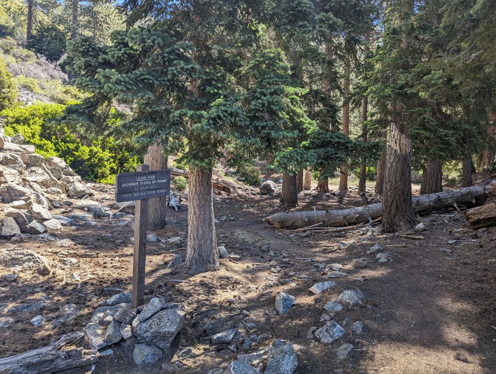
Approximately 2.5 miles from the upper turn off or 2.6 miles from the Icehouse Trailhead is Cedar Grove Camp. This section of trail is nicely shaded in the trees. The camp area is very nice with many different sites that can offer privacy from one another as the trail winds through a couple of different hillsides. there is the option to camp in the flat by the trail, or to go up the hill a bit and find some solitude.
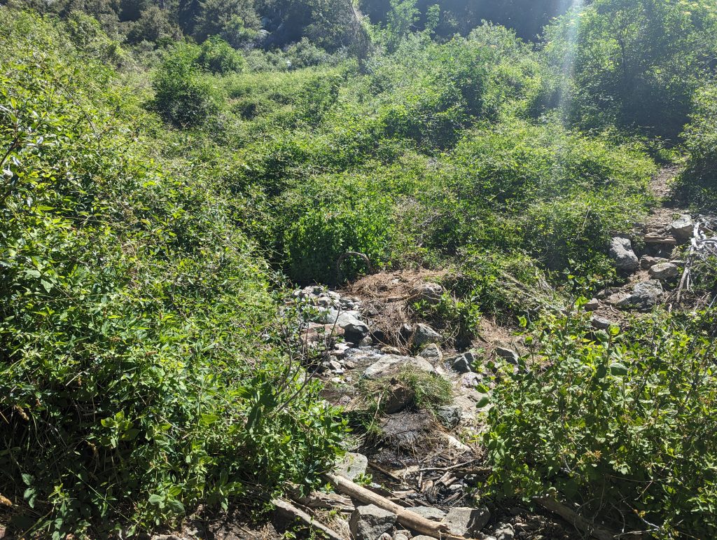
Just below the Cedar Grove camp there is a spring to refresh your water cache. This area is usually thick with all manner of files, mosquitoes and other annoyances. This area of trail is also very exposed to the sun.
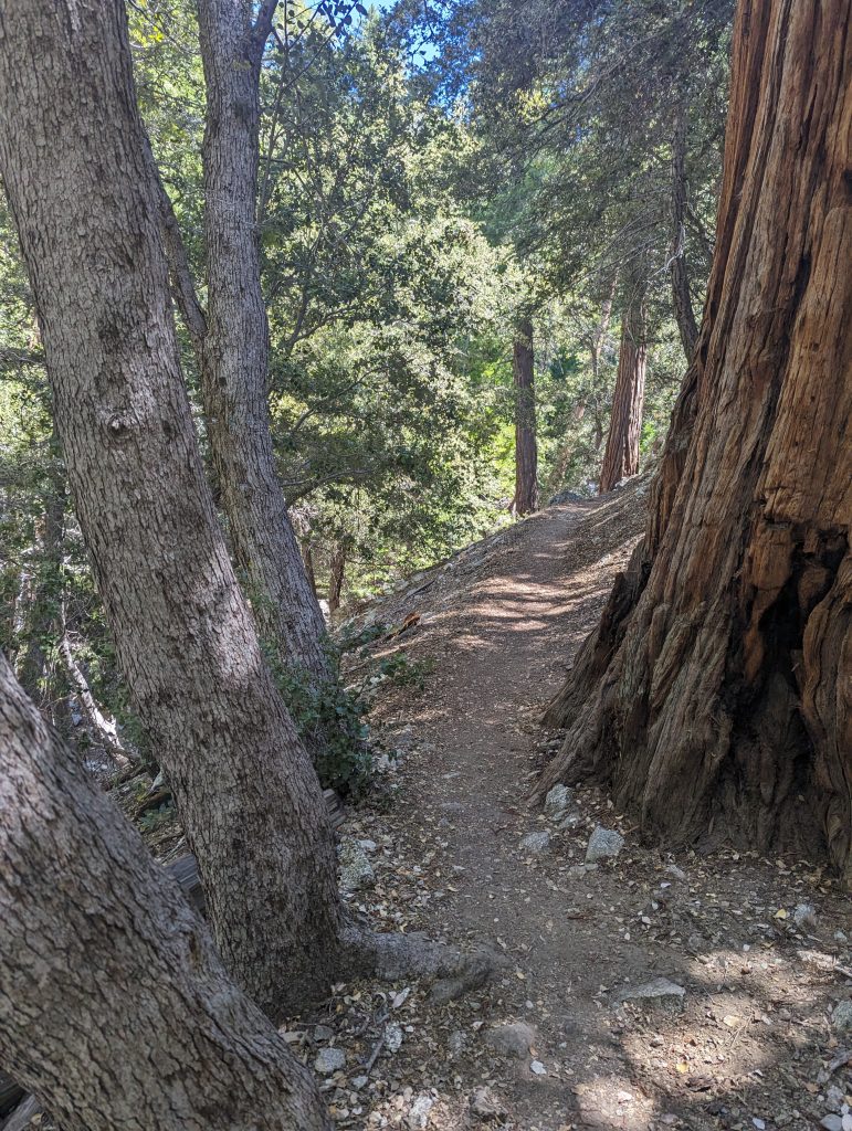
About 1/2 mile past the spring the trail once again enters the trees and some relief from the sun is offered. From there the trail descends back to Icehouse canyon trail. At that junction make a right to head back to the trailhead.

