Rae Lakes via Kearsarge Pass Trail
Vital Information for Kearsarge Pass Trail To Rae Lakes
On this trip we used the the Kearsarge Pass trail to access the John Muir Trail to head north over Glen pass to access the Rae Lakes basin. We did this trip very early in the season (end of May) on what was a low snow year. Even then you will see evidence of chilly temperatures that remained. On a normal year, much of this route would still be covered in deep snow. As it was, we were fortunate that only really the approach to and especially the back side of Glen Pass gave us any meaningful snow traverses to overcome. We did this as a single night trip, but it would likely be a better 2 night experience to better appreciate the Rae Lakes valley. You can also access the Rae Lakes valley from the Sequoia side by starting at Roads End.
Rae Lakes Trip Report
We spent the previous night at the Onion Valley Campground so that we could get an early start and also so that we were a bit acclimatized to the elevation. We don’t normally suffer from the effects of elevation sickness, but it still helps to get at least some time at altitude before hiking. The campground being at 9,200 feet in elevation will do the trick nicely.
This trailhead is a popular one as it offers one of the shorter and easier routes into the backcountry from the eastern side of the Sierra. Not only is this trailhead popular with people, it is very popular with bears and other critters so be sure to utilize the bear boxes provided at the trailhead to store anything that a bear might want.
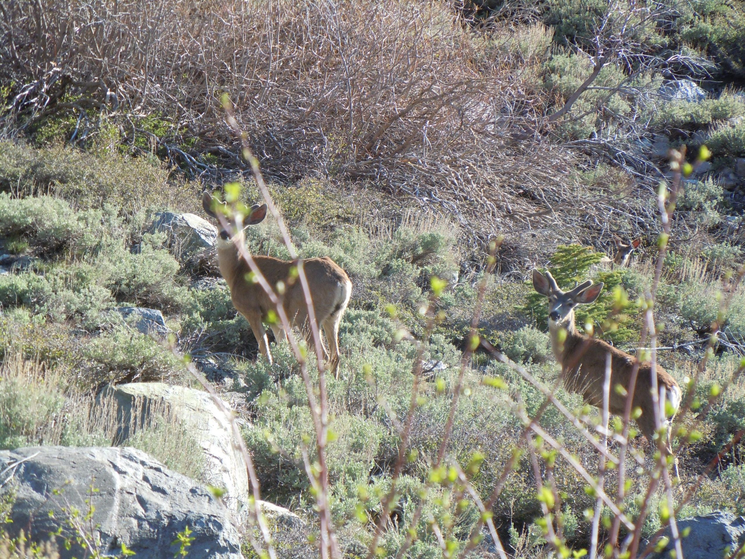
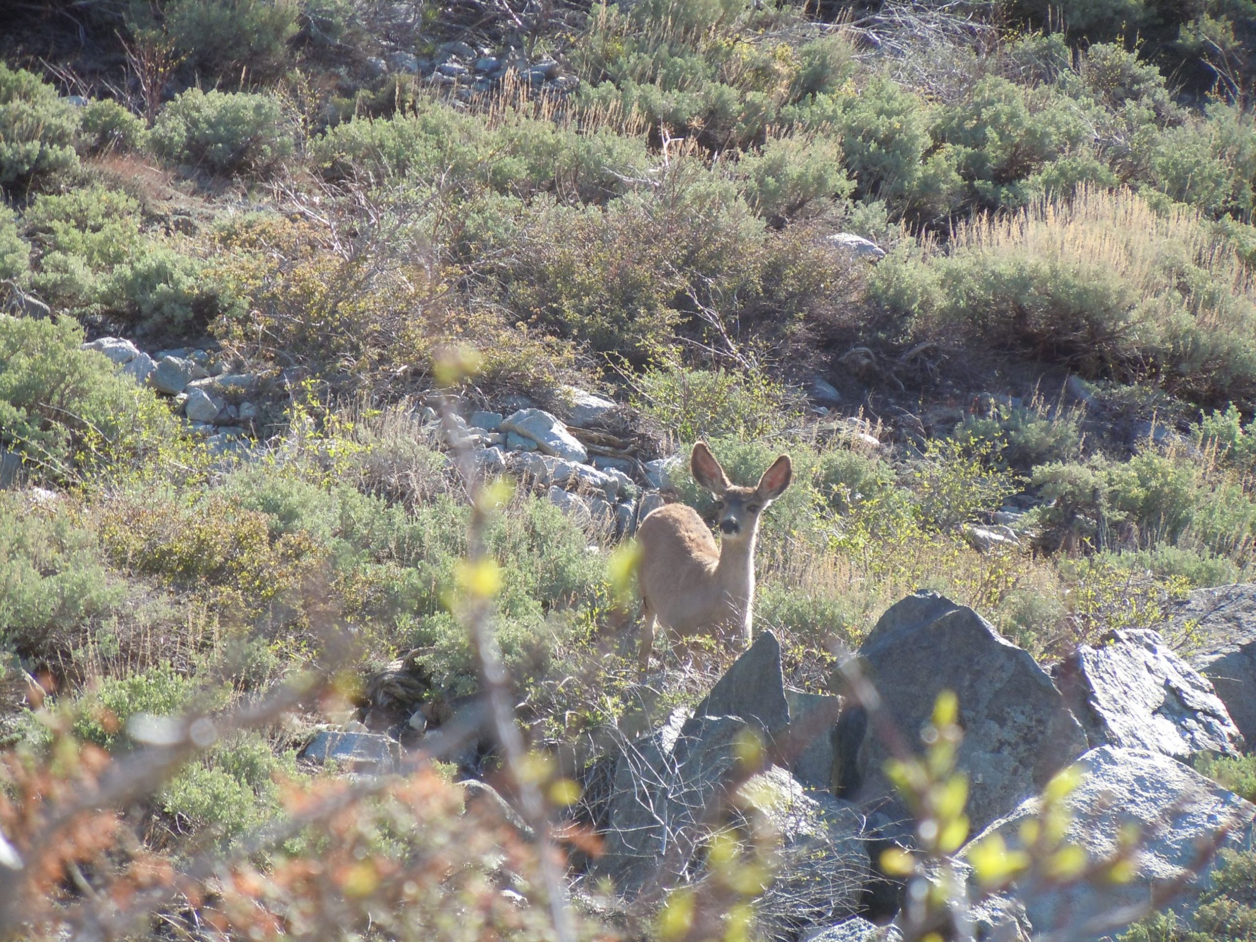
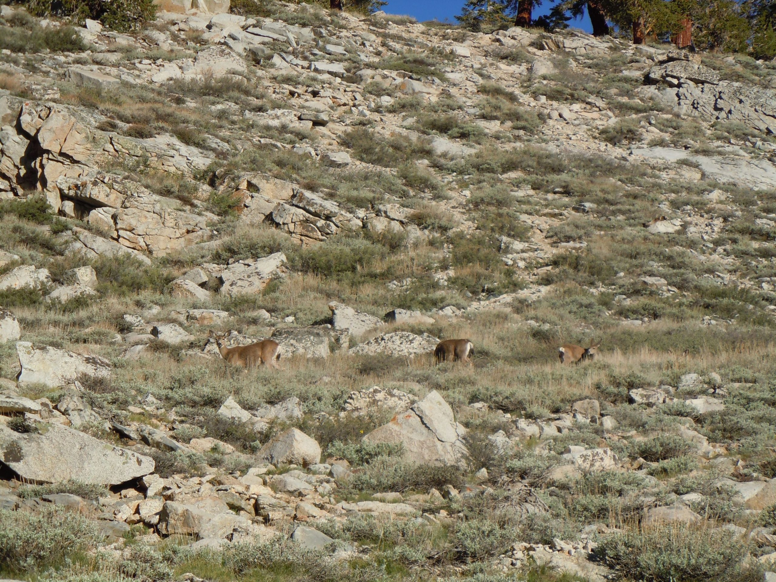
We didn’t see any bears on this trip, but we did encounter a number of Deer almost immediately after beginning the trail. Being so early in the season the bucks still were in velvet as their antlers developed for the year.
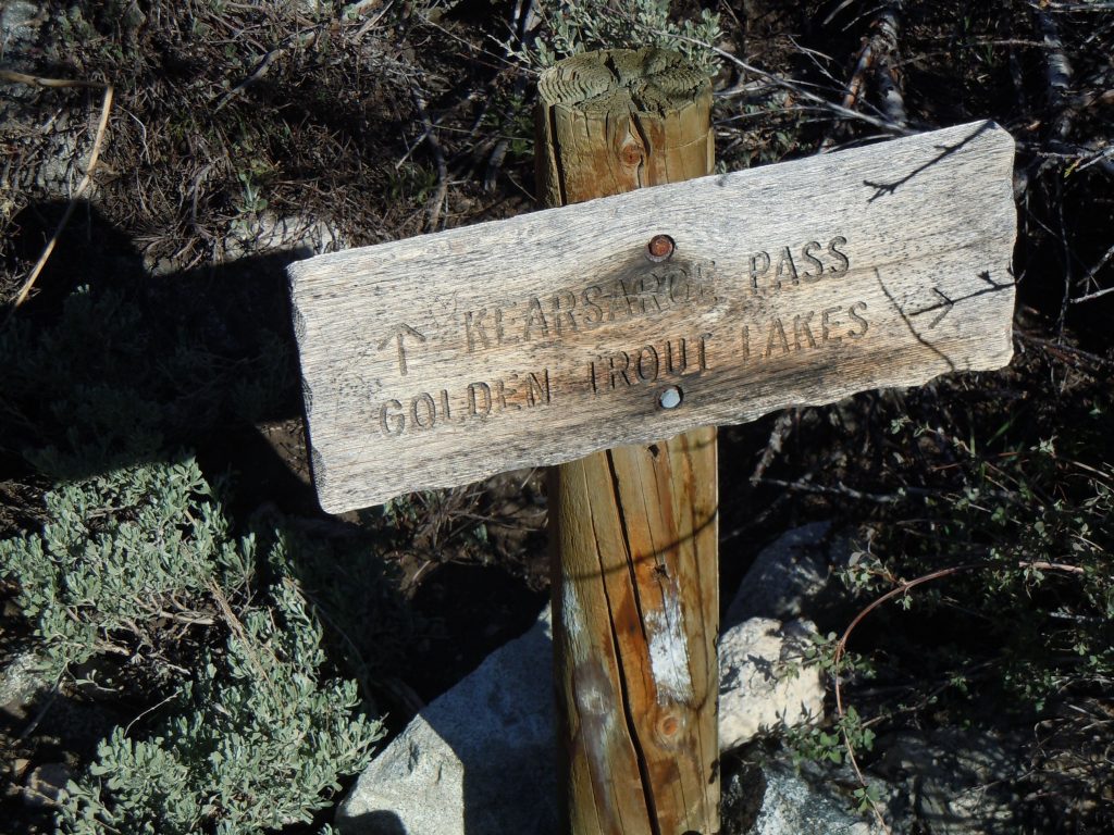
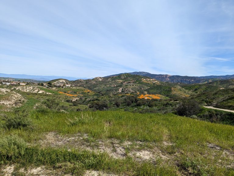
The trail steadily gains in elevation and in about 1/3 of a mile you’ll reach the junction for Golden Trout lakes. This trail is still on the list of ones that we’ve yet to explore. After about another mile or so the elevation gain really starts to kick in and the switchbacks become steeper.
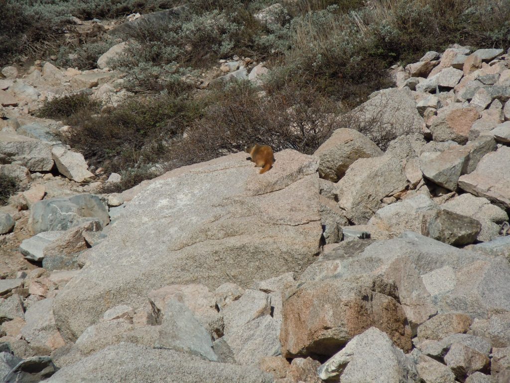
Deer weren’t the only wildlife we saw. As we surmounted the switchbacks and ascended into the granite boulders, furry marmots began to show themselves. This one was looking especially well fed. Curious to know if it made excursions into the lower elevation to help itself to some of the good campers food.
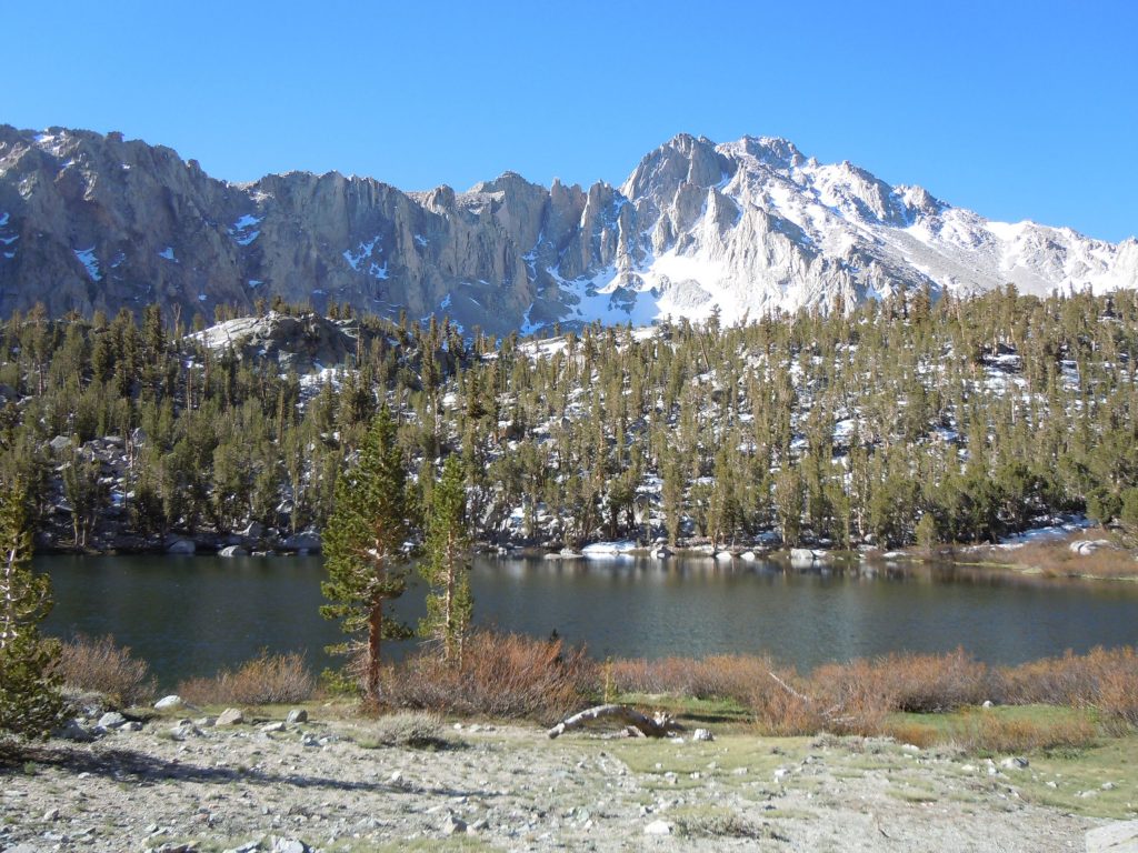
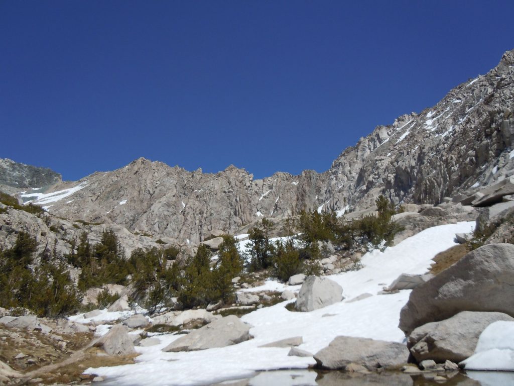
Remember how we were hiking in early season? Now that we were at about 10,400 feet in elevation (a gain of about 1,200 from the trailhead, we were starting to get into our first patches of snow. Since the trail is on the south facing slope at this point, there wasn’t too much to contend with yet. but it seemed that it would be unavoidable at some point.
It didn’t take long for us to hit that first snow traverse. Fortunately this was easily navigated as there was already a well worn path through it and the angle of the slope was not too bad.
Aptly named Heart Lake
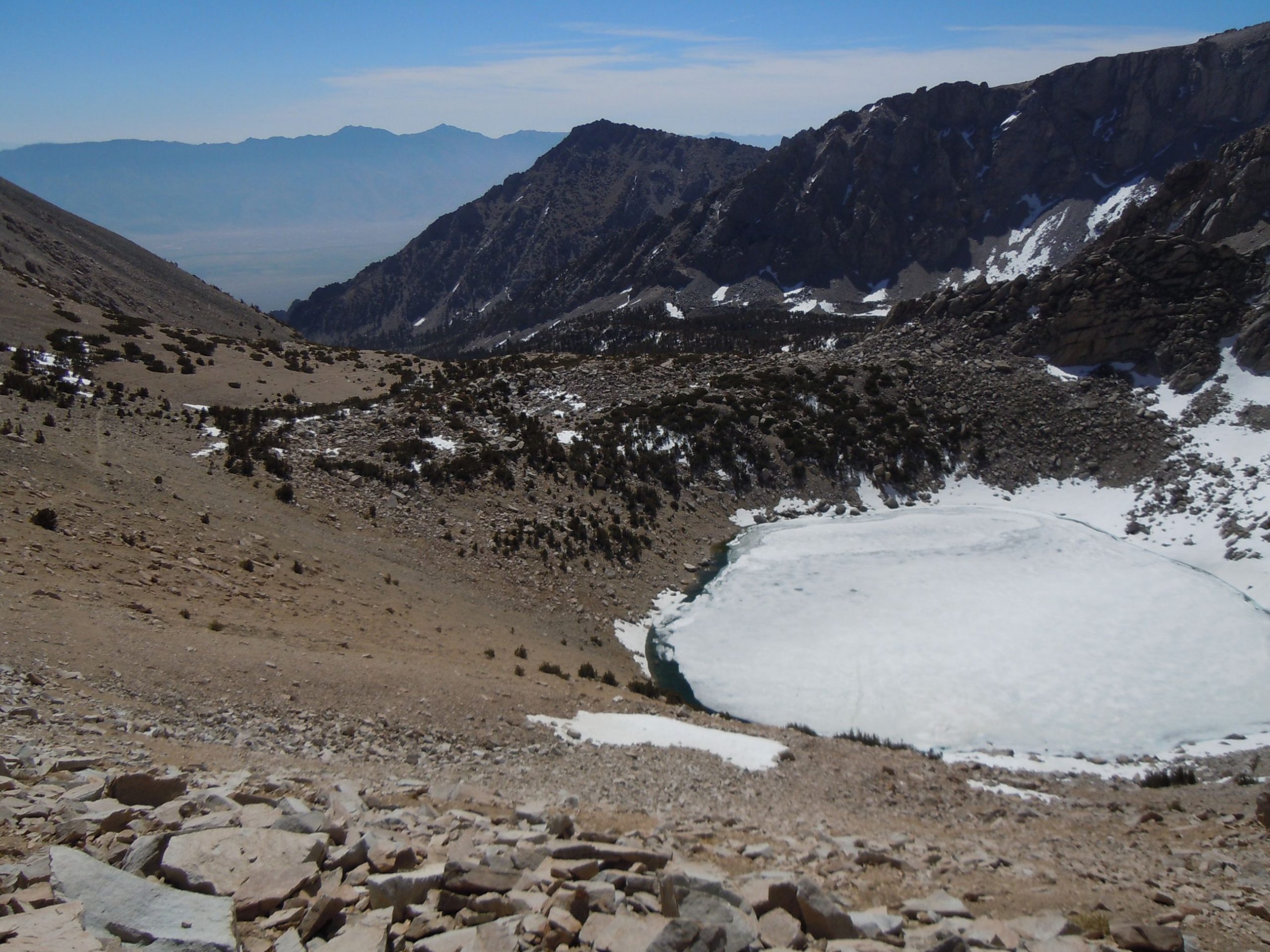
Big Pothole lake at about 11,300′ was still frozen over.
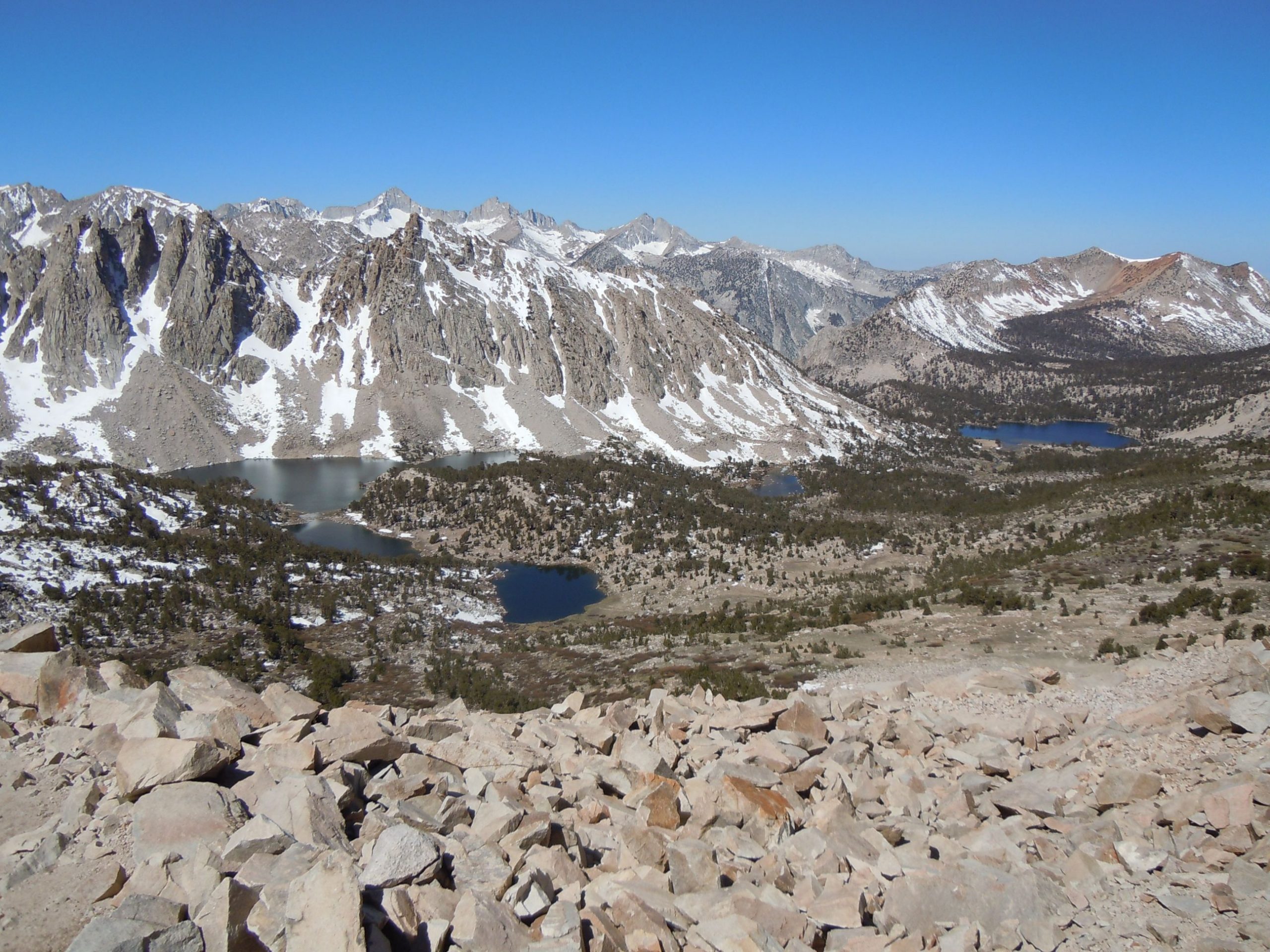
The view from the pass is remarkable. It was a stunningly clear spring day and you can see seemingly forever
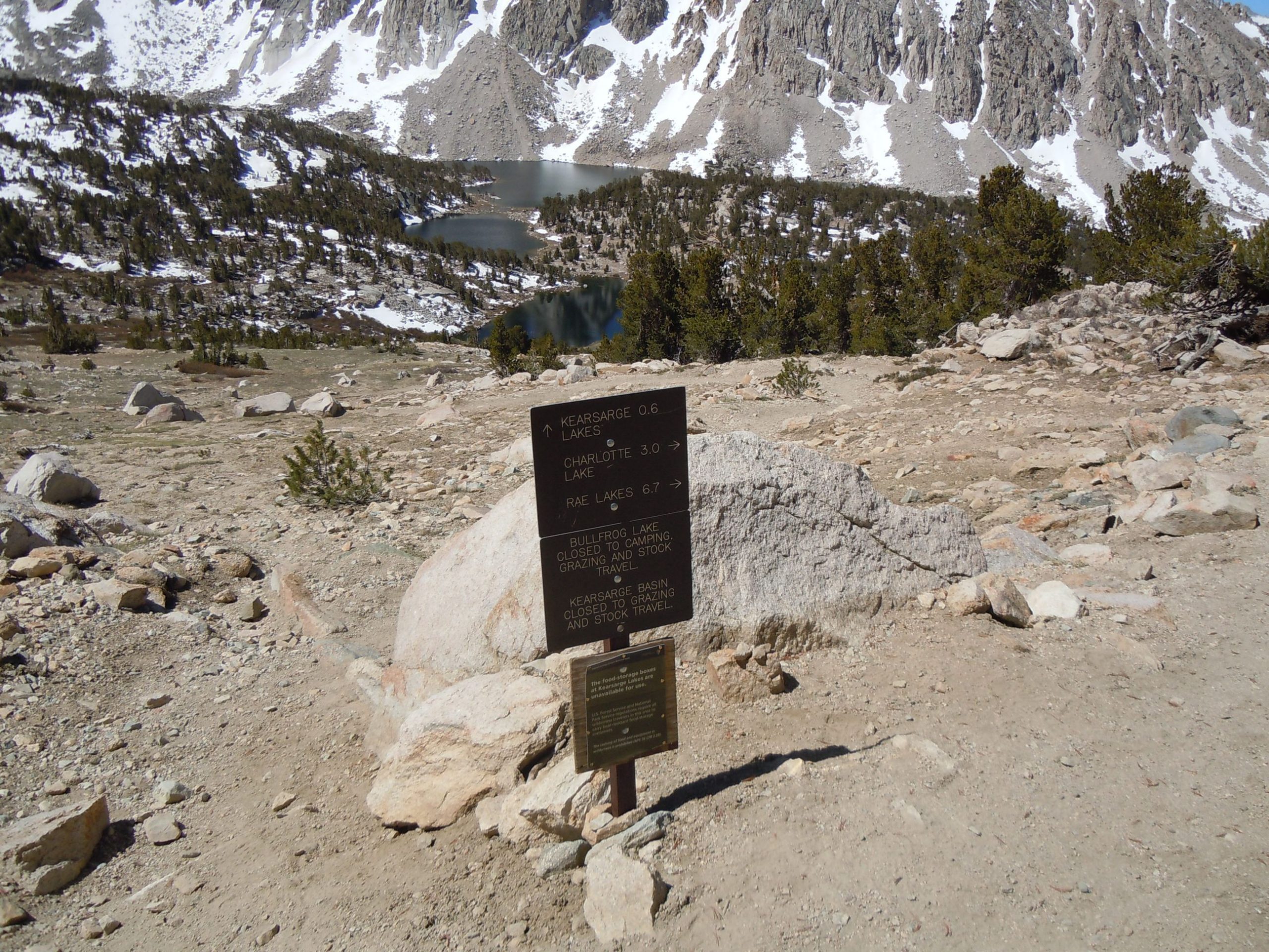
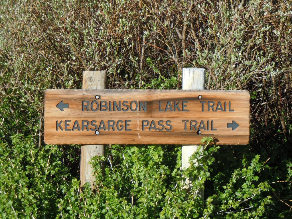
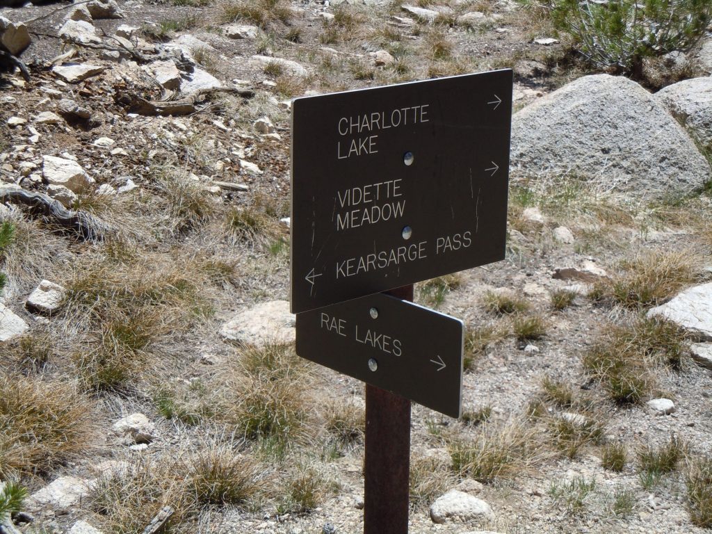
Just over the pass there’s options. The sign here makes it easy to find the correct way to head for Rae Lakes. In a little bit you will have a decision to make whether you want to take the Bullfrog Lake trail that passes by by the shore of the lake, or remain on the Kearsarge pass trail. An important note is that although both trails do link up with the PCT/ JMT again, the Bullfrog lake trail will drop a few hundred feet in elevation that you will have to quickly regain (read: Switchbacks) before making it back to the PCT/ JMT junction. The Bullfrog lake trail also runs about 1/2 mile south of the Kearsarge Pass trail.
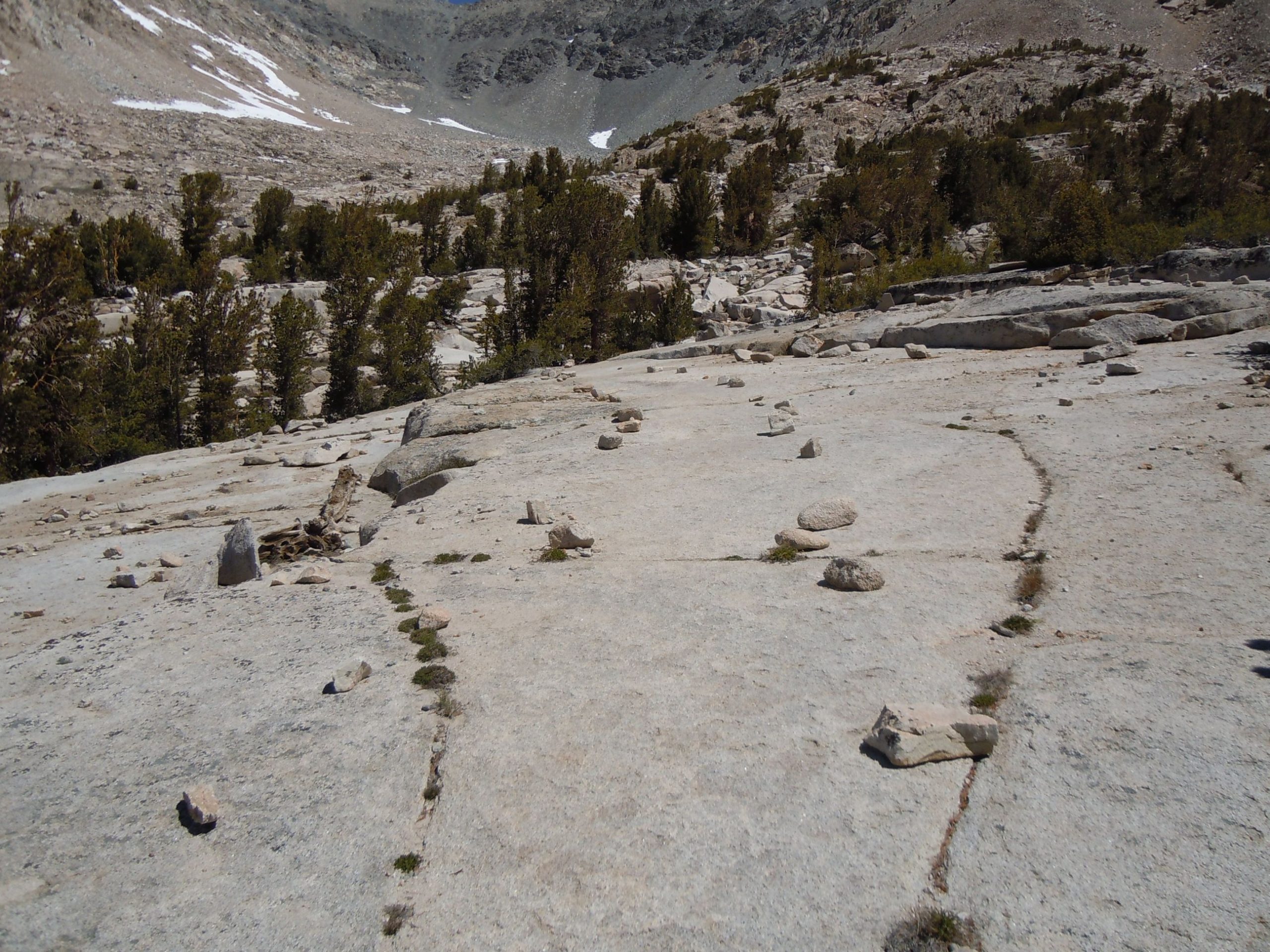

Being the early season we didn’t have our hiking legs quite under us yet so we opted to stay on the Kearsarge pass trail. Parts of the trail ran over solid granite, reminding us of some of the trails a bit farther north in the Yosemite valley.
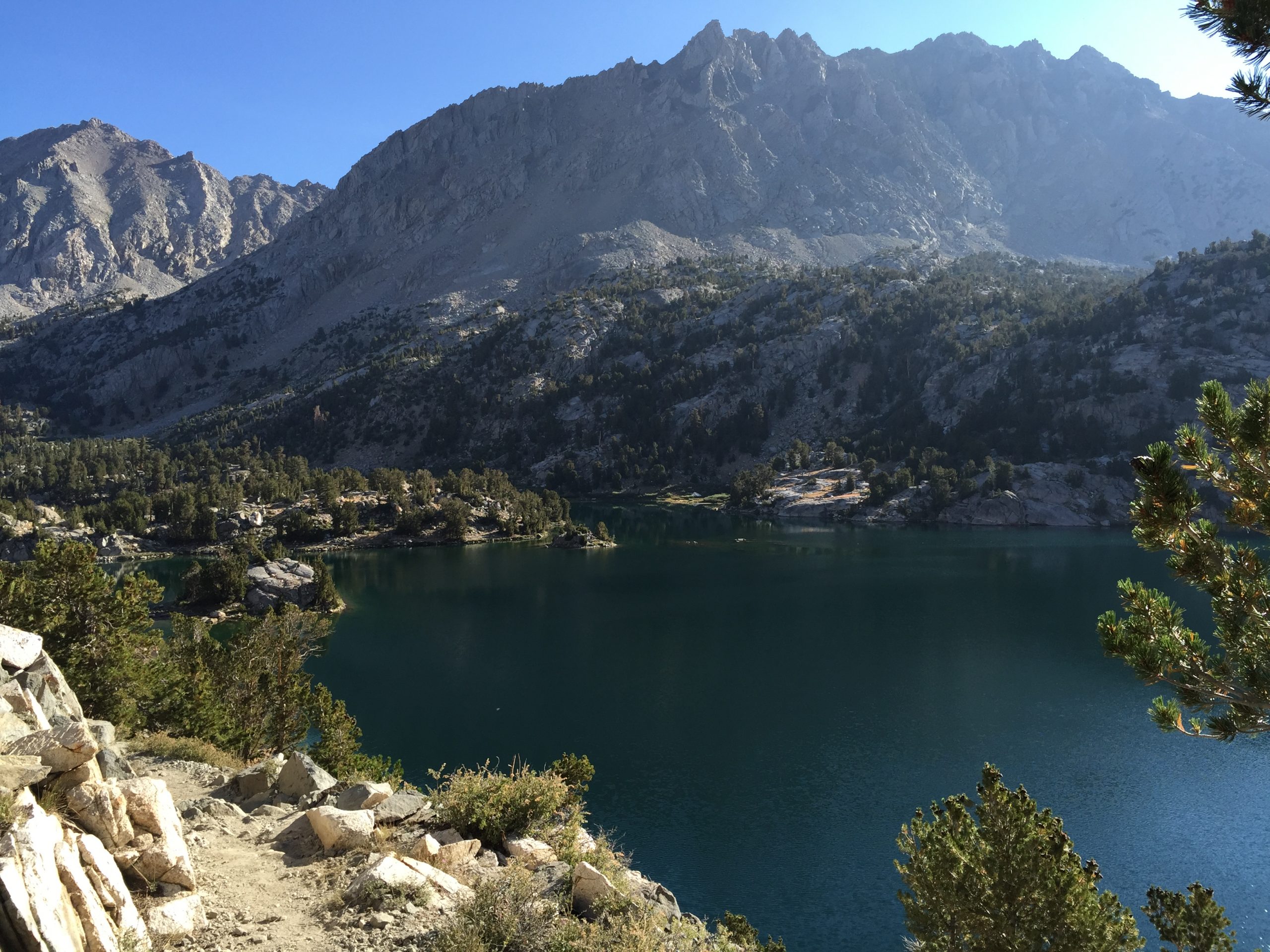
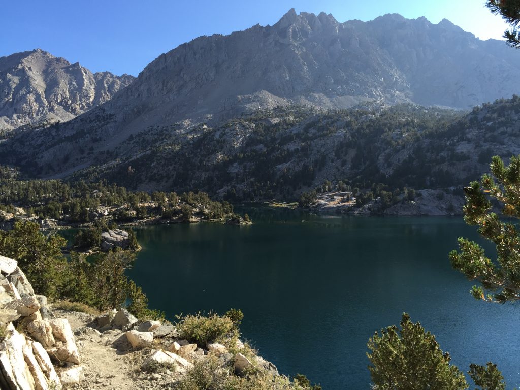
As we descended gradually Bullfrog lake came into clearer view. For some reason the above photo is the only one that I took of it during this trip. Good excuse to go back again.
Just under 2 miles or so from the Bullfrog lake junction you’ll come to another choice. That’s either to stay on the Kearsarge pass trail or to take the Charlotte Lake trail. Since our original destination was to be Charlotte Lake, we opted to take that way. However as things sometimes happen, we were making very good time, and when we reached the intersection of the John Muir Trail, we decided to head north to Rae Lakes instead of continuing on to Charlotte Lake.
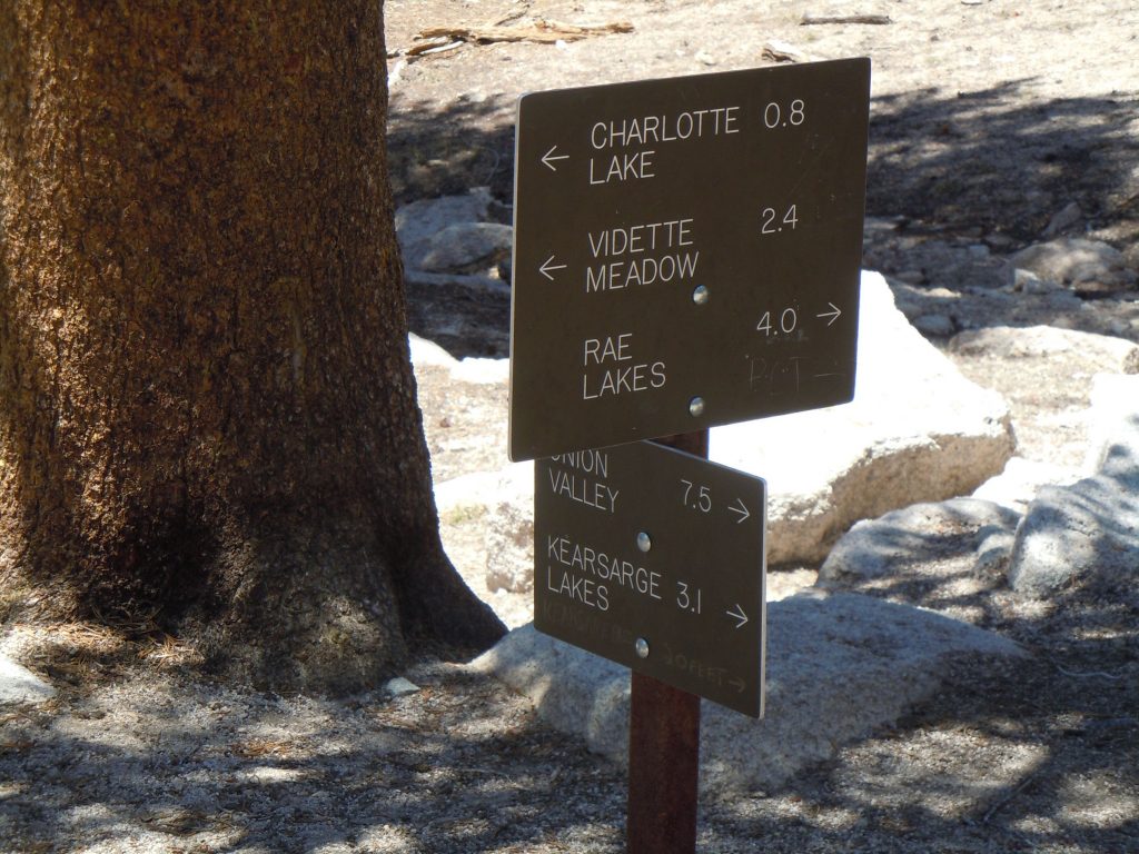
About 1/2 mile north of the Charlotte lake turnoff (.8 miles according to the sign in the photo) we got back to the Kearsarge pass trail. If the sign is to be believed, at this point we were about 7.5 miles from the trailhead, but obviously we’ve gone a bit more than that after taking the short detour.
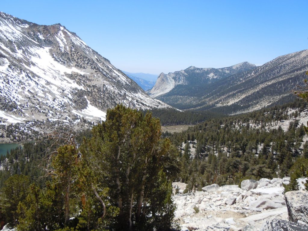
Leaving the junction we began to climb back up as we were getting ready to ascend Glen Pass. One of the more stunning views is from the hillside that your climbing just above Charlotte lake. It almost feels like you can just slide right down the valley, at the end of which would put you at Roads End on the western side of the Sierra.
As we continued climbing our way to Glen pass, we began to encounter more and more snow as we started to make our way through more north facing slopes. We probably should have realized at this time what the north side of the pass would look like (spoiler alert) but we were too caught up in the beauty of it.
As we neared the final push to Glen Pass the snow became more frequent and there were pockets of it melting that formed what looked more akin to glacial lakes in their color.
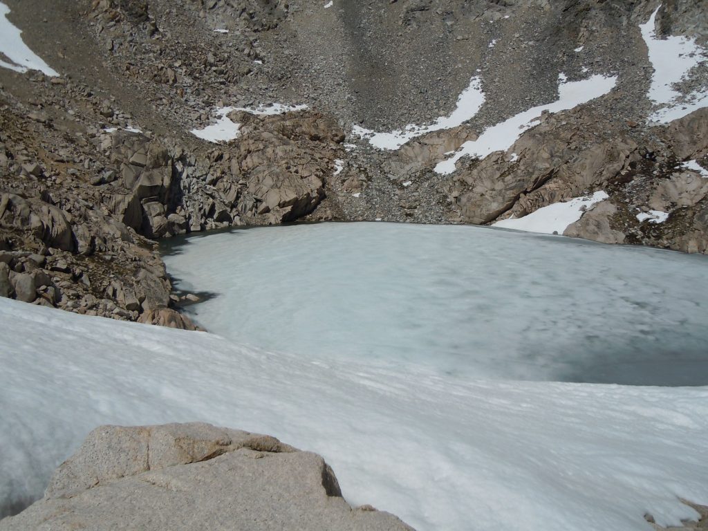
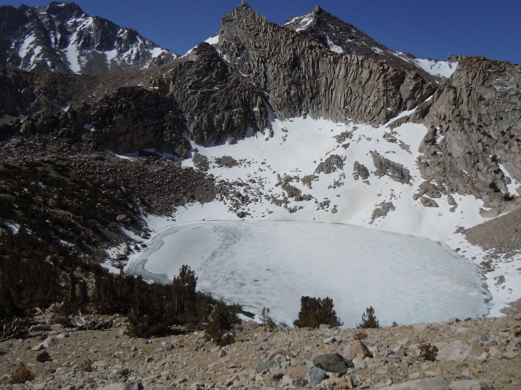
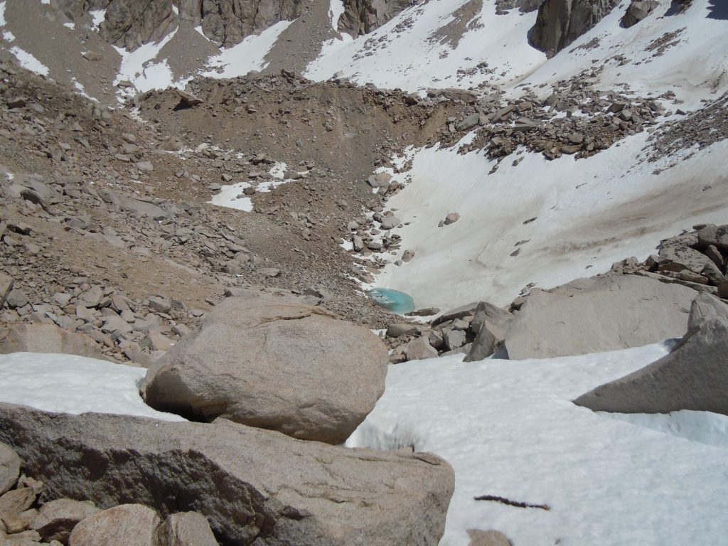
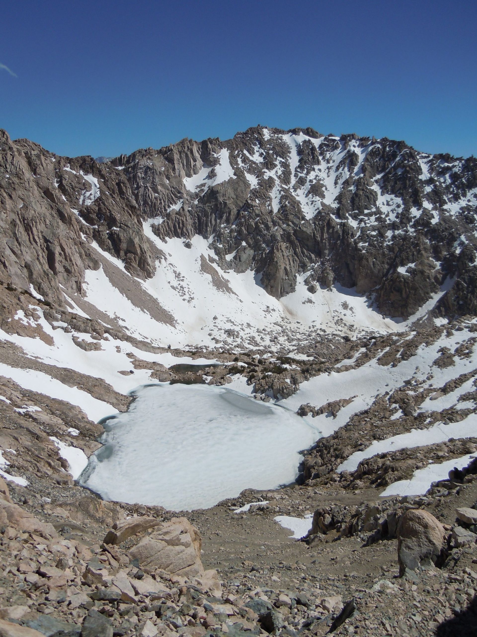
There’s a small lake, well it’s normally a lake, on the south side of Glen pass, just at the bottom of the switch backs. On this trip it was still pretty much entirely frozen. Only a bit of the southern tip had just started to thaw.
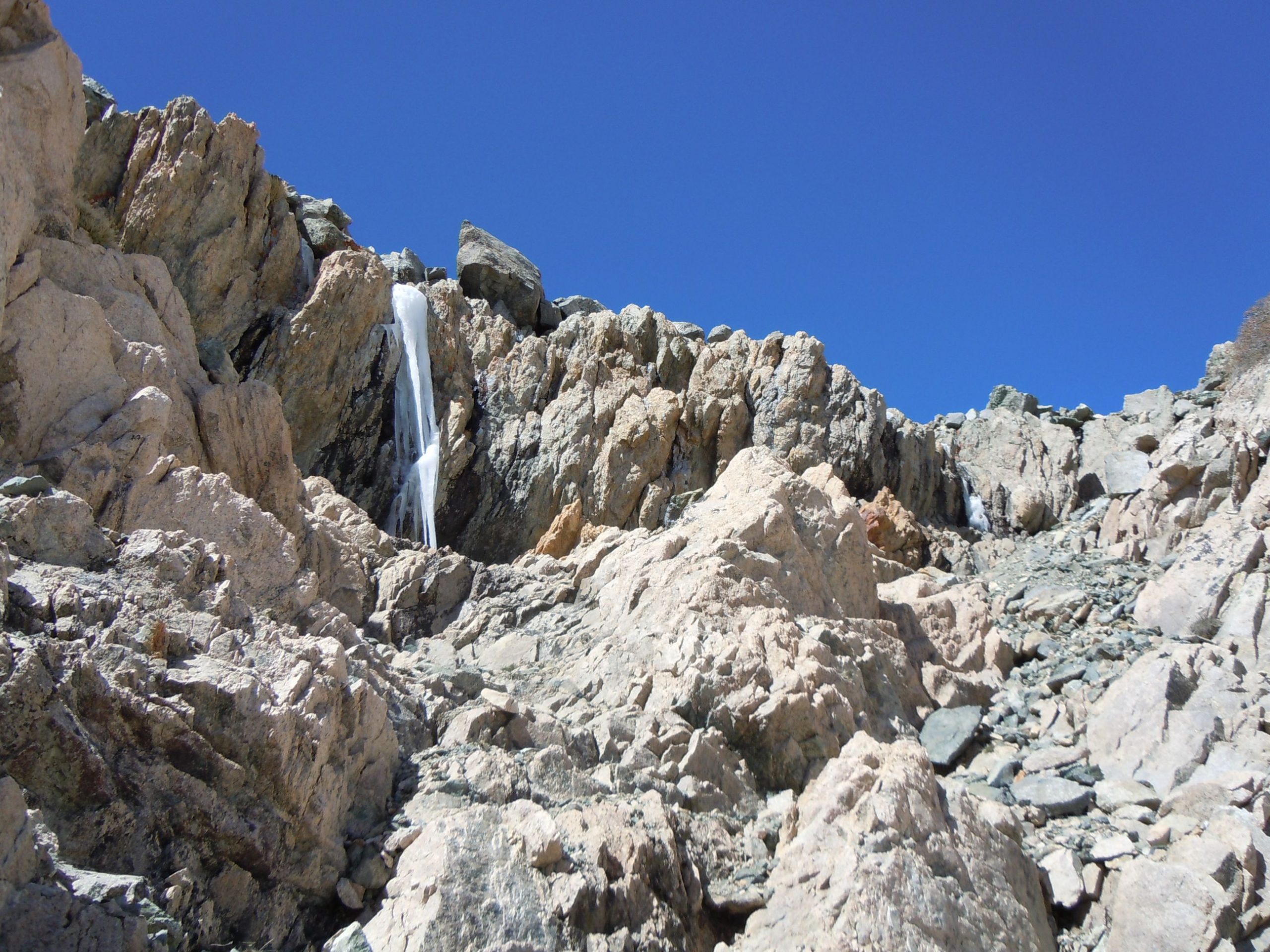
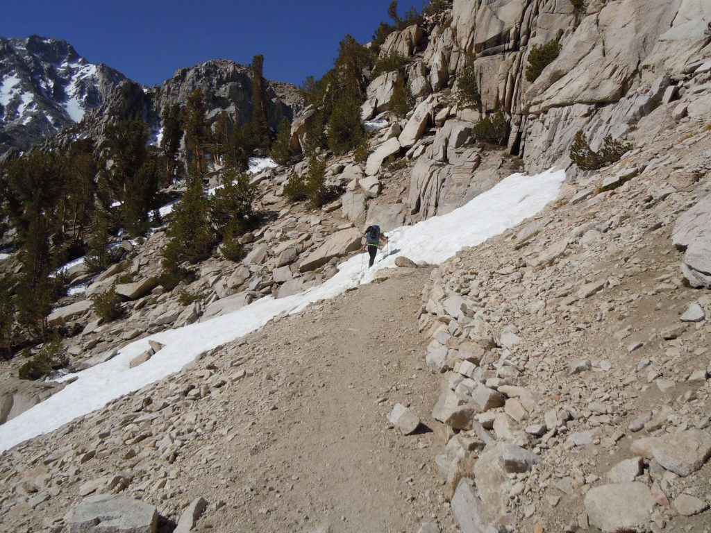
You may be able to see it in the thumbnail, but if you were to click and enlarge the image above on the left, you can see the trail crosses over many snow drifts that lie across the trail. There was already a well worn path for us to follow but imagine earlier in the season this would have proven to be a bit tricky. The other image we found interesting as the water was refreezing into a large icicle as it came down the mountain.
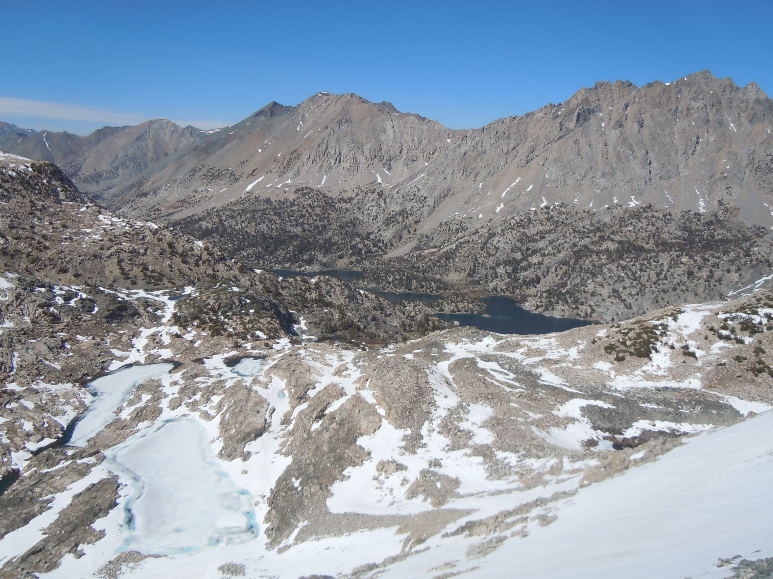
Fortunately the snow crossings were only down at the lake level and the south facing ascent of the pass was snow free. From the top of the pass there wasn’t much of a view south as you climb up out of a bowl to get there. The view north however reveals the stellar Rae Lakes valley.
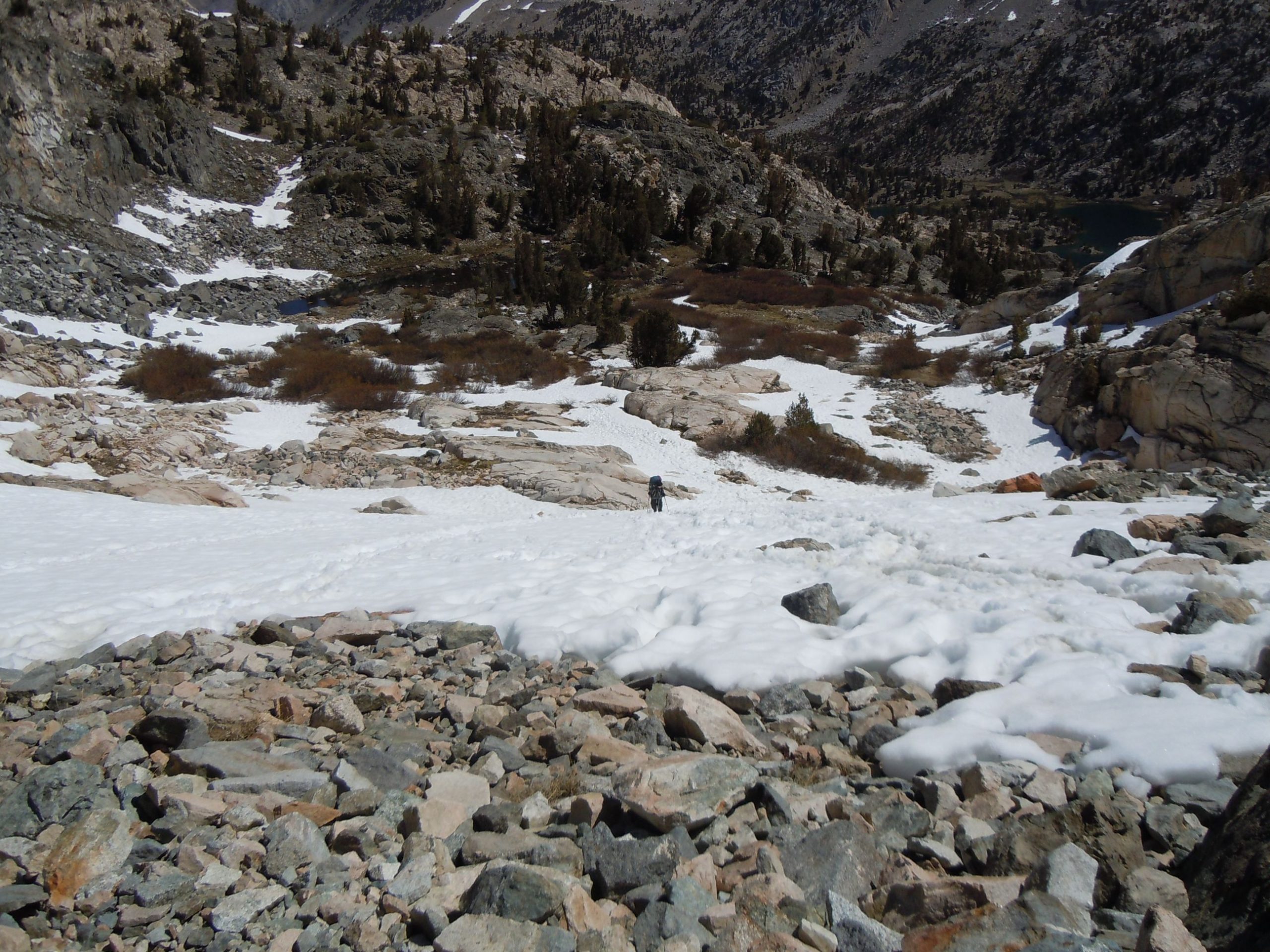
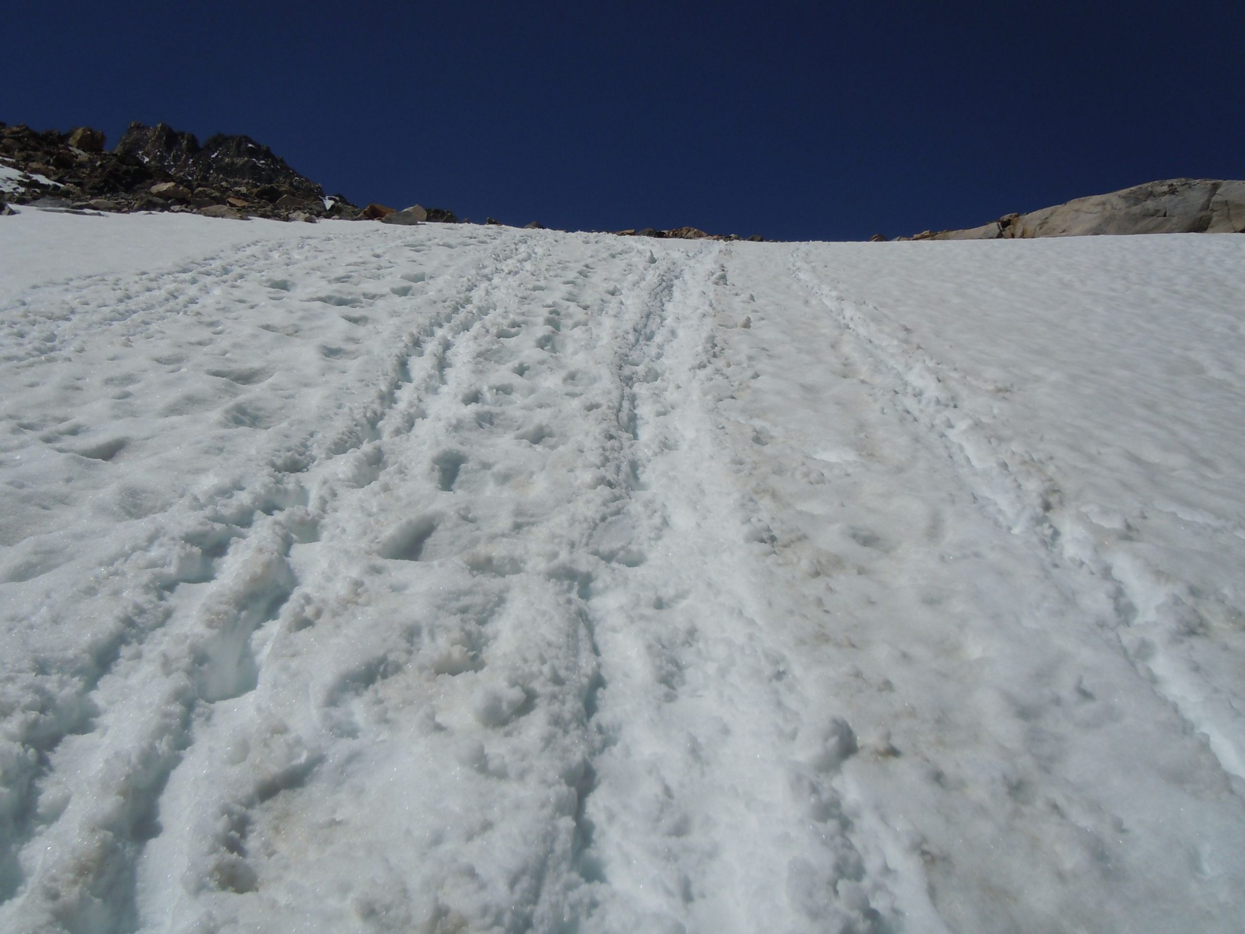
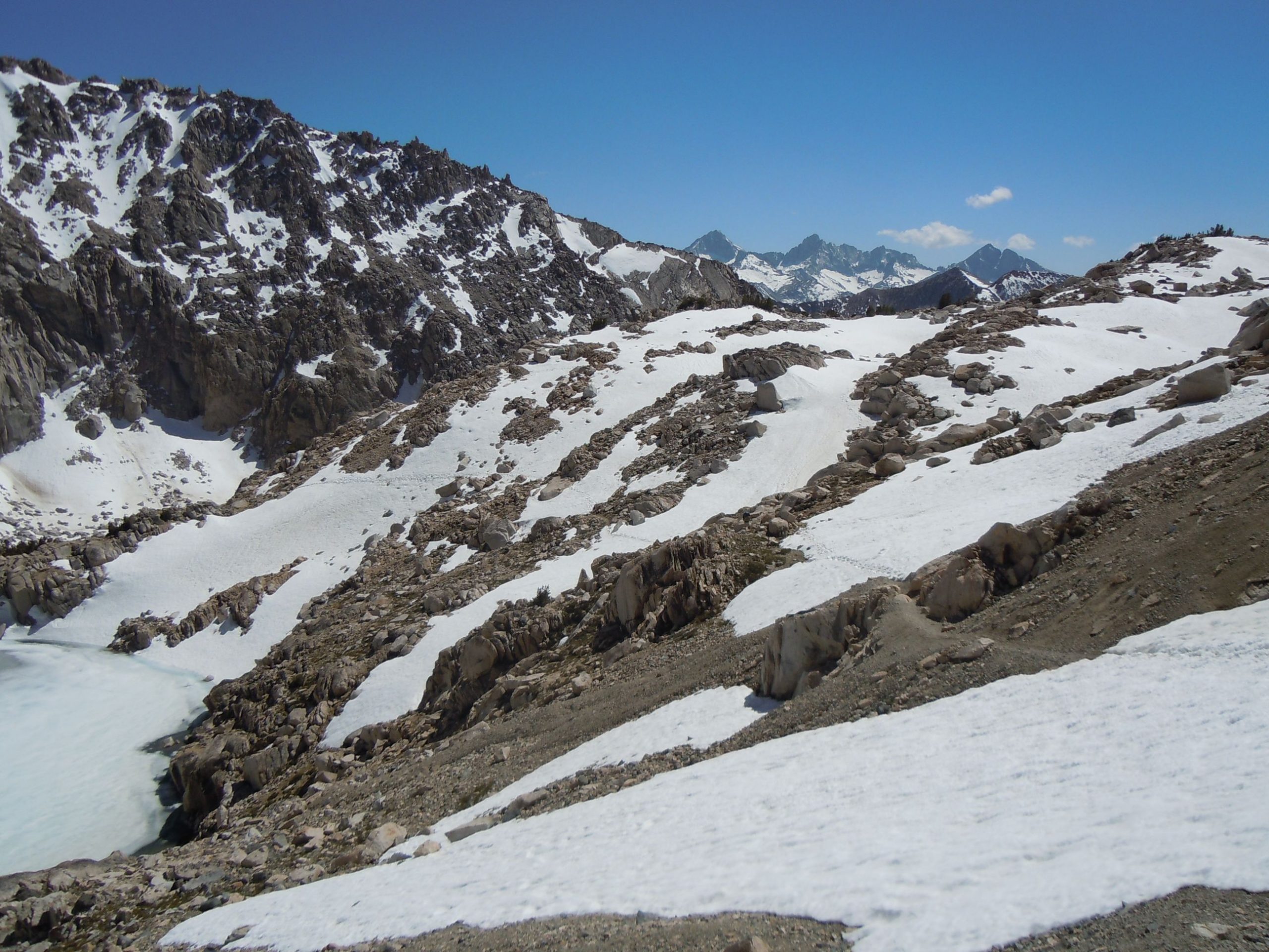
Unfortunately we didn’t capture any images of the descent of the pass, but did capture these photos as we were going back up the next day. The north side of the pass was completely covered in snow. There was a bit of a traverse path that had been made that we followed but for the most part it was choose your own adventure in getting down.
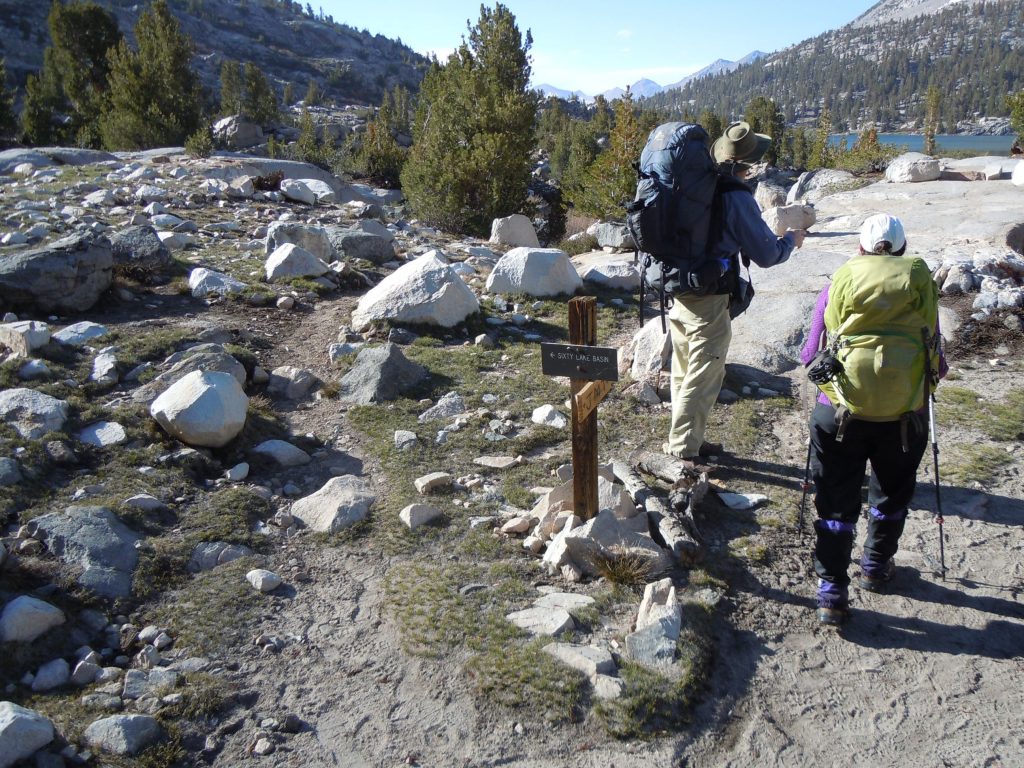
We took our time and eventually made it down. Once at the bottom of the pass, we found the junction for 60 lakes basin. Looking at google earth it looks like and intriguing trip, but we kept true to the purpose of exploring the Rae Lakes basin.
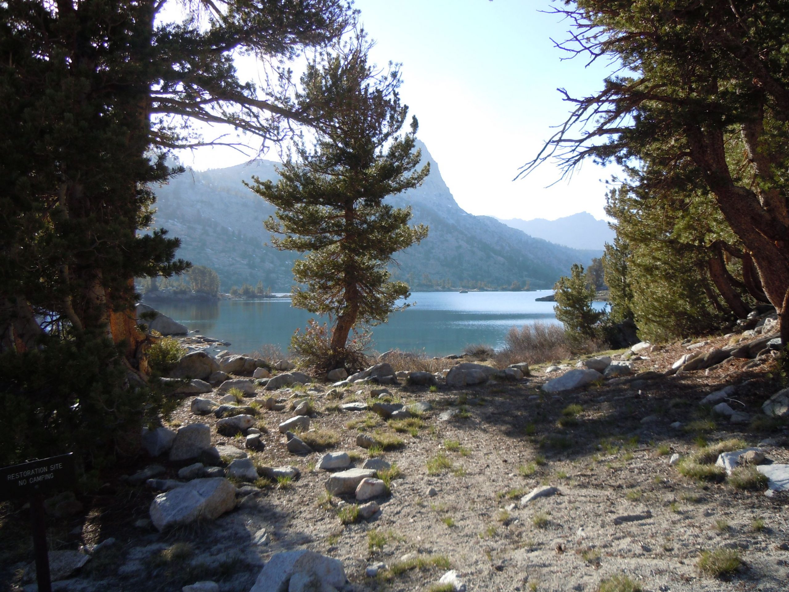

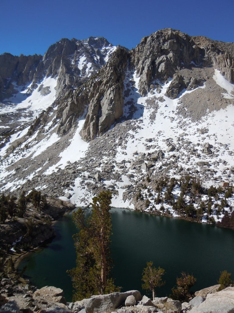
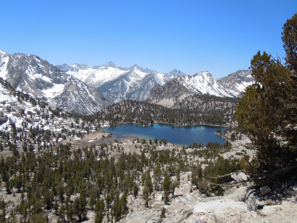
There is an obvious reason that the Rae lakes basin is so popular. The beauty of the lakes and the valley is on full display everywhere you look. The waters are crystal clear and there’s just enough trees to provide shelter but not so thick as to obstruct the views.
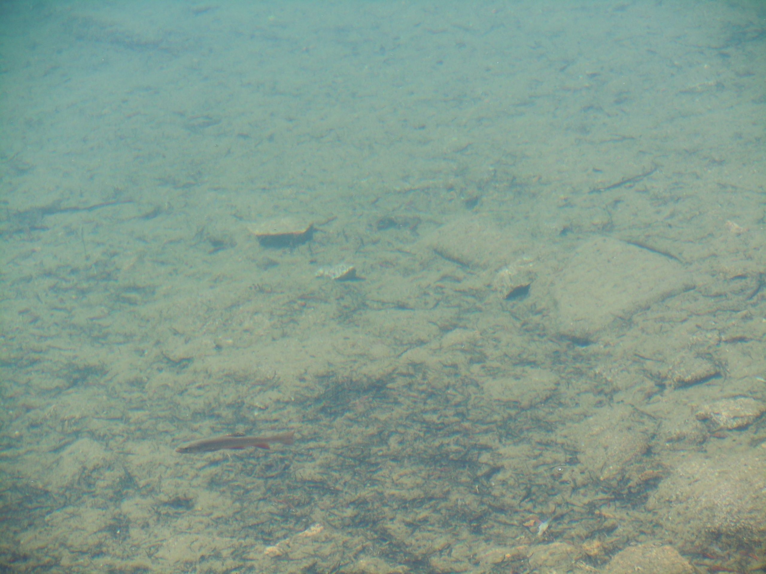
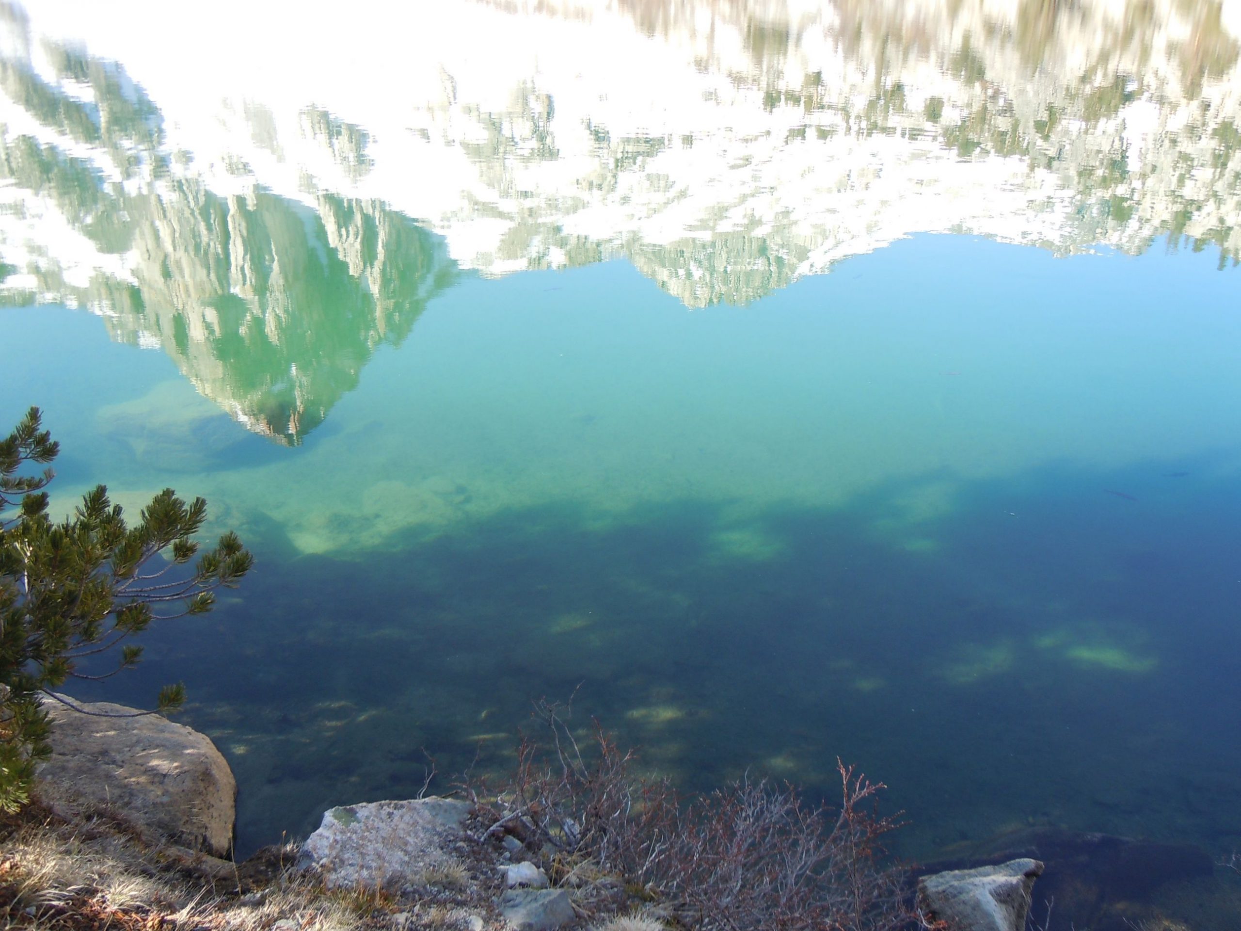
Wandering around the valley some more we saw rainbow trout swimming in the lakes and the wind was calm enough to capture the mountains reflecting in the water. After about a 13 mile hiking day we called it a night. This was our first trip to the Rae Lakes valley but won’t be our last.

One Comment
Comments are closed.