Chicken Spring Lake via Cottonwood Pass
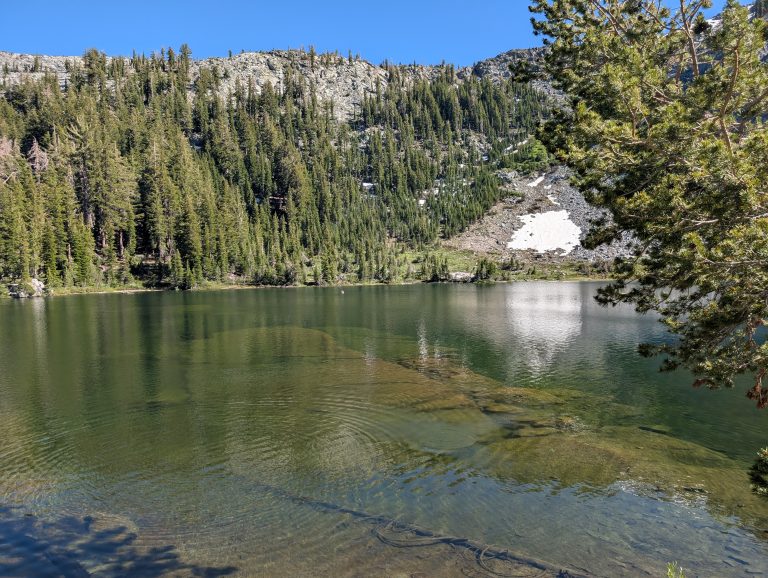
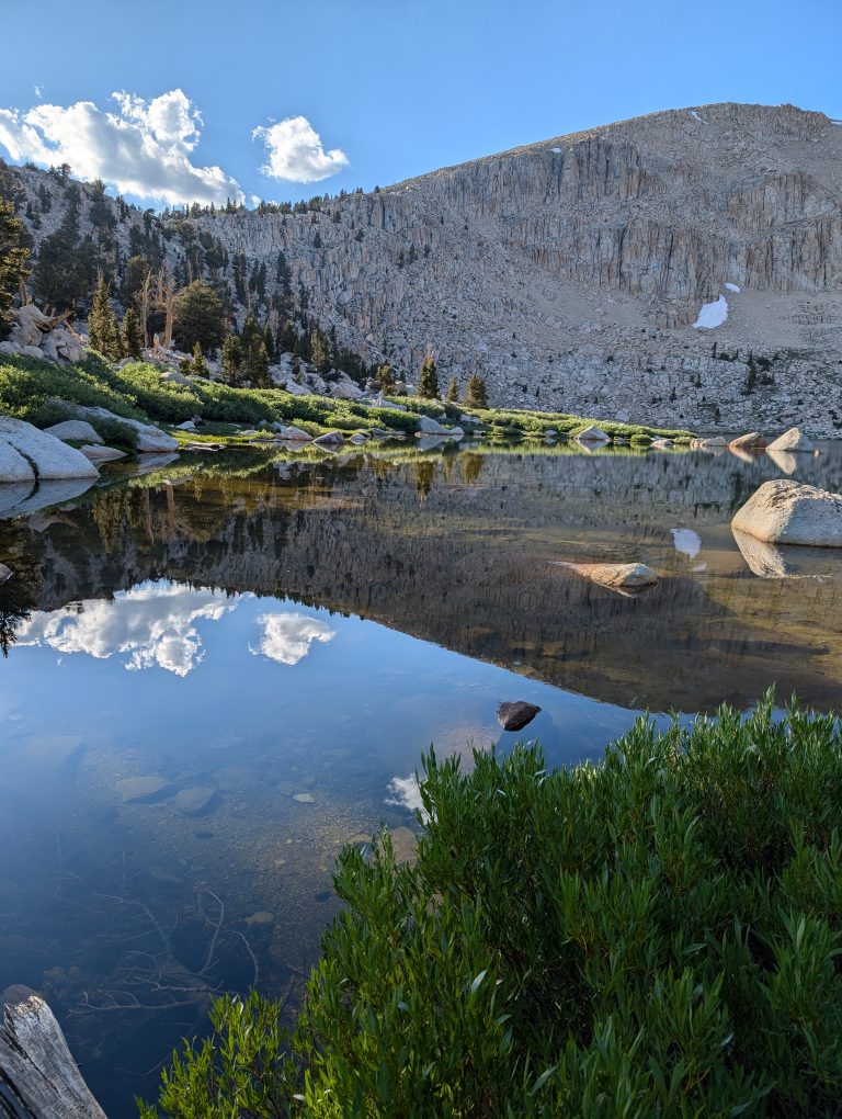
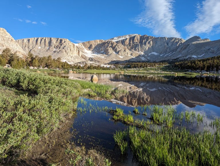
Overnight backpacking trip to Chicken Spring Lake via Cottonwood Pass.
Want to combine a great breakfast with a relatively leisurely 5 mile walk around Bonelli Park? This is the route for you! Trail Description This is a popular and at times very busy route but there is ample parking in the parking lot on McKinley Avenue near Brackett Airport. In the event that the parking…
Mt. Baden Powell Via Vincent Gap
This guide will detail how we planned and executed section hiking the John Muir Trail over the course of three Summers
Trail Description The Sawmill Pass Trail ascends nearly 7000′ over 9 miles from the Owens valley to the crest of the Eastern Sierra. Beyond the pass the trail continues on to Woods lakes and the Pacific Crest and John Muir trails. The trail is generally blocked by snow/ ice at the 4 mile mark until…
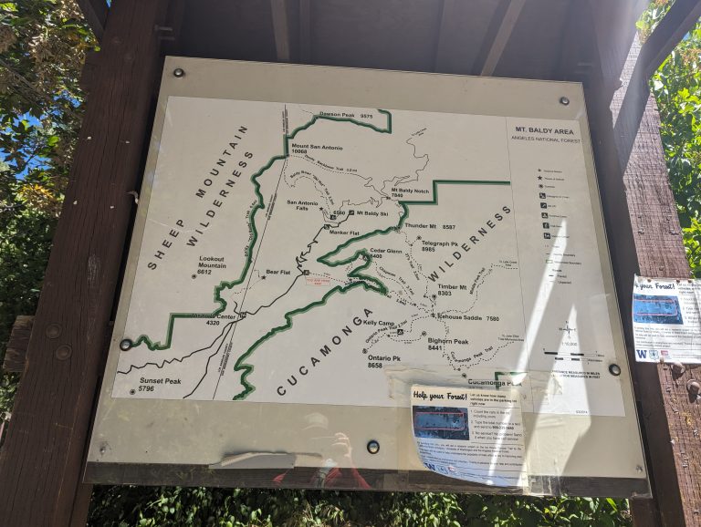
Trail Summary Icehouse Canyon trail is a VERY popular and moderately challenging trail located above Mt. Baldy Village. Combining the trip up Icehouse Canyon trail and a return down Chapman trail entails about 8.5 miles of trail with around 2,600′ of elevation gain (and then loss). It tops out at 7,600′ of elevation. It can…
Trip Overview Surprise Canyon Tail to Panamint City is an interesting trip back in time to a mining town that had two different lives. One in the 1800’s and one as late as the 1980’s. The descriptions below are a combination of two trips taken to Panamint city in November of 2011 and February of…
After a very successful first trip and having missed being able to sneak away in 2022 due to a mid summer National Park vacation that soaked up all our PTO (which you can read about here). We definitely wanted to head out to the back country again this year. When looking for the next trail…
What is it? CalTopo.com is an incredibly useful tool for not only planning your next adventure but also aids in figuring out where and what the heck you saw after your trip is done. Despite its name, it offers much more than just topographical maps. There are layers for historical fire activity, buildings, cell coverage,…
Weir Canyon Trail – 3.6 mile loop loop trail. Good for Wildflowers and general exercise.