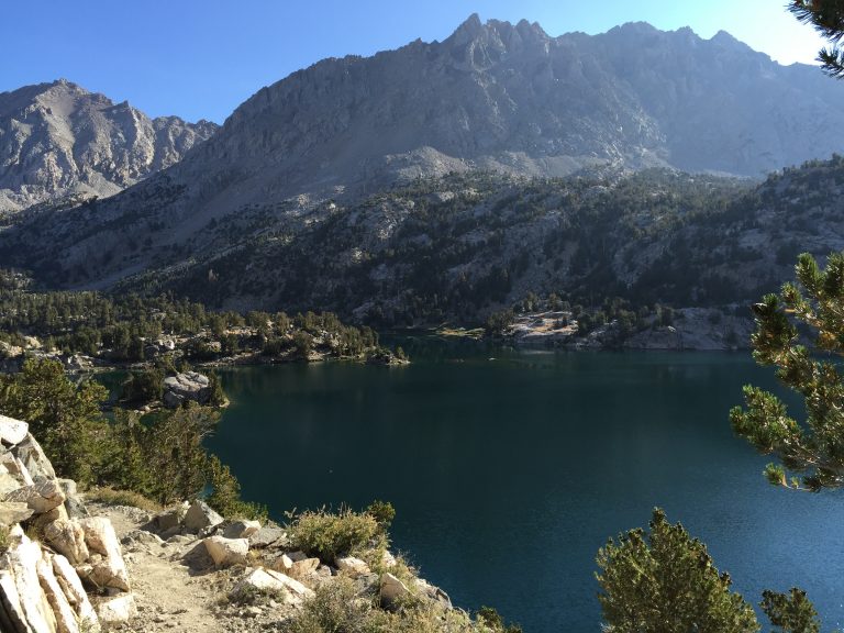
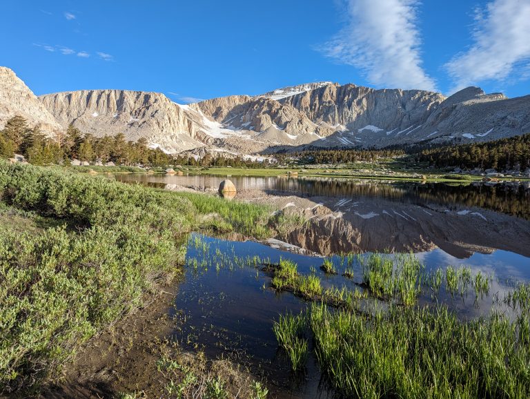
Sawmill Pass Trail
Trail Description
The Sawmill Pass Trail ascends nearly 7000′ over 9 miles from the Owens valley to the crest of the Eastern Sierra. Beyond the pass the trail continues on to Woods lakes and the Pacific Crest and John Muir trails.
The trail is generally blocked by snow/ ice at the 4 mile mark until mid to late June
Because the trails starts at around 4500′ of elevation and has little to no shade or water for the first nearly 4 miles it is very important to get an early start. Temperatures in the Owens valley frequently exceed 95* F making for a grueling and potentially dangerous hike. .
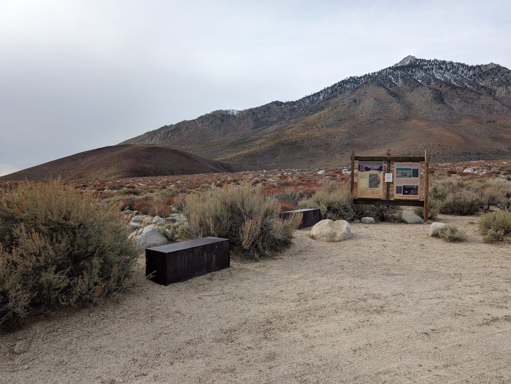
Directions to Trailhead
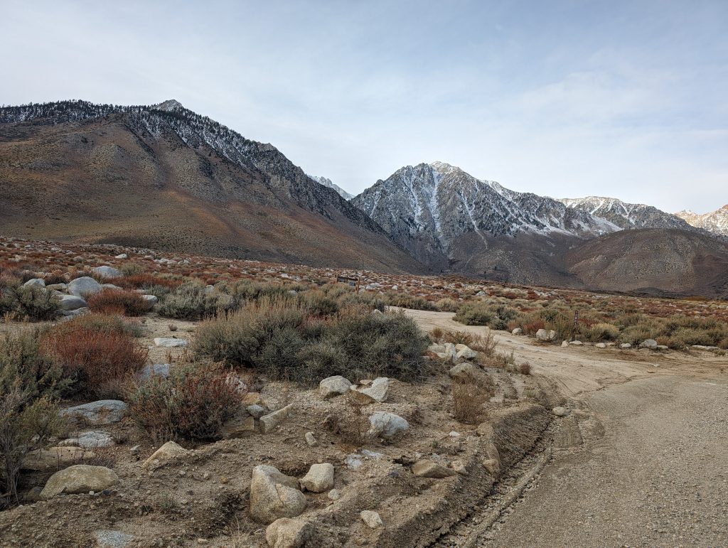
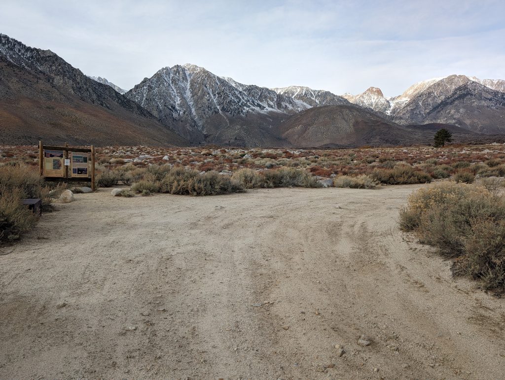
The trailhead is located off of highway 395 about halfway between the towns of Independence and Big Pine, California. Click this link to be taken there in google maps. The last 3/4 mile to the trailhead is a well maintained dirt road. Neither 4 wheel drive nor a high clearance vehicle is usually needed. The only exception might be immediately after a heavy rain there have been some times when the road becomes rutted but LADWP is usually quick to repair the road as they have infrastructure that they maintain at the top of the road.
Trip Summary
Our trip was done at the end of May in an extremely low snow year of 2015. Normally the trail would be fairly impassible just past where we camped, about 4 miles in but instead we had a fairly clear trail for hiking.
Hiking in May allowed us to get a much later start than normal. We’d normally start at 5am for a hike like this to avoid the heat. Instead we started around 9am with an eye on the weather building.
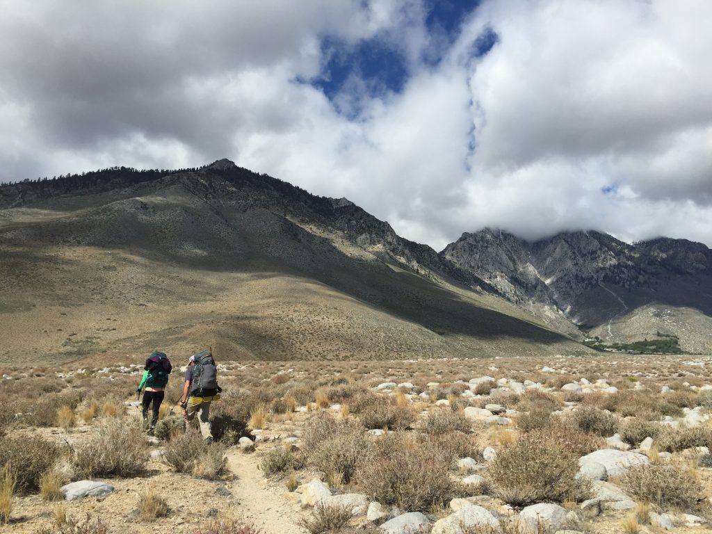
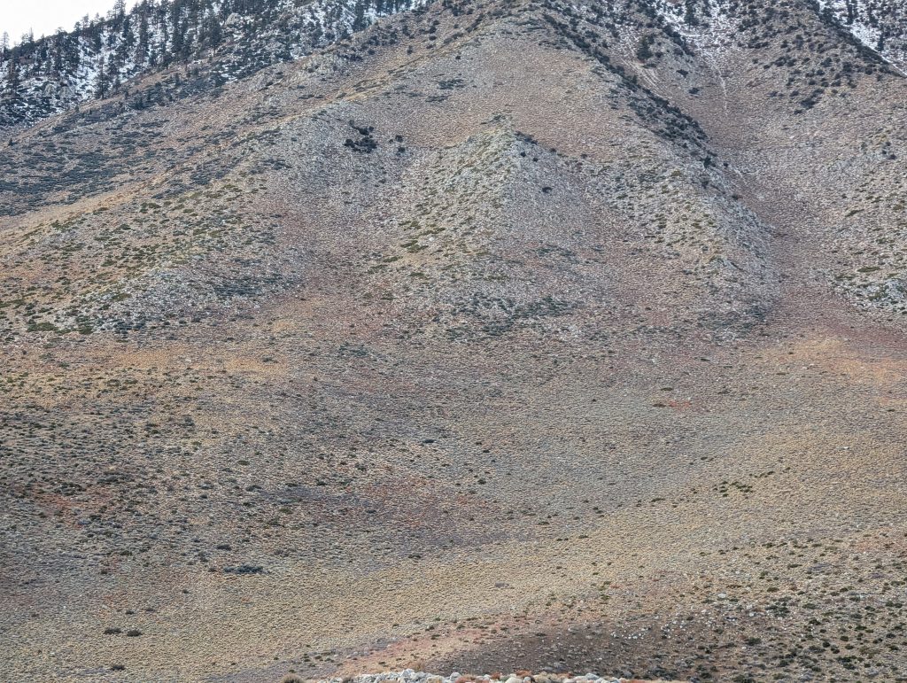
The first few miles of trail are nothing too spectacular. you start out with a few thousand feet of hiking towards the mountains, and then start the ascent by switchbacking up the face of the hill.
