High Sierra Trail
We did this as a 7 day backpack trip in 2012. The High Sierra trail begins at the Crescent meadow and goes over the Sierra crest to Whitney Portal. There are many ways to accomplish this trail. This was our first long distance backpacking trip and although we trained quite hard for it we aimed to keep our mileage reasonable since we weren’t sure how we would handle the longer trip and relatively large elevation gains.
Table of Contents
Day 0 – Journey to the trailhead
With the beginning and ending trailheads for the High Sierra Trail being nearly 300 miles apart, it creates unique challenges. With some careful planning and a little bit of luck we were able to make it work quite nicely for us. Right up front we had two distinct advantages working in our favor. One, we live in Southern California and just a”short” 3.5 hour drive for us to Visalia. Second, we had family on the eastern side of the Sierra Nevada range that was able and willing to deliver a vehicle to Whitney Portal on our exit date.
Our hike occurred pre-covid so we still needed to pick up the permit in person. The permit was available the day before hiking out so we decided to reserve a room at the Wuksachi Lodge in Sequoia National park for the night before our departure date. This put us in the Park and would allow us to get a decent nights sleep.
With the hotel room reserved, the tricky part now becomes how to get to there without having to leave a Car at the Sequoia trailhead and then having to drive back to get it later. What we ended up doing was renting a car one way to get to Visalia. The rental car agency opened at 8am and we were there right then to deliver it. Then we took the first available Sequoia Shuttle from the Marriott stop to Sequoia. That got us in the park right on time to pick up our permit.
Day 1 – Crescent Meadow to Bearpaw Meadow (11.5 mi)
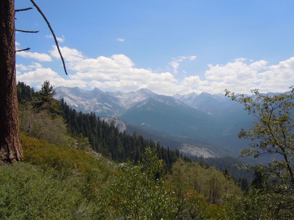
After a nice breakfast at the we took the shuttle to Crescent meadow which is the official starting point for the High Sierra Trail. Day one is a fairly easy, albeit lengthy, hike that mostly follows the mountain contours and has beautiful south facing views. The trail is well below tree line in the 6-7000′ range and makes for relatively comfortable hiking even in the summer heat.
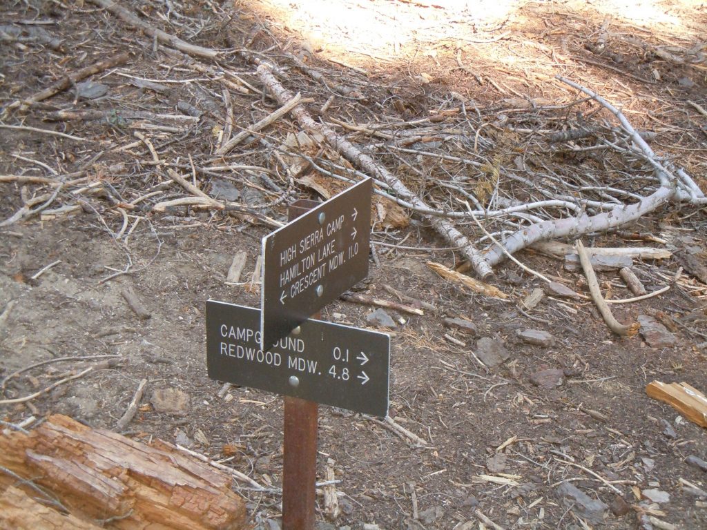
As you arrive to Bearpaw meadow area you will see the sign indicating the way to the backpacking camp area. There is no camping at the high sierra camp area. During the evening here we were woken by animals in camp, but fortunately it was just a couple of Deer.
Day 2 – Bearpaw Meadow to Big Arroyo Canyon (~10.5 mi)
Your second day is the first major elevation gain experienced on the trail. The day starts from camp with a easy first two miles, then steadily, and sometimes not so steadily, climbs up to nearly 11,000′ at the Kaweah Gap before dropping down into Big Arroyo Canyon.
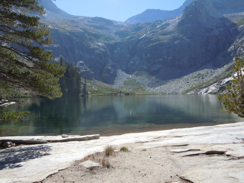
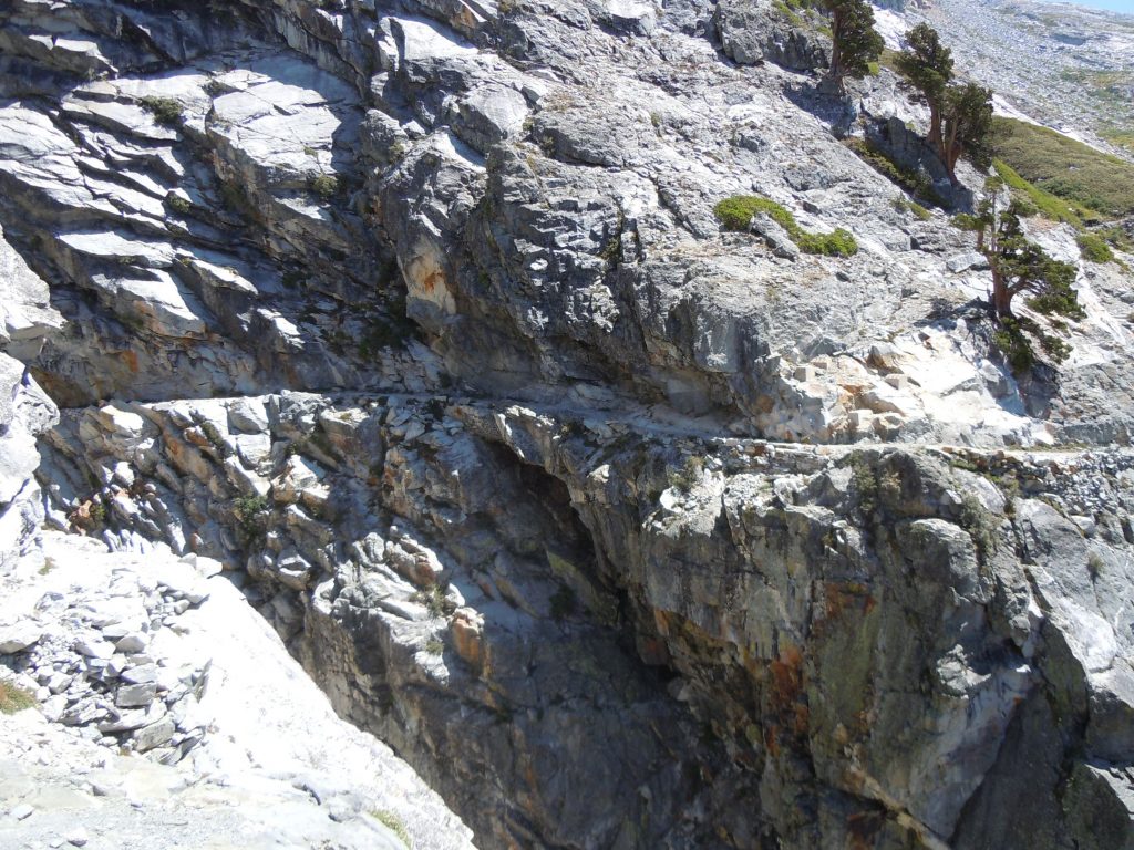
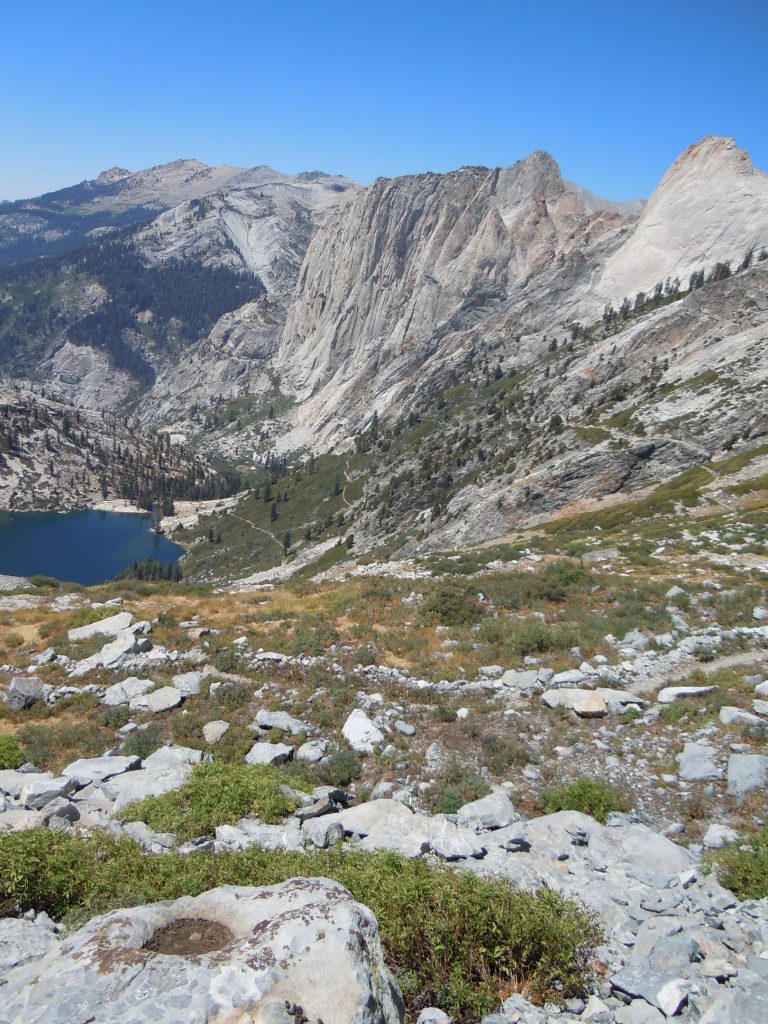
Just after the climb begins in earnest comes Hamilton Lakes. Depending on the weather this is a great spot to stop and take a bit of a breather and hydrate before tacking the remainder of the climb. The hydration part is important as there’s not much opportunity for water and the trail will be very exposed from this point until Precipice Lake near the top of the Great Western Divide.
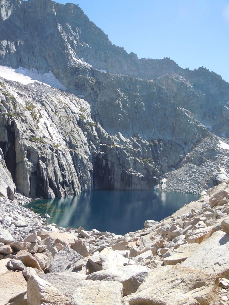
This section of trail is an engineering wonder. It clings to the side of the mountain and at one point even goes THROUGH the mountain (sorry but my photos didn’t do it justice). Be sure to take a celebratory swim in Precipice lake, it seems like a rite of passage as there were several doing just that when we arrived.
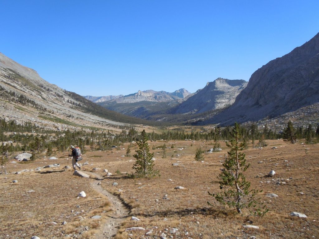
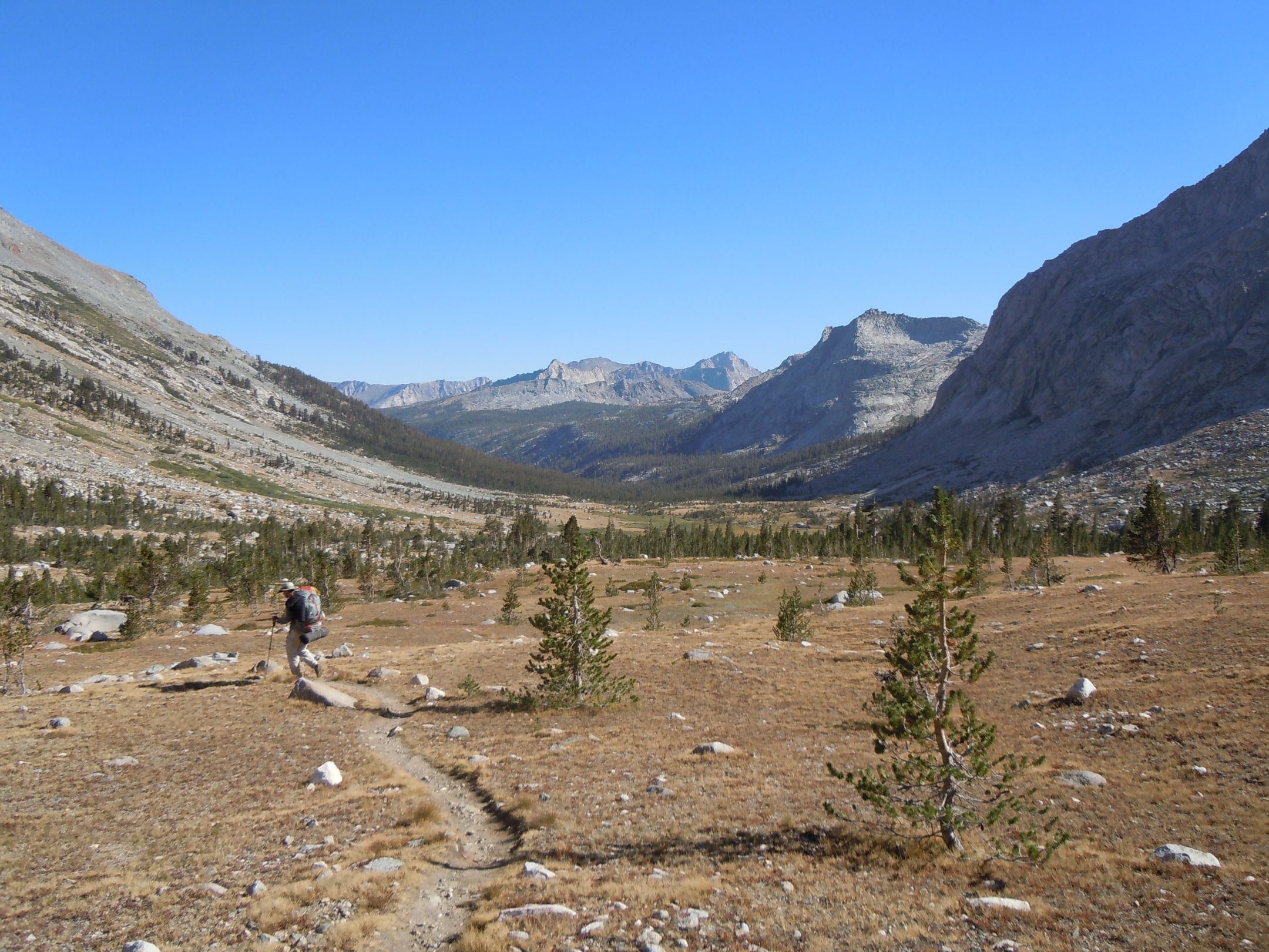
Not long after you pass over the crest of the Great Western divide you are rewarded with the magical view of Big Arroyo Canyon. As you can tell from the image above, the long suffering of the morning is well behind you and it is a very nice walk down the valley.
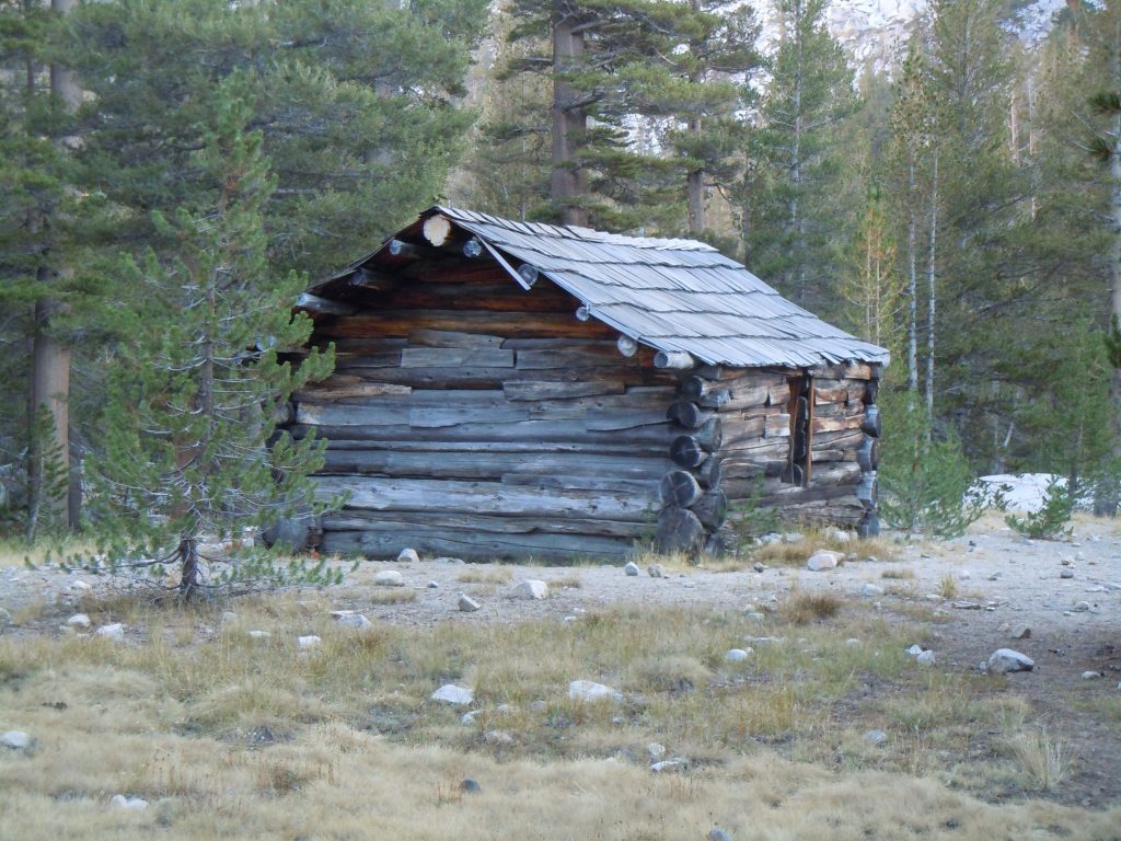
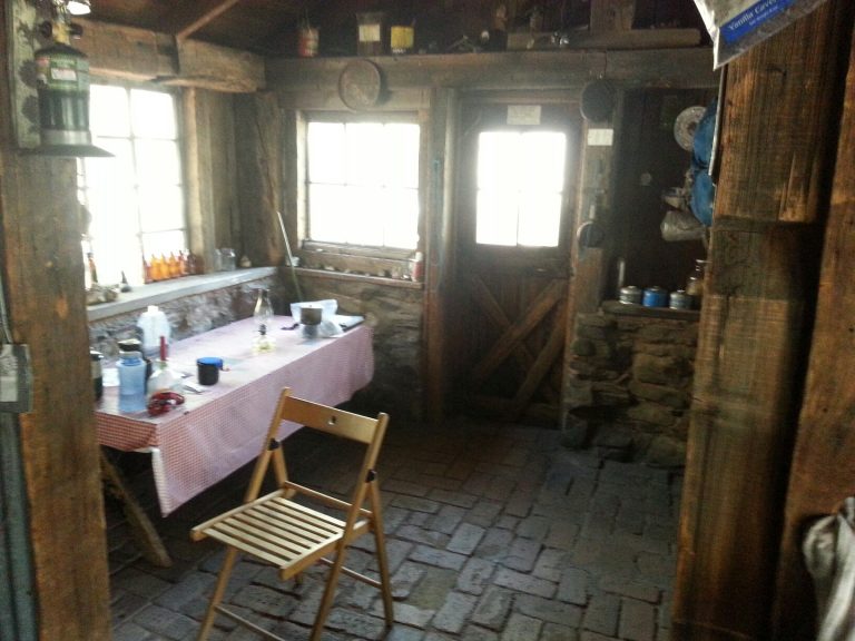
Depending on how you’re feeling at this point, there are camping options just past the Kaweah Gap at Big Arroyo Creek, but we opted to keep trudging on to the Forest Service Patrol cabin farther down the valley. For those that are heavy on supplies and nervous about bears there are bear boxes for use here.
Day 3 – Big Arroyo Cabin to Kern Hot springs (14.3mi)
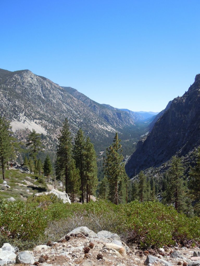
If you have bad knees this is going to be one of those days that is just not enjoyable. Not only is it one of the longest days of the trip, it’s predominately downhill. From the cabin you will drop nearly 3,000′ of elevation descending into the Kern river valley. For better or worse, most of this elevation loss comes all at once. But at least before you dive down in the valley you get a great view of it.
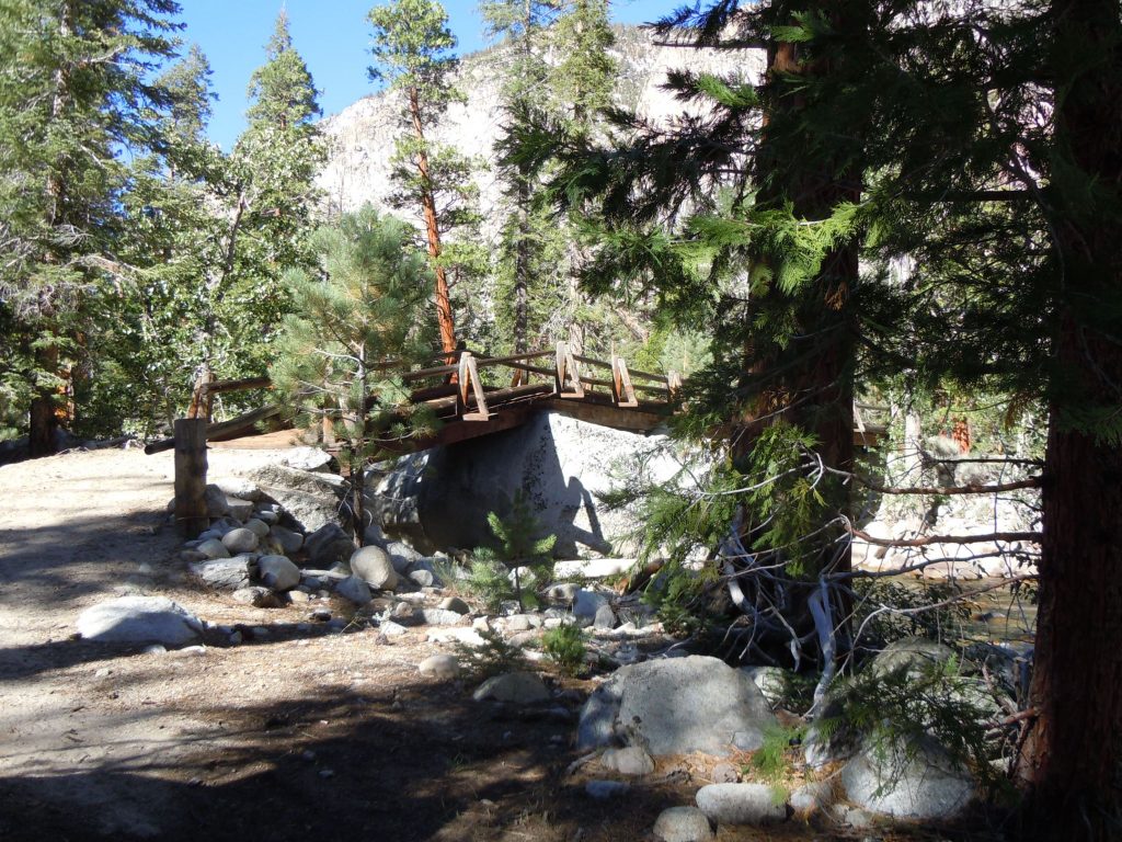
After the long descent is complete you will cross the Kern River via the bridge. Don’t worry we found it to not be nearly as rickety as it looks.
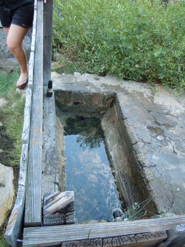
From there the trail becomes a bit indistinct with a few options (at least it did for us) but there’s no danger of becoming lost as most of the options eventually connect with one another. Soon you should find yourself at the hot springs which gives some much needed relief after your long day. Depending on the time of day and the weather, it may be more enjoyable to take a dip in the river rather than the concrete lined hot tubs.
Day 4 – Kern Hot springs to Wallace Creek/ JMT Junction (12.2 mi)
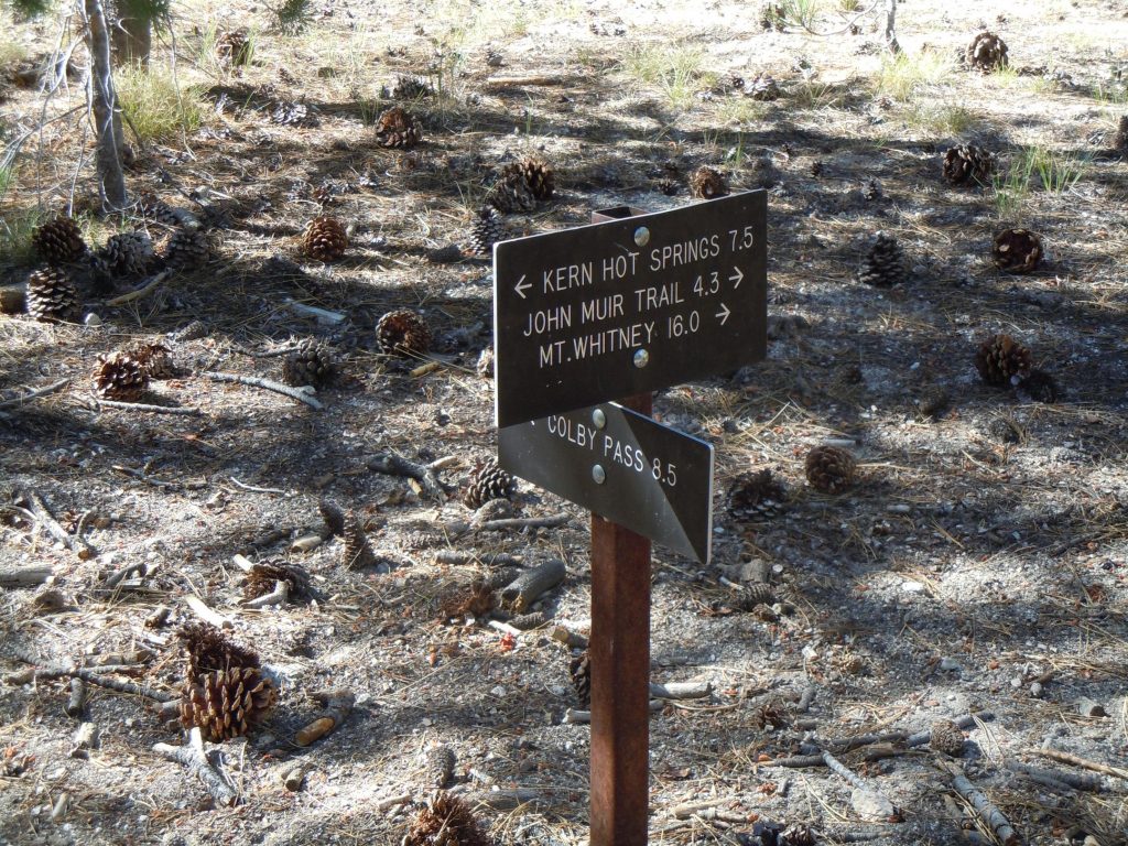
The saying goes what goes up must come down, and in this case the opposite is true. From this point forward there is only uphill until you reach the Mt. Whitney summit in a few days from now. The first three miles of the morning will be a very nice walk along the Kern River. This was a lush forest when we were there, but the 2020 rattlesnake fire has unfortunately taken some of the forest away.
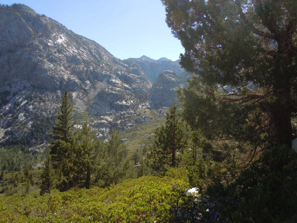
As you begin to climb back out of the Kern River valley you can once again look back to have a view of the magnificent valley. 4 miles and about 2000′ of elevation gain later gets you to the Wallace creek Junction. It is here that the High Sierra Trail, John Muir Trail and the Pacific Crest Trail are all a single path. This is a large camping area with plenty of spots and water. The ambitious might continue on but we were not ambitious on this day.
Day 5 – JMT Junction to Guitar Lake (7 mi)
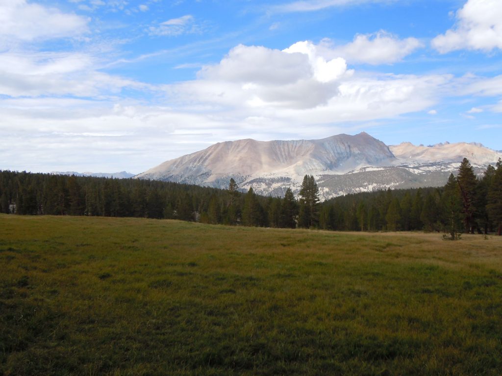
After the punishing uphill day prior, it was nice to have a relatively short day. Add to that only 1,200′ of elevation gain over 7 miles and it seemed like a downright vacation. Even if you’re feeling a bit tired, I highly recommend the .2 mile side trip off of the John Muir/ High Sierra Trail to see Crabtree Meadow. It’s well worth the additional effort.
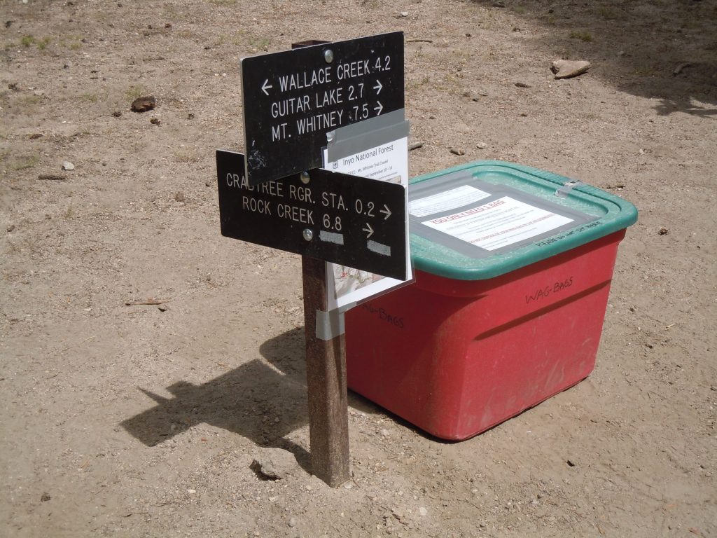
On our trip the wag bag box was right at the junction of the trail to the Ranger station. the Whitney zone is a 100% pack it in pack it out zone, including all of the waste that your body produces. It’s a bit of a weird feeling to carry that out with you, but once you get up above the tree line, you’ll quickly realize how important it is. With the number of people that are in the area, there’s no good way to keep the area free of human waste unless it is removed by the owner.
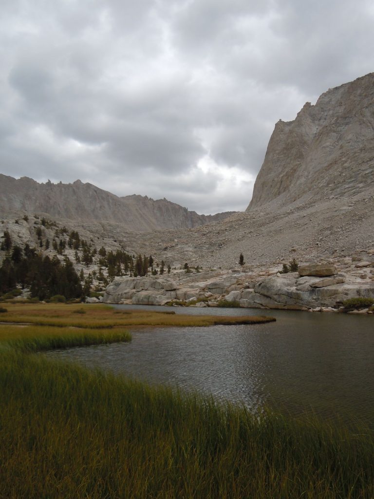
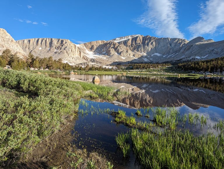
Timberline lake is a great spot for a lunch break. It will be the last bit of greenery you’ll likely see before heading back down the east side of the mountains. You may notice in the photo above though, that we were about to be fighting some weather so after the quick visit to Crabtree Ranger station (no one was home) we opted to continue on quickly to our destination of Guitar lake.
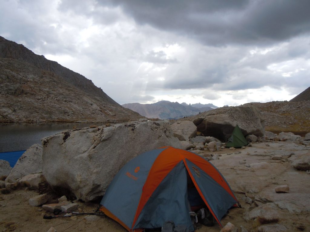
Important note about the photo above…Make sure you take note of the low spots around you and don’t be like me and put your tent in one! Fortunately the weather held off until early evening so we were able to leisurely get camp set up and strategically place our tents in areas that were sheltered from the wind. Some of us didn’t take into account the thunderstorms though and put our tent in what would eventually become a mini lake at 2am. We were using inflatable sleeping pads and this saved our sleeping bags from getting too wet, but finally at 3am we caved in and got on the trail. We had anticipated a 4:30am start to see sunrise from the summit so it wasn’t too far off of our expected start time.
Day 6 – Guitar Lake to Whitney Portal (16 mi)
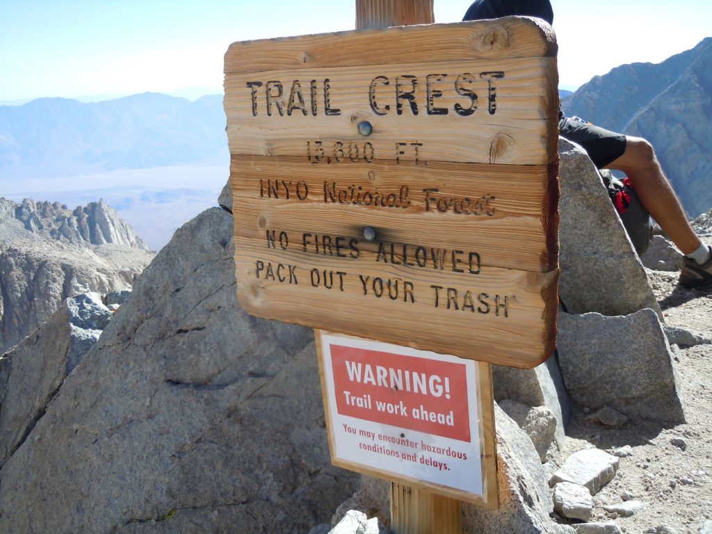
The day is finally here….Summit day! Despite our early start time we didn’t factor in the sheer amount of gasping for breath that would occur as we crested 12,000, 13,0000 and then 14,000 feet. The trail crest marker above photo was taken on the way back down so we didn’t quite miss the sunrise that badly, but it was well on its way up by the time that we got the summit.
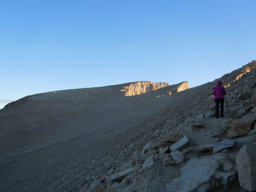
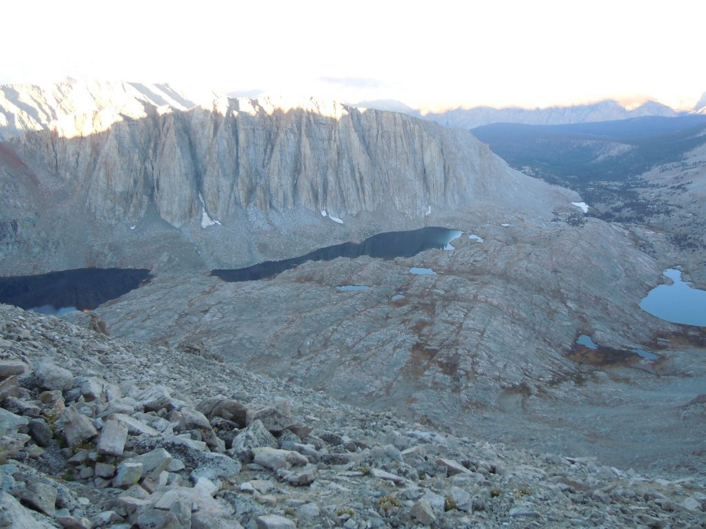
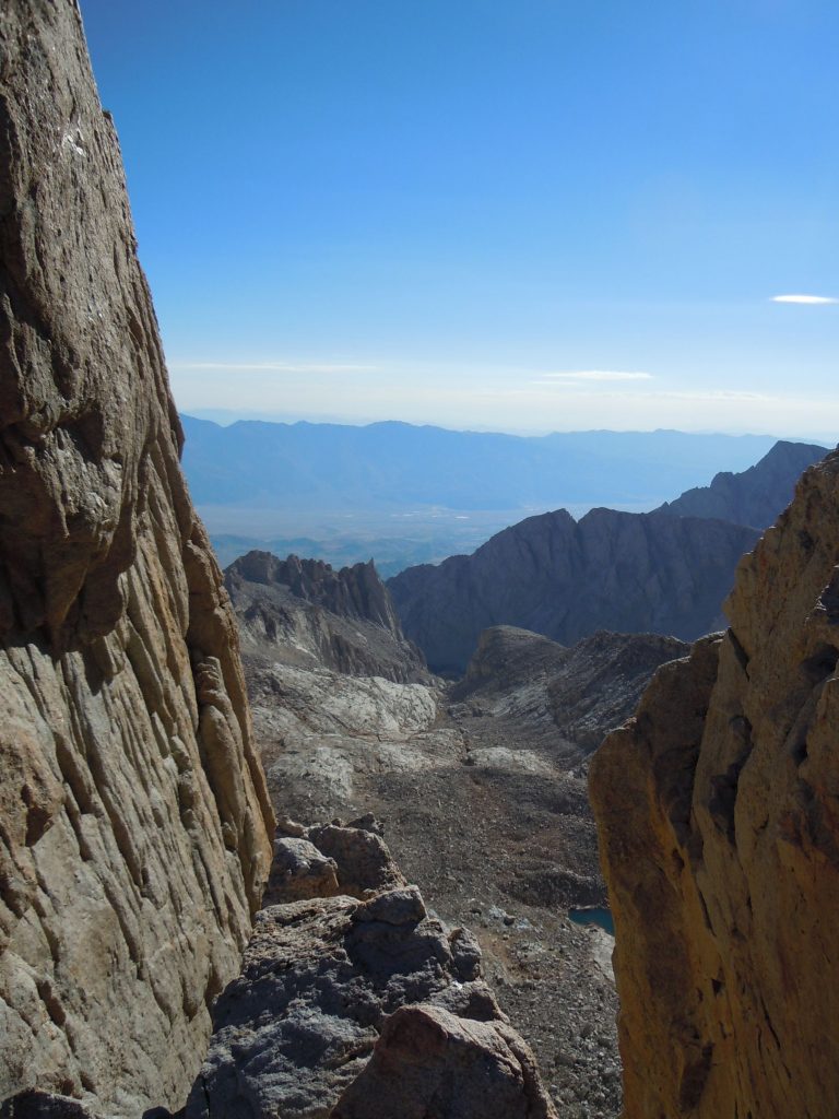
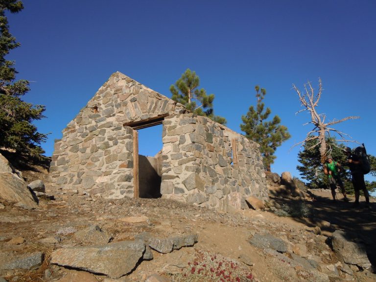
It may seem cliche, but the summit approach trail, which is still the High Sierra Trail but no longer the John Muir which technically doesn’t go to the summit, has some of the most eye popping views of the whole trail. (click the photos above to expand) The first glimpse of the hut on the summit revitalizes your energy and the sheer drops as you cross through the windows section makes you triple check every step you take to make sure your footing is secure.
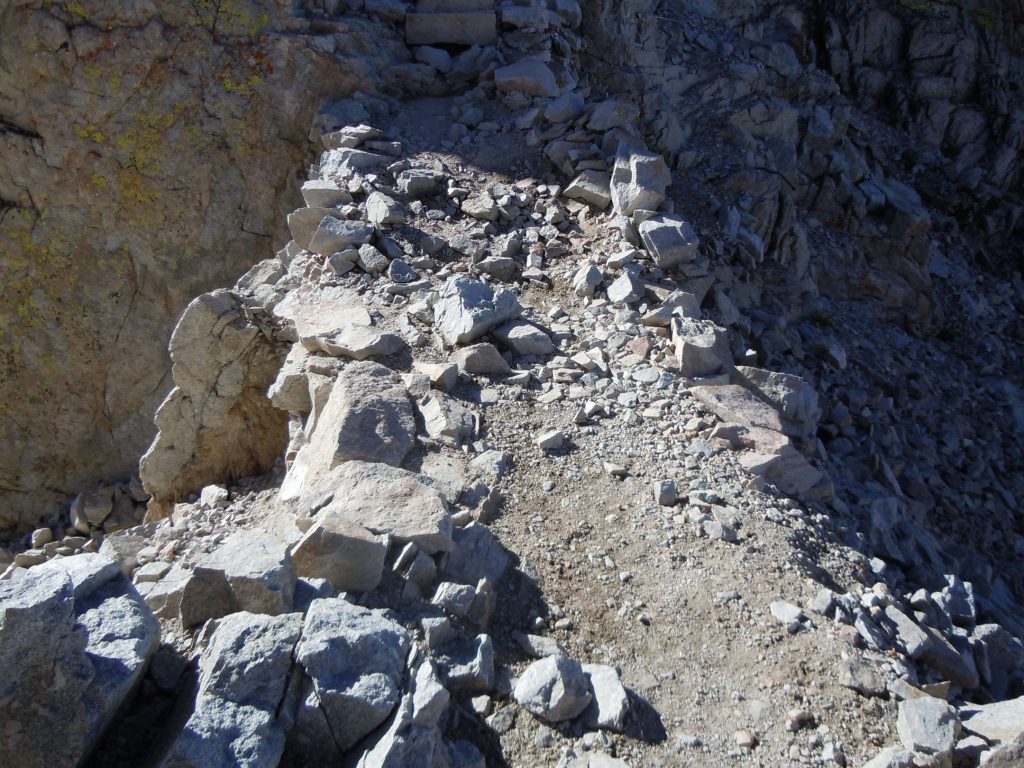
As you can see in the photo above, there are points on the summit trail that while pretty stable and relatively flat, are extremely narrow. This can cause a bit of anxiety in those that are not comfortable with heights
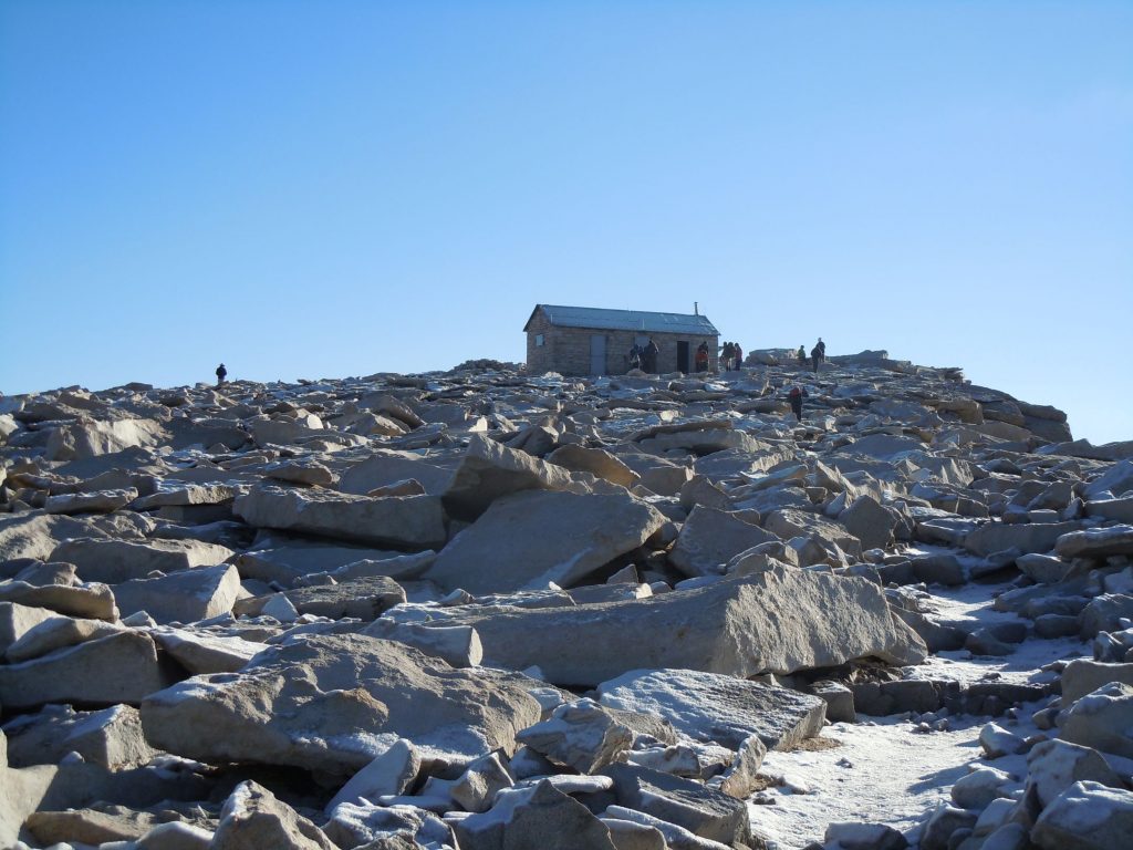
After climbing the 3000′ from Guitar Lake and successfully navigating the narrow trail to the summit, the last few switchbacks feel like they take forever. Just this last few feet of elevation gain seemed to require at least 3 rest stops to catch the breath in the thin air.
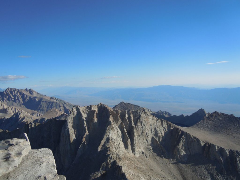
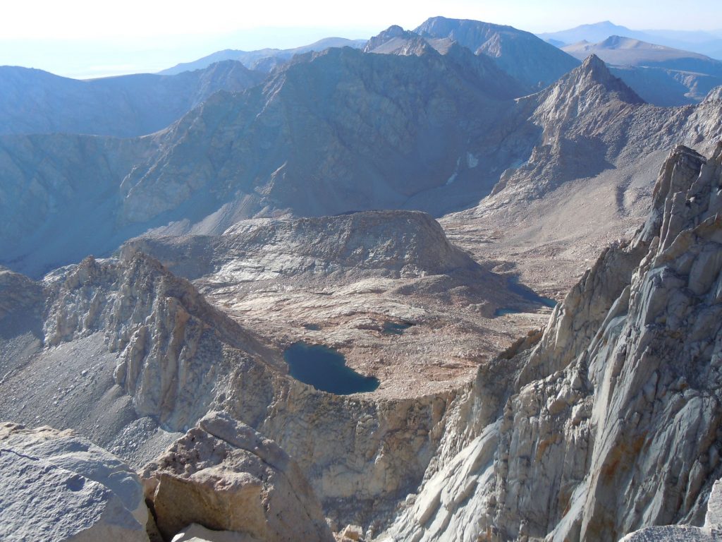
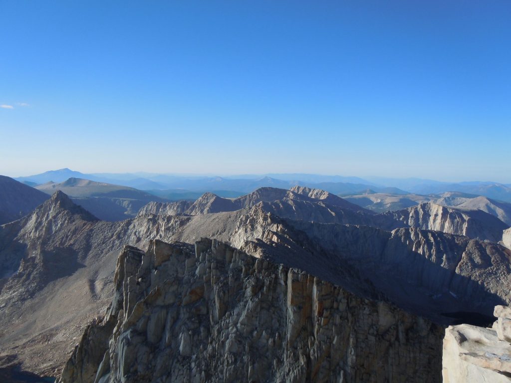
The reward comes quickly though. Once you arrive to the summit the views are limitless, after all you are on the highest peak in the continental United States.
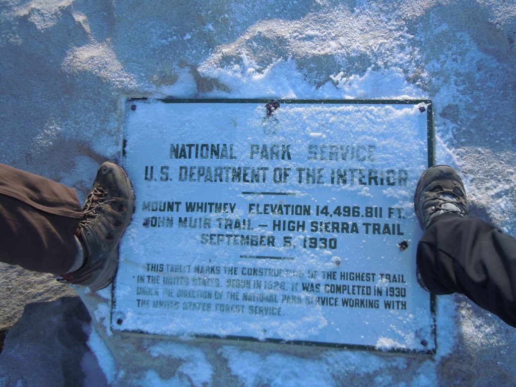
Remember to take as many photos as you can. And don’t forget to find the summit marker to get the ultimate evidence that you were there.
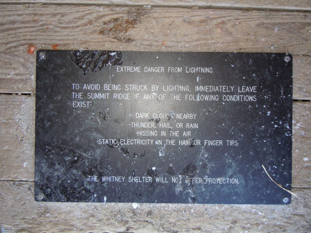
As much as it might be tempting, there are plenty of signs not to use the hut at the summit for shelter in the event of bad weather. The best course of action is to get to lower and more sheltered elevation.
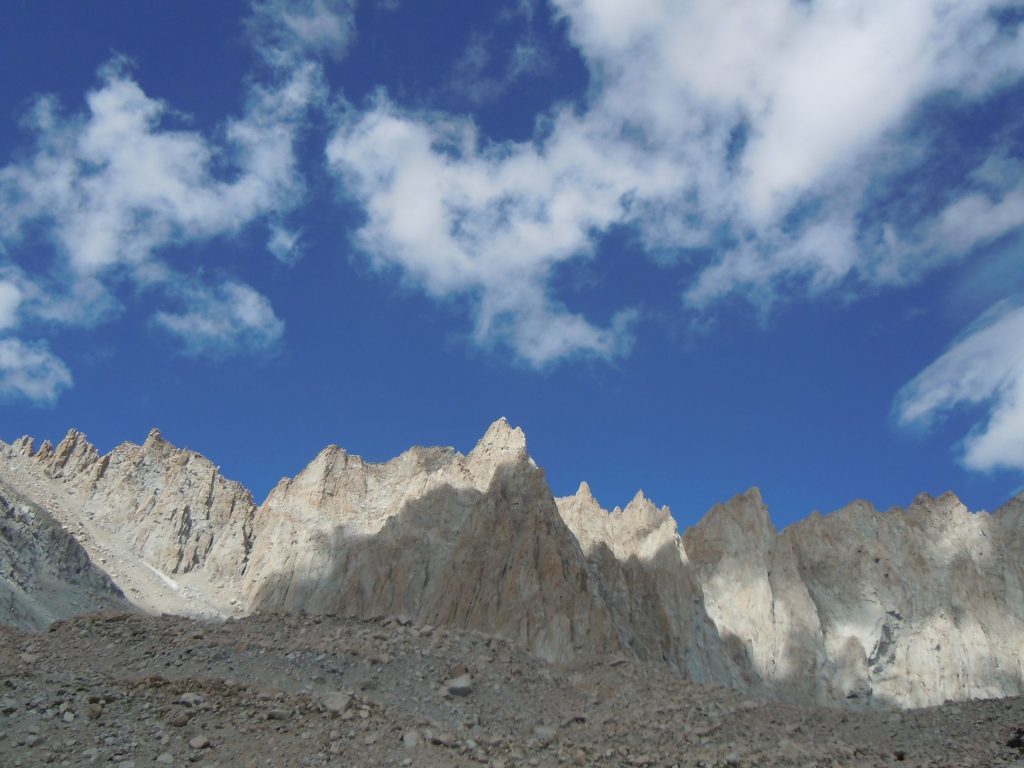
After the summit we made our way all the way down to the portal. It is about 11 miles from the summit to the portal making this a very long day with about 16 miles, 3,100′ of elevation gain and 6,000′ of elevation loss.
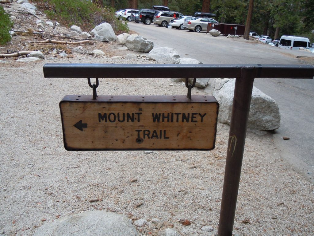
With our early start time we made it down in plenty of time to get a burger at the Whitney Portal Store.

One Comment
Comments are closed.