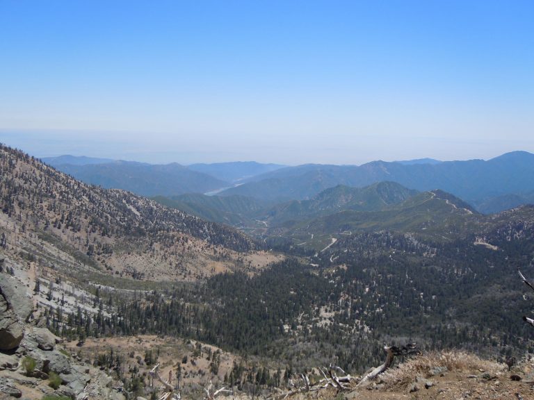
North Fork Big Pine Creek (Big Pine Lakes)
If you’re looking for relatively easy access to glacially fed lakes in the Eastern Sierra look no further than the North fork of Big Pine Creek Trail that Leads to Big Pine Lakes. Or as we like to call it the numbered lakes trail. Permits and other relevant information can be found here.
Table of Contents
Vital Information for North Fork Big Pine Creek
Trailhead: North Fork Big Pine Creek
Difficulty Level: Moderate
Season: Late Spring to Early fall (depends on Snow Level)
Permit Required: Yes for Overnight, no for Day hike
Nearby Weather: Weather.gov
Directions
Getting to the North fork Big Pine creek trailhead is a relatively straightforward adventure. From highway 395 in Big Pine, turn west on Crocker street and head out of town toward the mountains. The road will rename to Glacier View road and will at first gradually climb but will get steeper. Follow the road all the way to the end to deliver your packs but be sure to keep an eye out for parking spots along the way. If parking is looking full it may be wise to just park now and walk. This is relatively important as you can’t keep your car at the end of the road overnight.
It should be mentioned too that from the overnight parking area there is also a trail that directly connects to the North fork trail. We’ve not taken that way though as we generally choose to drive to roads end and drop off our supplies at the gate.
Trip Report
We’ve done the north fork of Big Pine creek a couple of different times. Both times were muli-night excursions. The hike to the numbered lakes is a moderately strenuous affair, It starts out nice and easily along a good road set in the trees just past where a gate ends your ability to drive further. You will cross a bridge over what is known as first falls. Just after the bridge you will encounter a sign that indicates the split in the trail between the South and north lake trails. Make the turn northward and you will encounter another smaller bridge.
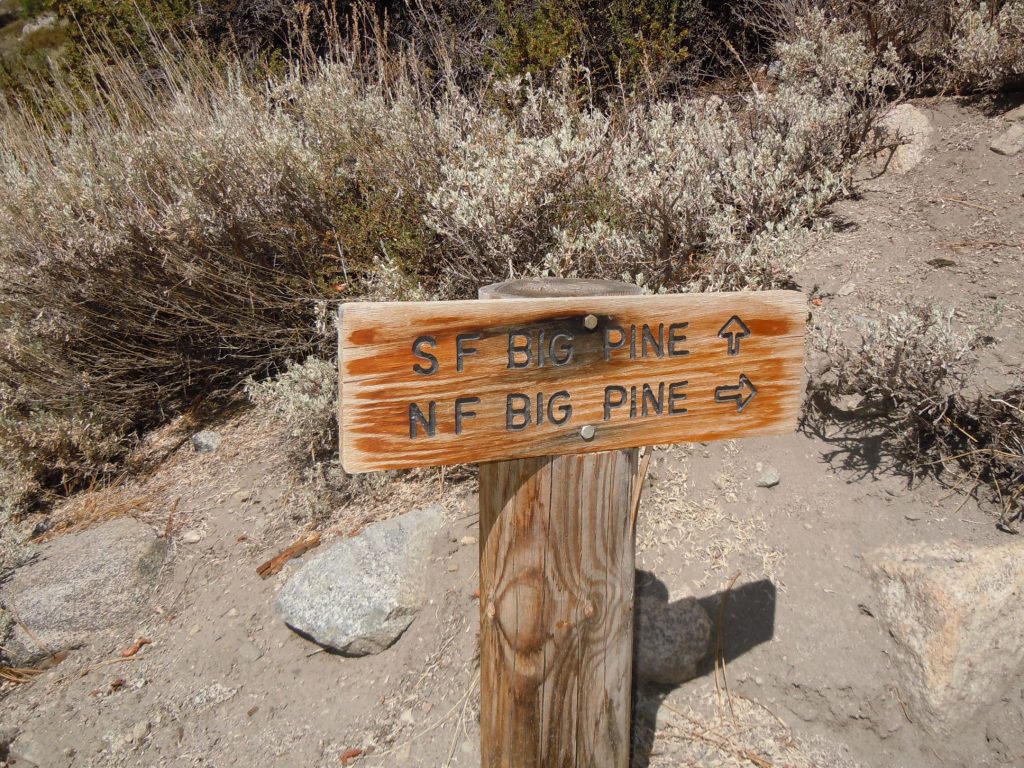
After you re-cross the stream again you will have to choose between two options. One, to take the lower trail and follow close to the stream, and another (better IMO) route to take the high trail that follows the contour of the mountain more closely. If you choose the lower trail, you will stay closer to the stream and have the potential avoid some of the sun exposure, (in the afternoon) but you will have to climb a fairly steep set of switchbacks to join up with the upper trail just before you reach Second falls about 1.75 miles into the trail.
About 1/2 mile after the connection of the lower and upper trails you will encounter a significant set of switchbacks and elevation gain. While tough looking, it is short lived and you return to a nice gradual incline afterwards. It’s at this point tha you also enter the John Muir Wilderness, which is marked by the typical Wood sign.
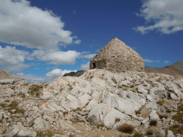
Continuing up the trail you will see just off in the trees Lon Chaney‘s cabin. Lon was a silent film actor back in the early 1900’s. He had this cabin built in 1929 but unfortunately passed away not long after its completion. It now belongs to the Government and is on the national historic register (Note to self, we need to get back up there to take a proper photo of the cabin!)
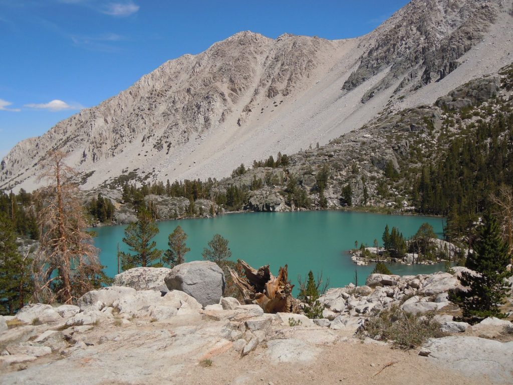
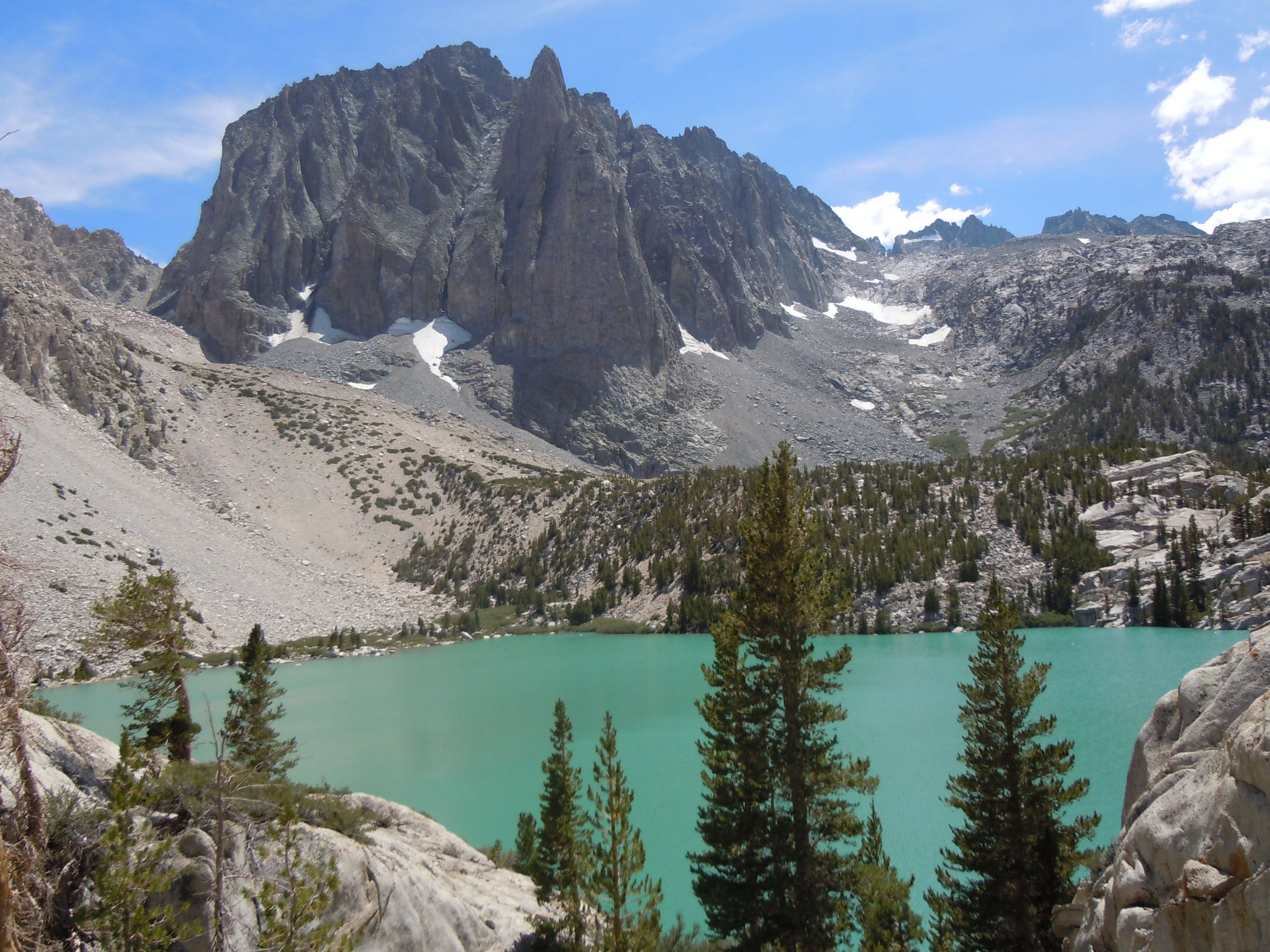
After visiting the cabin, the trail continues to steadily increase in elevation although not so much in incline. This continues for a little over 2 miles or so until you finally get your first glimpse of First Lake. If you’ve never seen a glacial fed lake before you are in for quite a treat. The terrible cell phone photo that we took of it doesn’t do it any justice at all. It truly is something to be experienced in person. First, Second, Third and Fifth lakes are all this wonderful shade of turquoise blue.
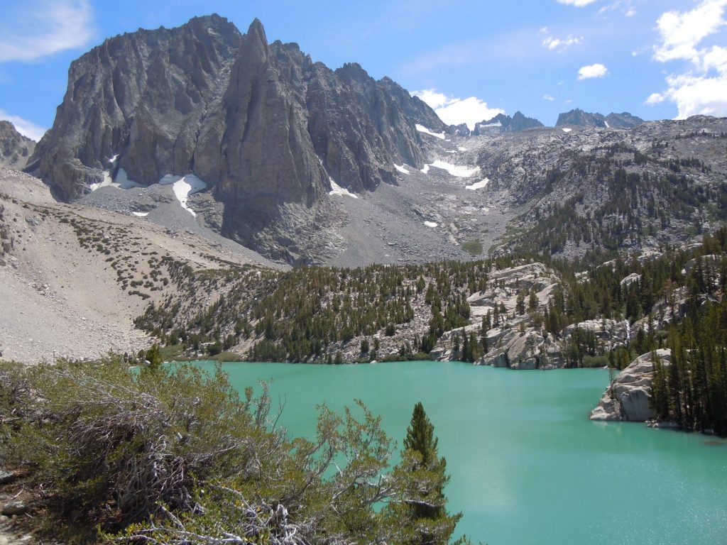
Just past First Lake, before you get to Second lake there are some good places to set up camp for the night if you are so inclined. But I think that we would recommend pushing on to the west side of Second lake or even continuing on to Third lake. The views from these spots are unmatched and it also puts you in good position to head to the rest of the lakes the next day.
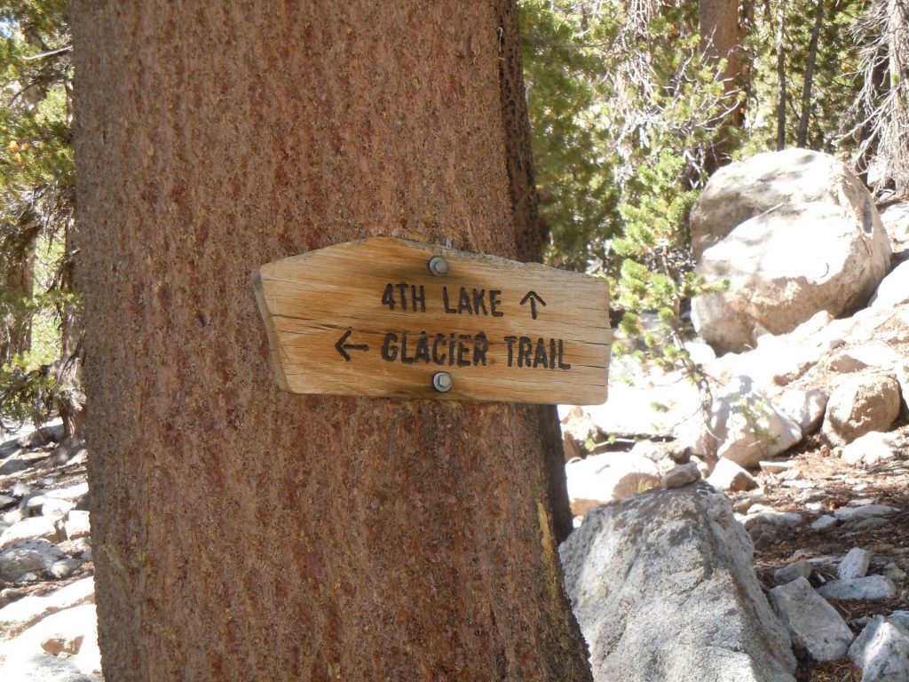
Leaving third lake you will have a fairly steep ascent before the trail flattens out again. in about 1/3 mile after the main climb you will reach the junction for the glacier Trail. If tempted by visiting the Glaciers, keep in mind that it is about a mile and a half of fairly steep uphill before the trail becomes an unmaintained footpath. We weren’t so brave on our trips and kept on towards 4th lake. The trail between the turn for Glacier trail and 4th lake is pretty flat with only a slight incline to be annoying. There is plenty of shelter in the trees and is really a beautiful are in its own right.
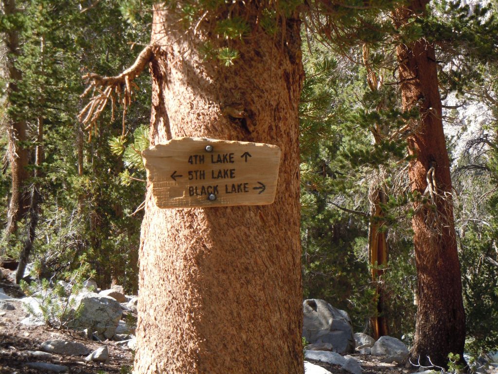
About 1/4 mile after the Glacier lake trail junction you will find a sign that marks the junction of trails leading to three lakes. 4th, 5th and Black lake. Going to the left for 5th lake will predictably take you just to 5th lake (although there’s a bit of an overland route to get back to 4th lake trail. Taking the 4th lake trail will afford you the opportunity to see 6th and 7th lakes, and going the Black Lake route will send you on the route to complete the lollypop of the trail back to second falls. Since we had the time, and we knew that 5th lake is also the beautiful color shared by First and second lakes we opted to head in that direction.
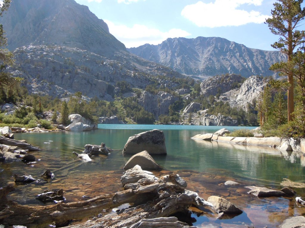
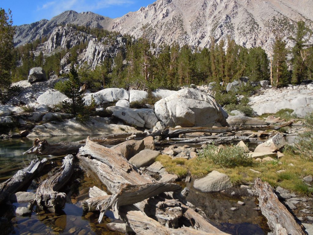
The view at 5th lake is unbelievable. Standing at the outlet with the trickling sound of the stream as it exits the lake makes it hard to leave. Since you are a bit higher elevation now the trees are thinned out, affording a nearly panoramic view. Being at lake level and seeing how the color of the water melts perfectly into the granite peaks around cannot be captured on camera. And especially on the camera that we had when we took this hike in 2012.
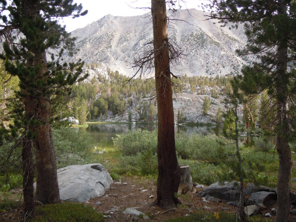
After the colorfulness of the lakes that we visited first, 4th lake was almost a disappointment (where in any other setting it would be incredibly beautiful). We barely stopped by it long enough to take this single photo through the trees before marching on up the trail. We would get the opportunity to have a better look at it on the way back though.
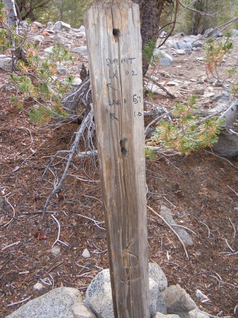
About a tenth of a mile after leaving 4th lake we encountered one of the less professional trail signs. This sign lies at the junction where if you were to go right would lead you around the back side of 4th lake, or if you followed the arrows will take you up the hill to summit and lakes 6 and 7. It’s interesting to us because it only has half of the information on it, and even that is just written in what appears to be sharpie. You can see the holes where there likely used to be a sign attached to it, but it is no where to be found any longer.
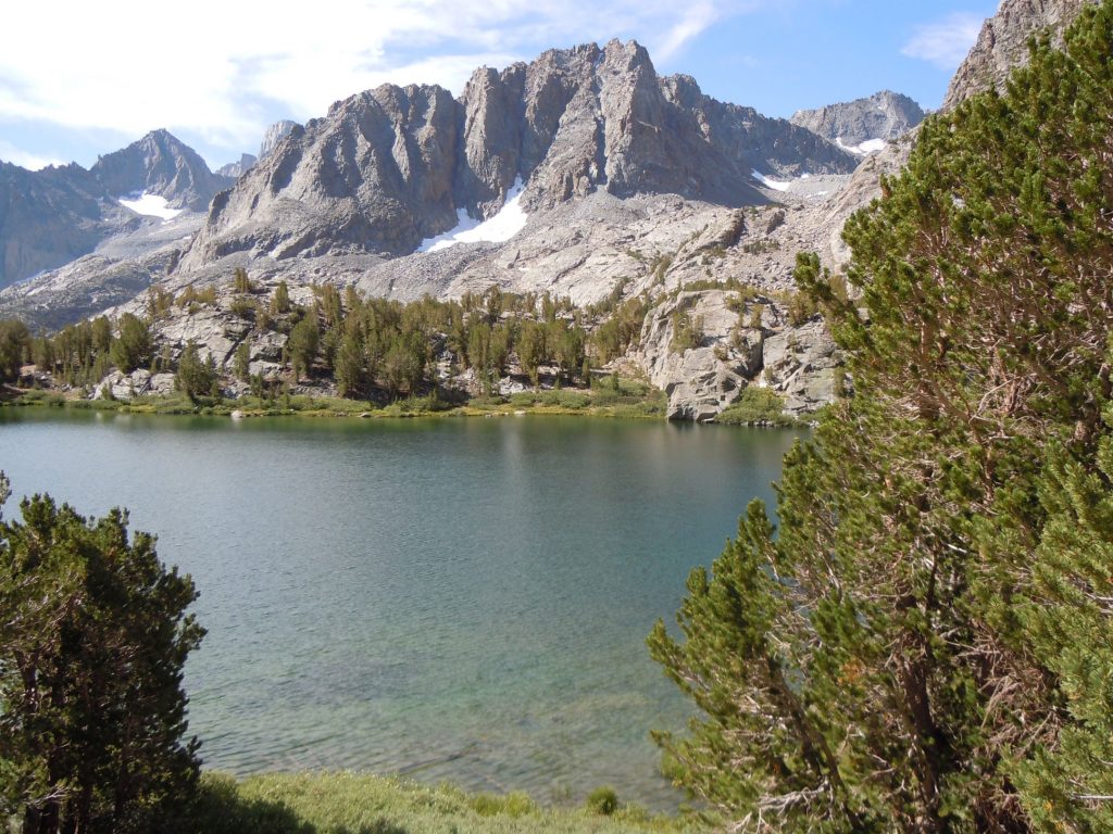
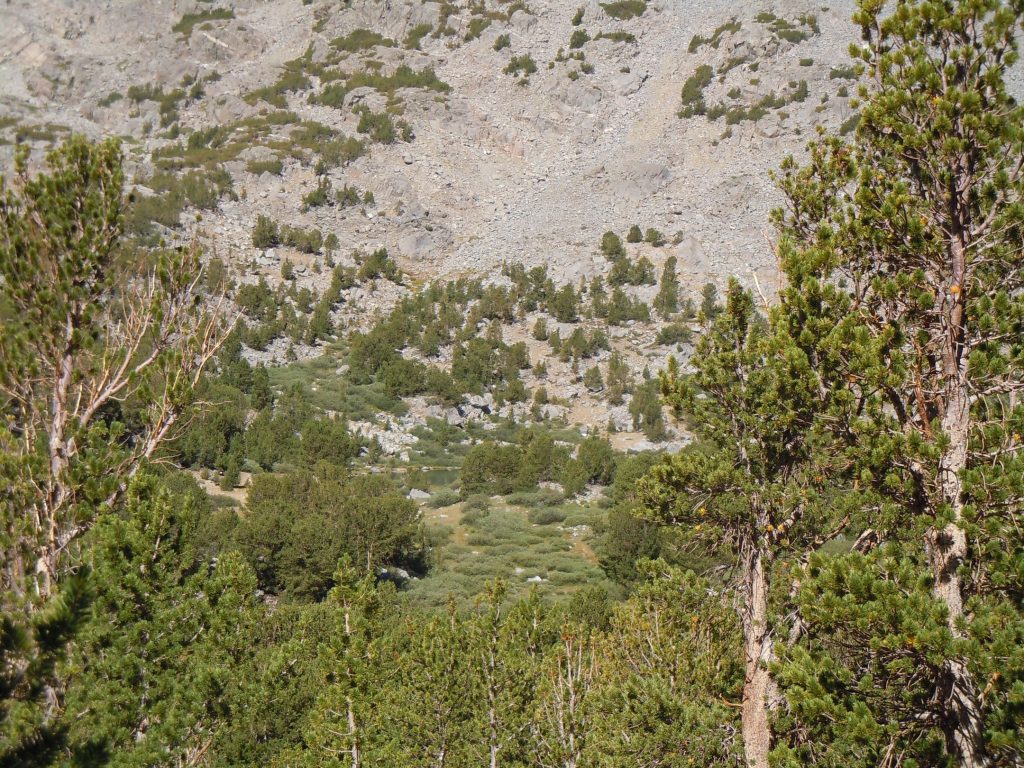
We didn’t hike too close to 7 and so you’ll mostly have to use your imagination and google earth to view it. You can just see 7th lake poking through the trees in the photos above. Perhaps on a other trip we will make a more concerted effort to get closer to it. We did get down to the shore of 6th lake and itlooked like a nice secluded place to camp although based on all the greenery between the two lakes we’d imagine that it could be a bit ripe with bugs.
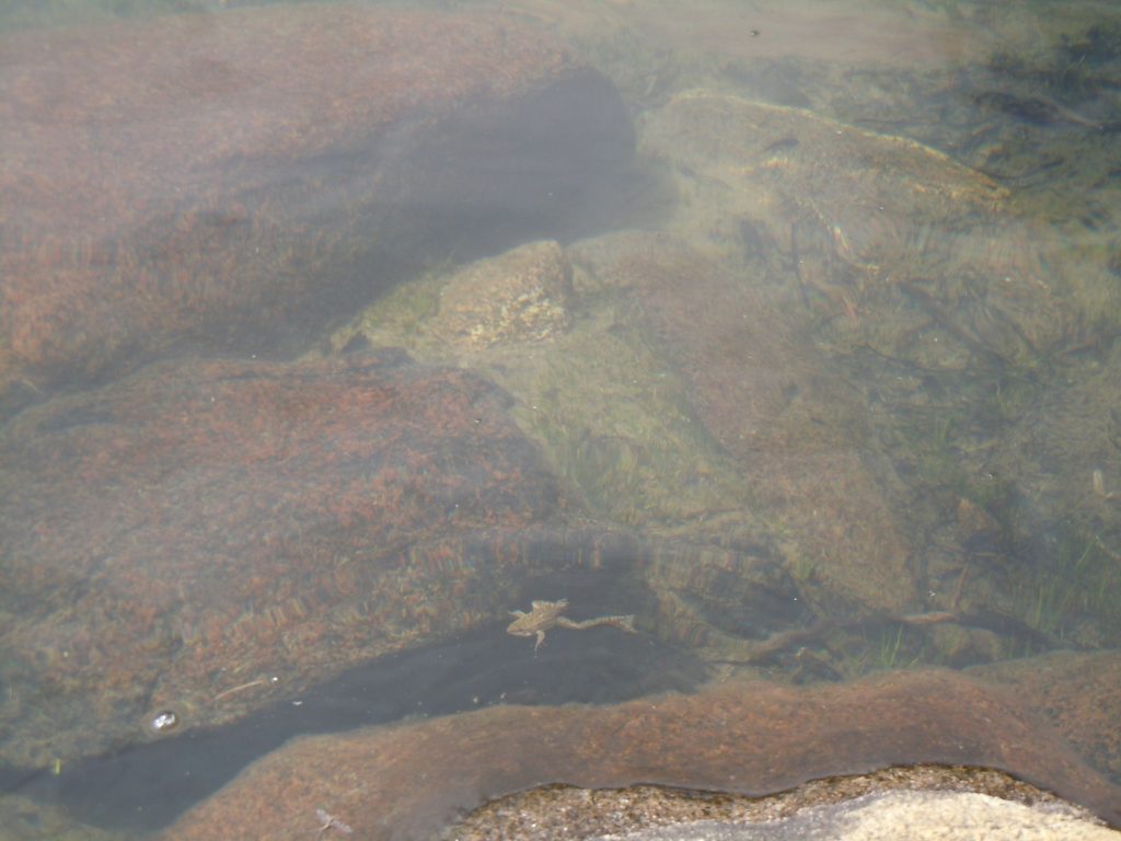
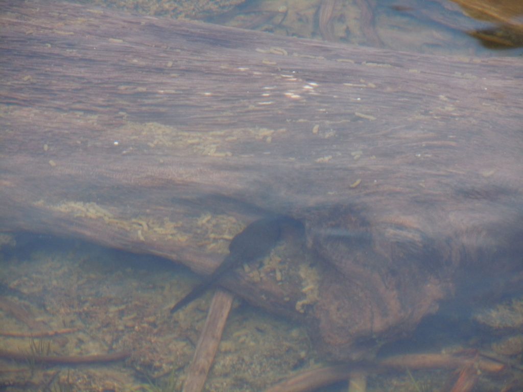
And to seemingly confirm that idea about the plethora of bugs we found a fairly sizeable population of what we believe to be Yellow legged frogs. This is supported by the fact that the fish have been removed from 6th and 7th lakes to assist in the reproduction of this endangered species. It was fun to see these creatures hopping in the water and swimming along. Please be sure to take special care when walking off trail in this area to assist in the recovery and longevity of this species.
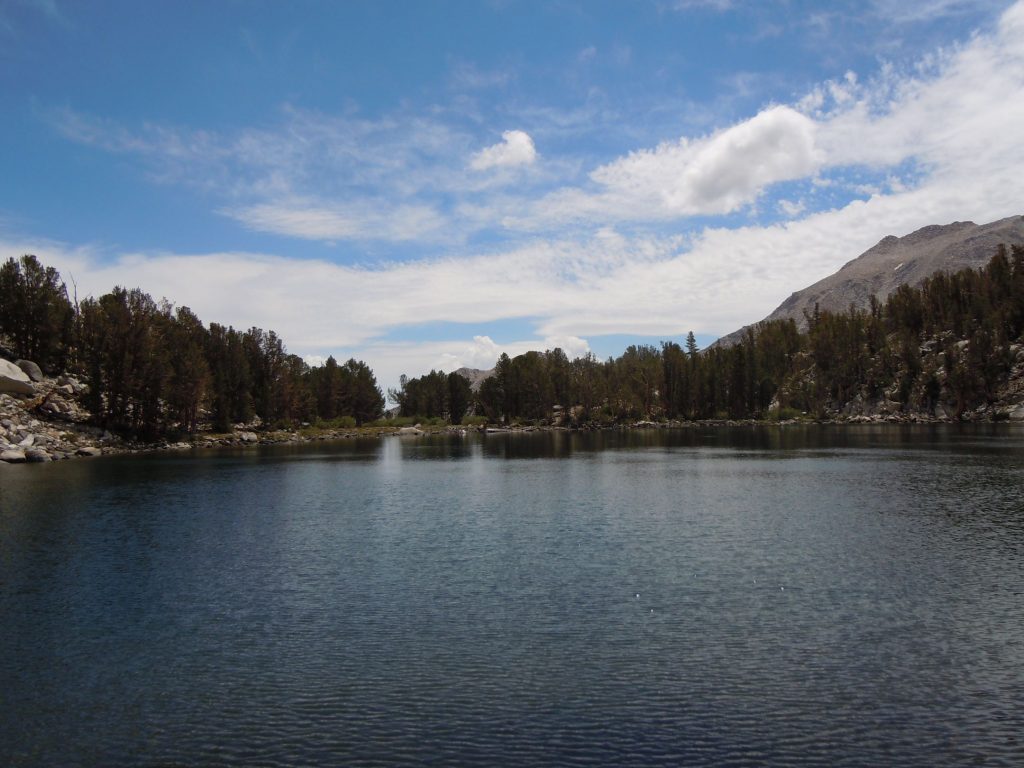
Heading back the way we came, we next proceeded to Summit Lake. At this point it seems strange to have a lake with a name instead of just a number. The trail is mostly downhill making this a nice, easy and stroll. You’ll arrive at the north end of the lake and outside of a few trees at the south end, the lake almost just seems to drop off into the horizon like an infinity pool.
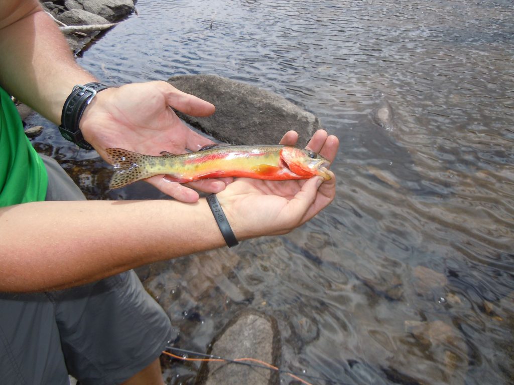
Despite being there in the early afternoon, fishing at summit lake produced a beautiful Golden trout. We released this one to have the opportunity to continue to grow. The clouds started building and we had a bit more trail to explore so we decided to cut the fishing session short and head for lower more sheltered ground.
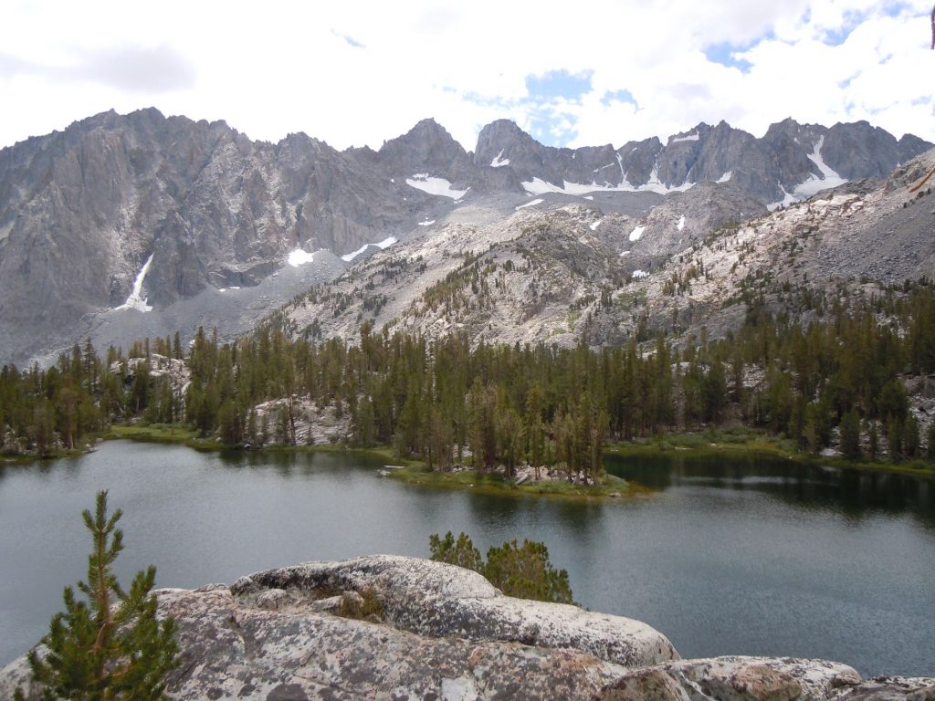
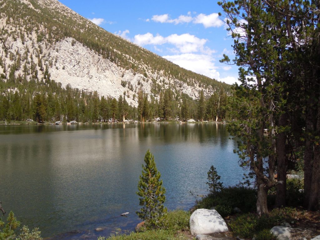
Taking the trail around the East side of 4th lake on the way down provided a birds eye view of the lake and the glaciers in the background. The color contrast on the overlook photo is pretty terrible, but even so you can see that the clouds have built up quite a bit in the last hour or so since we were at Summit Lake fishing. It’s still relatively clear to the West but that’s not the direction we’re headed. Appears that we could be in for a good thunderstorm session later on.
After leaving 4th lake we made our way back down to camp between 1st and 2nd Lakes. With the clouds building on us and Thunder in the distance we didn’t take many more photos, and none that were worthy of posting here. That evening was probably the second most intense Thunderstorm we’ve camped through. Each clap of thunder shook the ground. Thankfully we felt secure in our location as there is a relatively nice canyon between the lakes that provided shelter from the storm.
We did this trip as a 2 night trip, but since the elevation gain is relatively moderate the first couple of lakes could be done as a day trip or for those that are in good shape even the extra mile or so to get to 4th lake wouldn’t be too bad. Also as you’re heading away from 4th lake there is an option to go by Black lake and rejoin the North Fork trail just below 1st lake. This denies the opportunity to see 3rd and 2nd lakes again but quickens the route back to the trailhead.

